Map of South Dakota
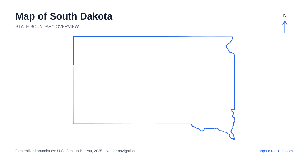
South Dakota is divided in a practical geographical sense by the Missouri River, with eastern agricultural plains on one side and broad western country leading toward the Badlands and Black Hills on the other. Sioux Falls anchors the southeast, Pierre lies near the center, and Rapid City serves the western region. Those places are not interchangeable bases for a statewide trip. Start by deciding which side of the river and which landscape contains the intended destination, then use the highway network to connect the regions in a deliberate sequence.
Let the central river organize the outline
The Missouri River crosses South Dakota from north to south through a series of large reservoirs and valleys. It is an important orientation feature, but it also creates a practical boundary with crossings at particular locations. A destination on the opposite bank may need a bridge well away from the closest point visible on the map.
Pierre, the capital, sits beside the river, with Fort Pierre across the water. The two communities belong to a shared local region but have different arrival addresses and approaches. Use the intended bank and crossing when planning a visit. For recreation around a reservoir, identify the actual shore access or launch rather than a pin at the center of the waterbody. The broad river corridor does not establish a continuous public road along every shoreline.
Place the eastern cities on their own corridors
Sioux Falls occupies the southeastern corner and has a substantial regional road network. Interstate 29 runs north to south through the eastern side, connecting the Sioux Falls area with the Brookings and Watertown regions. Aberdeen lies farther northwest within the eastern half and requires a different connection. These cities should be placed individually rather than grouped into one compact eastern metropolitan area.
A downtown visit, airport arrival and rural property outside a city all need different final approaches. Choose the actual destination before deciding how easily it fits into a through journey. If the trip continues west, the selected overnight location should also support that departure direction. The statewide overview is useful for choosing the corridor, while a closer view determines the practical route into the place being visited.
Follow the main cross-state highway
Interstate 90 provides a major east-to-west route across South Dakota, linking the Sioux Falls and Mitchell regions with the Missouri crossing near Chamberlain and the western approach toward Rapid City. It creates a clear framework, but not every important destination lies beside it. Pierre, for example, sits north of the main corridor and needs its own regional connection.
Before adding a stop away from the interstate, trace both the approach and the route onward. A short-looking spur on the state map can represent a meaningful share of the day. This is especially relevant when combining a capital visit, a river recreation stop and a western outdoor destination. The highway line helps organize the overall progression, but the local legs determine how much travel the itinerary actually contains.
Distinguish the Badlands from the Black Hills
The Badlands form a distinctive eroded landscape east of the Black Hills region. A visit to Badlands National Park should be mapped to the intended entrance and road segment, not simply to a central point within its broad boundary. A scenic loop may rejoin the main corridor at a different location, which can be useful when the onward route is planned deliberately.
The Black Hills lie farther west and contain a separate network of wooded hills, valleys and towns. Rapid City is an important gateway, while places such as Custer, Keystone and Deadwood serve different parts of the region. These destinations should not be treated as neighboring attractions reached from one identical entrance. A close terrain-and-road view explains their actual connections more clearly than a single western-region label.
Plan the western hills by their local road loops
Western South Dakota offers several possible circuits through the Black Hills, but the sensible route depends on the actual destinations and starting town. A trip involving a monument, a park and a small community should show the connecting roads rather than join the labels with straight lines. Hills, narrow valleys and local access arrangements can make the road sequence quite different from the apparent shortest shape.
A base near one side of the region may not suit repeated visits to the opposite side. Put the overnight address on the map alongside the day's first and last stops before choosing optional detours. For a scenic drive, the journey itself may be part of the purpose, while a transfer day has different priorities. Keeping those roles clear helps avoid filling a schedule with more local road travel than intended.
Keep the long regional transfers visible
An eastern city visit, a central river stay and a western Badlands-and-hills trip each provide a coherent starting plan. Combining them creates a cross-state journey with substantial open-country segments. Arrange overnight stops so that the route progresses through the regions instead of repeatedly returning to a distant city because it is the most familiar name on the map.
For a South Dakota itinerary, identify the chosen river crossing, reservoir shore or western park entrance before estimating the day's shape. Use the statewide outline for broad orientation and a detailed map for the final local access. That approach explains both the straightforward interstate framework and the more intricate road networks around water and hills, producing a plan that reflects the actual geography rather than the compact appearance of the state on a screen.