Map of South Carolina
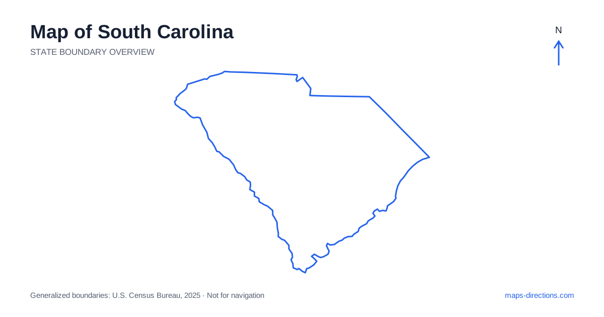
South Carolina changes from foothills and Piedmont cities in the northwest to a broad coastal plain and a deeply indented Atlantic shoreline. Greenville, Spartanburg, Columbia, Florence and Charleston provide useful regional anchors. Myrtle Beach and the islands near the southern coast belong to different travel areas rather than one continuous local beach district. Start with the Upstate, Midlands and coastal regions as separate map layers. Their road patterns and water crossings explain why two destinations with similar descriptions can require very different approaches.
Locate the Upstate in relation to the mountains
Northwestern South Carolina reaches toward the Blue Ridge, while Greenville and Spartanburg occupy the broader Upstate urban corridor. Interstate 85 is an important connection through this region, but mountain and lake destinations often need separate local approaches beyond the main highway. A place described as being near Greenville may be well outside the city center.
Use the actual entrance or town serving a recreation visit before judging its relationship to the urban corridor. Roads into the foothills may follow valleys or curve around higher ground, rather than continuing in a direct grid. The wider region also connects with neighboring states, so keep the regional map visible when choosing an approach. A state boundary does not necessarily coincide with the most practical road connection to a nearby lake or mountain area.
Place Columbia at the center of the Midlands
Columbia is the capital and a major junction in the central part of the state. Its position near important river corridors and highways makes it a useful orientation point, but the metropolitan area contains different arrival districts. A downtown visit, suburban accommodation and a lakeside destination outside the city are separate map tasks.
Lake Murray lies west of the capital area and has a branching shoreline with communities and access roads on different sides. A property near the lake should be located by its exact shore and entrance rather than a general capital-region label. The nearest-looking point across the water may have a much longer road connection. Mark the practical route around or across the reservoir before grouping several lakeside stops into one local plan.
Follow the main corridors toward their actual destinations
A road map of South Carolina shows Interstate 26 connecting the Upstate and Columbia regions with Charleston. Interstate 20 crosses the Midlands toward Florence, while Interstate 95 follows a north-to-south corridor through the eastern interior. These highways establish the broad regional relationships, but they do not all run directly beside the Atlantic shore.
For a coastal visit, identify the particular town and trace its connecting road back to the main corridor. A beach destination may require a substantial final leg after leaving the interstate. Likewise, an inland stop near a highway needs its exact interchange and local approach. Drawing those connections makes it easier to distinguish a convenient through-route stop from a separate excursion that changes the shape of the day.
Read Charleston through its rivers and surrounding communities
Charleston occupies a coastal setting between tidal rivers, with a metropolitan area extending beyond the historic peninsula. Mount Pleasant, North Charleston and nearby island communities have distinct road relationships. A booking described as being in the Charleston area may therefore be on a different side of the water from the attraction or venue it is intended to serve.
Choose the correct bank, bridge and local entrance when planning arrivals. A waterfront destination can look close across a river while requiring a longer road approach through the surrounding network. Beaches near the city also have separate access corridors and should not be represented by a single coastal pin. The regional map explains the arrangement of rivers and islands; the detailed view explains how the actual destination is reached.
Distinguish the Grand Strand from the Lowcountry islands
The South Carolina coast contains several separate destination regions. Myrtle Beach and the Grand Strand occupy the northeastern shore, while Beaufort and Hilton Head Island lie much farther southwest in the Lowcountry. Their shared Atlantic setting does not make them neighboring stops or give them the same practical road base.
Marshes, tidal channels and barrier islands divide many Lowcountry approaches. A bridge or causeway may be the key connection to a destination that appears close to the mainland. Identify the named island, accommodation or visitor entrance before comparing routes. A broad coastline label cannot show whether a visit stays on the mainland, crosses to an island or requires a separate water journey beyond the ordinary road network.
Build a regional sequence before adding detours
An Upstate city-and-foothills visit, a Midlands stay, a Charleston-area trip and a Grand Strand beach itinerary each provide a coherent starting focus. Combining them creates genuine regional transfers. Place overnight stops in a sequence that follows the intended corridors, rather than returning repeatedly to one centrally appearing city for visits spread across the state.
For a South Carolina itinerary, keep the final riverbank, reservoir shore or island attached to every destination. Use the outline to identify the broad region and a detailed road map to locate the actual entrance. This makes the transition from hills to coastal plain and tidal shore practical to the plan. The result is a route shaped by the state's real connections instead of the apparent closeness of city and beach labels on a small overview.