Map of Somerville
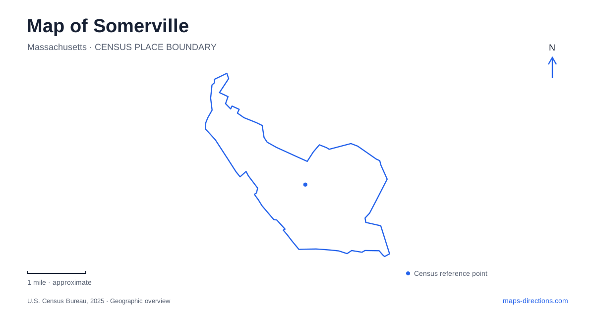
Street tiles load from OpenStreetMap when opened. The blue line shows the 2025 Census boundary.
- State
- Massachusetts
- Population · July 2025
- 84,211
- Land area
- 4.1 sq mi
- Water area
- 0.1 sq mi
Somerville's geography is organized around squares, hills, railway corridors and the Mystic River rather than a single downtown grid. A square can name a neighborhood center, a transit destination or a cluster of intersecting streets. The Community Path adds a separate route through this dense setting, while Prospect Hill and the riverfront reveal landscapes that a flat street diagram can understate. These different reference points make the city legible once their individual roles are kept in view.
Davis Square is a meeting of streets
The city's Davis Square accessibility project identifies Elm Street, Holland Street, Dover Street, Day Street, College Avenue and Highland Avenue among the streets around the square. Statue Park provides another recognizable local reference. The square is therefore more than an open paved space: it is a name for a meeting of routes and surrounding destinations.
On a Somerville map, use the particular street when locating a Davis Square address. Two businesses described as being “in the square” may face different approaches. The concentrated intersection pattern also explains why a short trip can involve several crossings. A detailed pedestrian view is useful here because the route between storefronts is organized by the actual corners and crossing points, not by a straight line across the district label.
Union Square has a different transit relationship
The city's Green Line extension information distinguishes the Union Square branch from the branch toward Medford/Tufts. The latter includes stations associated with Gilman, Magoun and Ball squares. These names help connect the rail diagram to local places, but they do not make all of the squares stops on one uninterrupted branch.
For a trip across Somerville, compare the destination square with the train's branch as well as its general line color. A neighborhood can be close on the street map while requiring a different transit movement. The city's geography and the railway network overlap without being identical. This distinction is especially useful when planning a journey with more than one square as a stop.
The Community Path follows the rail corridor
The city records the opening of the Community Path extension in 2023. The extension runs from Lowell Street through Junction Park and along the rail corridor toward Cambridge Crossing. A separate October announcement documented the opening of the remaining section between School Street and the Gilman Square station entrance at Medford Street. These records explain why older maps can depict incomplete connections that are no longer the original construction situation.
The path creates a continuous travel idea through places otherwise encountered as separate street neighborhoods. It is a walking, wheeling and cycling corridor, not merely a collection of park loops. At the same time, access occurs at particular connections to the street network. A destination beside the tracks may require using a named access point rather than leaving the path wherever its label appears nearest.
Prospect Hill adds elevation and historical purpose
Prospect Hill was used for Continental Army fortifications after the Battle of Bunker Hill. The National Park Service describes the later granite monument, opened in 1903, within a public park. The hill's role in the defensive landscape helps explain why its elevation matters: it was a strategic position before it became a commemorative destination.
For Somerville map reading, this is a reminder that a compact city need not be a flat one. A street map can place the monument close to surrounding destinations while showing little about the climb. Use terrain detail when comparing a route through the hill with a route following a lower corridor. The historical landmark is valuable both as a destination and as evidence of the landform beneath the surrounding urban pattern.
The Mystic River forms another public-space corridor
The city's Shore Drive Greenway project describes the river edge through Blessing of the Bay Park and its connection toward Sylvester Baxter Riverfront Park and Assembly Row. The project concerns a shared-use path and landscape improvements along the Mystic. This gives the riverfront a different spatial logic from Davis Square's intersecting streets or the Community Path's railway alignment.
The project description is also a planning record, so proposed features should be distinguished from completed facilities. Its broader geographical relationship remains useful: the park, footbridge and Assembly area belong to a waterfront sequence. A riverfront outing and a trip along the central rail corridor may both use shared paths while connecting different parts of the city.
Let the landscape choose the map detail
A useful Somerville map can move between three views: the close street intersections of the squares, the longer Community Path corridor and the terrain or waterfront setting of the parks. Each reveals information the others omit. Identify the square, branch, hill or river segment involved, then examine its particular connections. The result is a local geography with recognizable structure, rather than a collection of place names whose apparent proximity hides how people actually move between them.
Map and statistics: U.S. Census Bureau, 2025 Gazetteer, January 2025 generalized place boundaries and Vintage 2025 population estimates. Local references: City of Somerville; National Park Service. Article prepared by Maps & Directions.