Map of Socorro
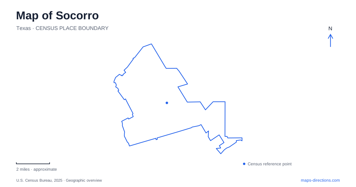
Street tiles load from OpenStreetMap when opened. The blue line shows the 2025 Census boundary.
- State
- Texas
- Population · July 2025
- 38,787
- Land area
- 22.0 sq mi
- Water area
- 0.0 sq mi
Socorro's historic geography follows movement: communities displaced from New Mexico, a river that changed its channel, and Mexican workers processed for agricultural employment across the United States. Those histories occupy different places in the lower El Paso valley. A map becomes more revealing when it separates the earlier mission site, the surviving church and the Rio Vista complex rather than treating them as one heritage stop. The river's modern position is particularly easy to misread as permanent. Historical accounts describe floods that altered both the channel and the location of buildings. The distance between a church and today's riverbank is therefore only one moment in a much longer geographical story.
Two mission locations, different evidence
The Texas Historical Commission distinguishes the protected Old Mission site from the present church. Following the Pueblo Revolt of 1680, Spanish refugees and Indigenous people from New Mexico established new settlements in the El Paso del Norte region. A temporary church was in use at the protected site by 1684, followed by a permanent adobe structure in 1691.
The commission identifies Piro, Tano and Jemez people among the mission community, alongside Spaniards. This was a community formed through colonial upheaval and displacement, not simply a building established on vacant land.
Flooding destroyed an early church, and another major flood in 1829 shifted the river channel south. The present mission was subsequently built about half a mile northwest of the earlier location. For Socorro, that separation is essential: the archaeological site and the standing church preserve different kinds of evidence about the same broader community history.
The surviving church and cemetery
The National Park Service dates the standing church to 1843 and gives its location as 328 South Nevarez Road. Its stepped adobe facade and the cemetery in front create a recognizable landmark, but the site's meaning extends beyond its architectural appearance. Burials, religious practice and the building's continuing community role connect it with generations of local families.
The structure also reflects substantial conservation work. The park service describes a restoration prompted by moisture damage in the 1990s, including new adobe blocks, bell-tower repairs and conservation of interior features. The surviving church is therefore both historic fabric and the result of sustained repair.
A map of Socorro can show the building footprint and cemetery, but it cannot by itself distinguish an original wall from a repaired section or explain a family's relationship to the place. Those details come from the site's interpretation. The property remains a religious setting as well as a historical destination, so a visit should respect its active use.
Rio Vista before the Bracero years
Rio Vista Farm at 901 Rio Vista Road began serving as El Paso County's second poor farm in 1915. The Texas historical marker describes John and Agnes O'Shea's management and the later involvement of their daughter, Helen O'Shea Keleher. The site accepted adults in need as well as neglected and abandoned children.
During the Depression, its role expanded through several public welfare programs. The marker records work under the Texas Transient Bureau and Works Progress Administration, along with temporary use by a Civilian Conservation Corps unit in 1936. The campus consequently accumulated functions over time rather than being created solely for one later program.
That layered use is important when reading the grounds in Socorro. A building's most famous association may represent only one period of its working life. The farm label, the welfare history and the labor-processing history all belong to the same physical complex, but they should not be treated as interchangeable descriptions.
Labor history in the arrangement of buildings
From 1951 to 1964, Rio Vista served as a reception and processing center for the Bracero Program, which brought Mexican laborers to agricultural employment in the United States. Library of Congress documentation records the complex and individual structures, including a building used for processing, photography and X-rays.
Those separate functions help explain why the site should be read as a campus. A single monument symbol can hide the sequence of spaces through which workers moved. Administrative procedures, examination and accommodation required different rooms and buildings, and their arrangement is part of the historical record.
The Historic American Buildings Survey also describes adobe construction and Mission Revival design features, including distinctive parapeted ends. These material details connect the institutional complex with regional building traditions while preserving evidence of its twentieth-century purposes.
Preservation does not mean every room is open
The National Trust reports that the Bracero reception center received National Historic Landmark designation in 2023. That recognition establishes national historical significance; it does not automatically establish the opening date of every planned museum room or the completion of every rehabilitation project.
Older municipal pages describe restoration phases and proposed new uses. They are useful records of the preservation effort but should not be read as proof that all proposed facilities now operate. Current site arrangements remain a separate question from landmark status.
The most informative map of Socorro keeps these distinctions visible: archaeological remains versus a standing church, an altered river course versus a fixed modern line, and a multi-building labor-history campus versus a single attraction pin. Each difference adds substance to the geography.
Map and statistics: U.S. Census Bureau, 2025 Gazetteer, January 2025 generalized place boundaries and Vintage 2025 population estimates. Local references: Texas Historical Commission; National Park Service; Library of Congress, Historic American Buildings Survey; National Trust for Historic Preservation; City of Socorro. Article prepared by Maps & Directions.