Map of Smyrna
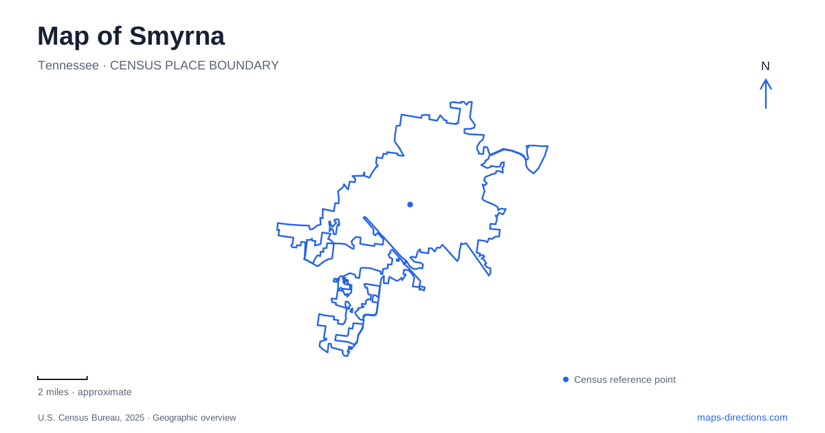
Street tiles load from OpenStreetMap when opened. The blue line shows the 2025 Census boundary.
- State
- Tennessee
- Population · July 2025
- 63,321
- Land area
- 34.5 sq mi
- Water area
- 0.1 sq mi
Smyrna, Tennessee has been shaped by three very different transport systems: the railroad around Front Street, the airfield associated with the former Sewart Air Force Base, and modern vehicle manufacturing. Parks and greenways add another set of connections through the developed landscape. Reading these layers together helps explain the town's varied scale. A short downtown block, an airport property and an assembly-plant campus occupy very different amounts of space, even when a regional map gives each only one label.
Front Street records the railroad town
The town's historic-district guidelines explain that the old downtown developed around lots sold by the railroad near its depot, a stop between Nashville and Murfreesboro. Front Street therefore belongs to a settlement pattern organized around rail access. Its historic identity is more specific than a general collection of older buildings: the depot and surrounding commercial property formed the town's early center.
For Smyrna, this railroad setting provides a useful starting point for interpreting the modern map. The Front Street district is a compact named area, while later transport and industrial developments occupy much larger properties elsewhere. The contrast reveals how the town grew through several kinds of economic activity instead of expanding at one consistent block size.
The district's design guidance also treats the streetscape as a connected whole, considering buildings alongside sidewalks, frontage and public space. A downtown walk can therefore focus on the relationship between the depot, street and surrounding properties, rather than treating the station building as an isolated historical object.
The airfield preserves a much larger transport footprint
Smyrna Airport occupies the former military-airfield setting and now serves general aviation and regional business activity. The airport authority traces its construction to 1942, its later name of Sewart Air Force Base and its transition to civilian operation. That history explains the large runways, service areas and specialized buildings visible on the map. Their scale is fundamentally different from the older railroad district.
The authority places the terminal and business center on the western side of the airport, near the municipal golf course. This is useful geographic information because an airfield's central label is likely to sit among runways rather than at the landside destination a visitor needs. The terminal, aviation businesses and training facilities form separate parts of the wider property.
The airport is also distinct from Nashville International Airport. Its role as a regional reliever and general-aviation facility does not make the two interchangeable destinations. Preserve the airport and business name when planning a meeting or flight-related visit.
Nissan Drive identifies the manufacturing landscape
Nissan's local vehicle assembly plant is listed at 983 Nissan Drive. The company's history dates the start of United States vehicle production there to June 1983. This introduces a third transport-related layer after the railroad and air base: a large manufacturing site organized around vehicle production rather than passenger movement.
Smyrna's industrial geography becomes clearer when the plant is treated as a distinct campus. An employment visit, an organized plant tour and a journey through the surrounding road network are different activities. The public plant address identifies the site, while the host's instructions establish the appropriate arrival location. The factory's presence also helps explain why a local overview contains large building and parking footprints that cannot be understood using the small-block pattern of Front Street.
Park addresses reveal several recreation clusters
The municipal directory places Lee Victory Recreation Park at 110 Sam Ridley Parkway East and the Outdoor Adventure Center at 100 Sam Ridley Parkway East. Their neighboring addresses identify a recreation cluster along the same road. A map of that area can keep the park and indoor activity destination together while retaining their separate facility names.
Sharp Springs Park uses a different reference, 311 Jefferson Pike. Gregory Mill Park is listed at 390 Enon Springs Road East, while J.J. McWilliams Old Rock School Park is at 400 Enon Springs Road West. The east and west suffixes are meaningful parts of those last two addresses. Similar numbers and a shared road name do not place the parks at the same end of the street.
These locations distribute recreation across the town rather than concentrating every activity beside the historic depot. The directory's street references give a useful framework for comparing the actual places before deciding whether to combine them in one outing.
Greenways add connections outside the road network
The county visitors bureau describes a greenway connection between Lee Victory Park and Sharp Springs, with historical and educational signs along the route. This gives the parks a relationship that is not apparent from their different road addresses. A driving map explains the entrances from Sam Ridley Parkway and Jefferson Pike; the greenway map explains a continuous recreational connection between park landscapes.
A map of Smyrna is most informative when the rail district, airport, manufacturing campus and park network remain visible as distinct but connected layers. Their differences in scale and purpose explain the town's physical form. Street names and individual facility labels then turn that wider understanding into a useful plan for the particular visit.
Map and statistics: U.S. Census Bureau, 2025 Gazetteer, January 2025 generalized place boundaries and Vintage 2025 population estimates. Local references: Town of Smyrna; Smyrna/Rutherford County Airport Authority; Nissan; Rutherford County Visitors Bureau. Article prepared by Maps & Directions.