Map of Skokie
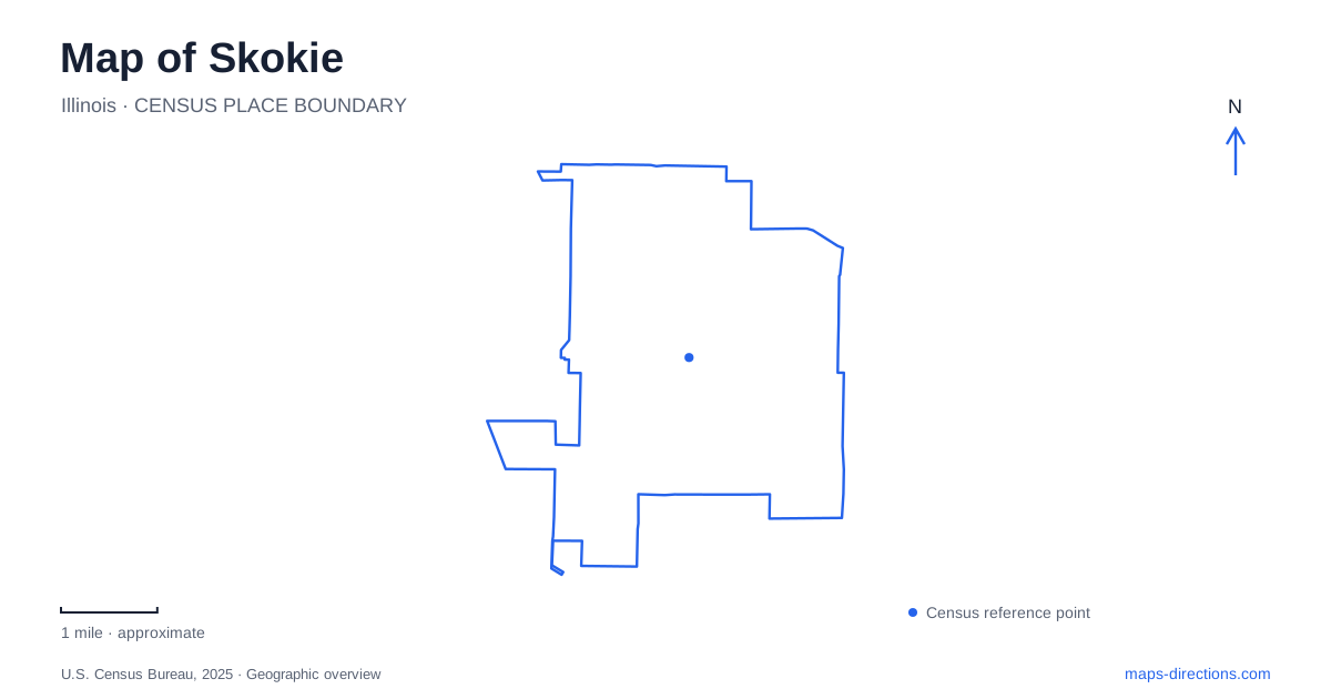
Street tiles load from OpenStreetMap when opened. The blue line shows the 2025 Census boundary.
- State
- Illinois
- Population · July 2025
- 66,544
- Land area
- 10.1 sq mi
- Water area
- 0.0 sq mi
Skokie is organized by several recognizable corridors rather than one visitor district. Oakton Street connects civic and downtown destinations, Dempster Street identifies the northern Yellow Line terminus, and McCormick Boulevard follows a long channel-side art landscape. Floral Avenue and Brummel Street lead to smaller places where local history and urban nature become the focus. Together these references make the village easier to understand beyond the Edens Expressway.
Two Yellow Line stations with different settings
The CTA Yellow Line runs between the Dempster Street terminal and Howard, with an intermediate stop at Oakton Street. Howard provides connections to the Red and Purple lines. That sequence is important: the Yellow Line is a short connecting service, and a rail trip farther into Chicago involves understanding the next line as well as the first boarding point.
The village's transportation guidance distinguishes station access. Dempster has vehicle parking on both sides of the street, while the Oakton station has bicycle racks but no dedicated vehicle parking. The latter opened in April 2012, adding a rail stop for downtown and the Illinois Science and Technology Park. This gives the two stations different relationships to their surroundings even though both serve the same line.
The village uses “Swift District” for a development corridor near the Oakton station, north of Oakton Street. Its planning emphasizes mixed-use buildings and proximity to transit. Individual projects have different development stages, so the district name describes an evolving area rather than a completed, uniform complex.
Civic history on Floral Avenue
Skokie Heritage Museum occupies a historic firehouse at 8031 Floral Avenue. Built in 1887, the structure was the village's first public building and served several roles, including firehouse, jail, recreation center and village hall. Those successive uses show how early public functions could be concentrated in one building before a larger community required separate facilities.
The museum property also includes the Meyer Family Log Cabin and a community garden. Nicholas and Elizabeth Meyer built the cabin around 1847 near what is now Gross Point Road and Lincoln Avenue. It was moved to the museum site and renovated in 1982. The distinction between its original and present locations is an important piece of map interpretation: a preserved historic building can tell a local story without standing on its first parcel.
Cabin access is arranged separately and depends on staffing and weather. The surrounding museum collection and the house itself therefore offer related but distinct encounters with local history. Floral Avenue brings those resources together in a compact setting.
Woodland and pond at Emily Oaks
Emily Oaks Nature Center, at 4650 Brummel Street, preserves thirteen acres of woodland with mature oaks, native plants and a two-acre pond. Wood-chip and asphalt trails cross the site, and the indoor facility adds nature programs and the Woodland Wander Inn interactive exhibit. The pond, trees and trail surfaces create a much smaller and more enclosed outdoor experience than a long regional path.
In Skokie, this is a place to examine nature within an urban setting. The park district identifies animals including painted turtles, herons and flying squirrels among its resident or visiting wildlife, without implying that any particular species will appear on demand. A walk can focus on the pond edge, woodland vegetation or seasonal changes, with the visitor facility supporting a closer understanding of the habitat.
Sculpture along the channel
Skokie Northshore Sculpture Park extends approximately two miles between Dempster Street and Touhy Avenue, beside McCormick Boulevard and the river's north channel. Its origins lie in a collaboration among the village, the Metropolitan Water Reclamation District and a nonprofit sculpture organization. By 1988, landscaping, paths and public art were transforming previously neglected land.
This history explains the park's elongated shape. It occupies a utility and water corridor adapted for public recreation and art, rather than a square neighborhood park. Large contemporary sculptures are distributed along the route, so their sequence becomes part of a walk or ride. Choosing a section between cross streets can be more useful than searching for a single central attraction.
Museum geography during renovation
The Illinois Holocaust Museum and Education Center has its established campus at 9603 Woods Drive. That address should be distinguished from off-site exhibitions and temporary satellite venues in Chicago. Consult the museum's visitor information for the exhibition and admission location you intend to use; a saved notice about a satellite program does not establish the operating arrangements at the permanent campus.
Those addresses are in different municipalities and require different journeys. The institution remains part of Skokie's cultural identity, but its current visitor arrangements cannot be inferred from the permanent campus marker. That is a particularly clear example of why a useful local map combines stable geography with the operating information of the destination being visited.
Map and statistics: U.S. Census Bureau, 2025 Gazetteer, January 2025 generalized place boundaries and Vintage 2025 population estimates. Local references: Chicago Transit Authority; Village of Skokie; Skokie Park District; Skokie Northshore Sculpture Park; Illinois Holocaust Museum and Education Center. Article prepared by Maps & Directions.