Map of Sioux Falls
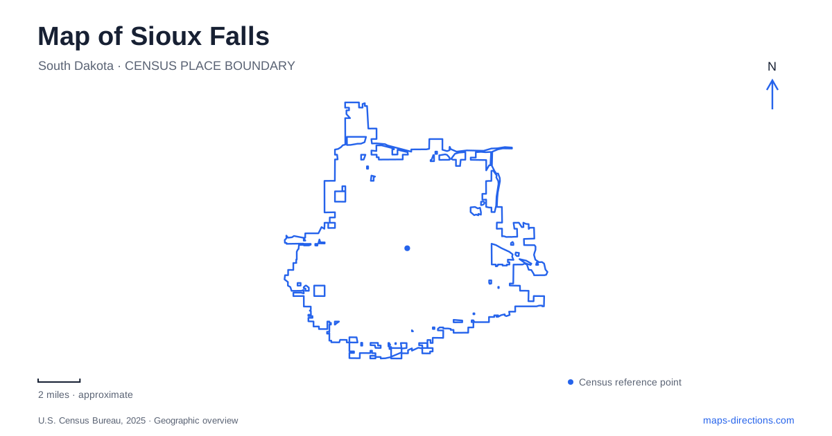
Street tiles load from OpenStreetMap when opened. The blue line shows the 2025 Census boundary.
- State
- South Dakota
- Population · July 2025
- 213,748
- Land area
- 84.5 sq mi
- Water area
- 0.5 sq mi
Sioux Falls takes its physical identity from the Big Sioux River spilling across hard pink quartzite. The waterfalls are more than a scenic namesake: they attracted settlement, encouraged industrial plans and remain the organizing feature of a major public park. The river's looping route also supports an extensive recreation network. Downtown buildings and museums add another visible layer, connecting local stone, civic ambition and the people who shaped the early city.
Rock, water and industrial ambition
The city's historical account explains that glacial meltwater redirected the river and exposed the quartzite bedrock. The resistant stone helps create the stepped cascades seen at Falls Park. The falls therefore belong to a much older geological landscape than the surrounding buildings, even though the city has repeatedly changed how people use and approach them.
Waterpower was one attraction for nineteenth-century developers. The Queen Bee Mill, constructed between 1879 and 1881, represents that industrial ambition. Its surviving ruins make the scale of the enterprise visible beside the river. The mill should be read as evidence of an attempt to harness the falls for production, not as a decorative structure added to the park.
Another former industrial building now houses the Falls Overlook Café. The visitor bureau identifies it as a historic hydroelectric plant, adding electricity generation to the site's history of water use. Together, the exposed rock, mill remains and reused power building make Falls Park a compact place to understand how Sioux Falls developed around a natural feature with economic potential.
The park and the quarry are different places
Falls Park includes viewing areas, a pedestrian bridge and an observation tower, allowing the cascades to be seen from several positions. Its layout also contains the Stockyards Ag Experience, housed in a former horse barn. That institution interprets agriculture and the former stockyards, extending the park's historical story beyond flour milling and electricity.
Across North Weber Avenue, east of the park, lies a former quarry site. Redevelopment planning for the quarry is part of the city's broader park vision. Proposed amenities there should not be confused with facilities already operating around the falls. The quarry's significance is nonetheless tangible: local stone production helped supply important buildings, linking the raw landscape beside the river with the architecture downtown.
A river route through the wider city
The Greenway Recreation Main Trail Loop measures 19.13 miles, following the Big Sioux River through varied parts of Sioux Falls. Eleven principal park access points connect users with the loop. Its route includes downtown scenery, other parks, open fields and wooded areas, making it a geographic cross-section of the city rather than a path confined to one attraction.
Additional branches extend the network. The Cherry Creek corridor follows Skunk Creek toward Family Park, while the Sertoma spur connects with the Outdoor Campus area. These tributary and branch routes explain why a city trail map includes more than the river loop alone. The waterways provide a framework for routes reaching neighborhoods away from the central falls.
A one-mile extension completed in May 2026 runs from Lien Park on North Cliff Avenue to Bahnson Avenue, north of East Rice Street. It follows the river's north side and includes an elevated boardwalk. This connection makes the northeastern trail landscape more extensive than shown on older printed maps, while maintaining the river as the principal orientation line.
Stone civic architecture and a senator's home
The Old Courthouse Museum occupies a Richardsonian Romanesque building constructed from native pink quartzite. Its clock tower and substantial masonry provide a built counterpart to the stone exposed at the falls. The structure served as the county courthouse from 1890 until 1962, and its interior includes murals dating from the 1910s. Its change to museum use preserved a major civic landmark while giving it a broader interpretive purpose.
Pettigrew Home and Museum offers a more domestic perspective on Sioux Falls. The Queen Anne house dates to 1889, and Richard F. Pettigrew purchased it in 1911. He arranged for it to pass to the city after his death in 1926. At 131 North Duluth Avenue, the house and attached museum combine preserved rooms with collections connected to the region's natural and cultural history.
These two museums complement the river landscape without repeating its story. The courthouse shows how quarried stone and public investment created a civic center; the house reveals an individual residence and collecting history. Read together with the falls, industrial remains and greenway, they give Sioux Falls a geography in which geology, work, public life and recreation remain visibly connected.
Map and statistics: U.S. Census Bureau, 2025 Gazetteer, January 2025 generalized place boundaries and Vintage 2025 population estimates. Local references: City of Sioux Falls; National Park Service; Experience Sioux Falls. Article prepared by Maps & Directions.