Map of Sioux City
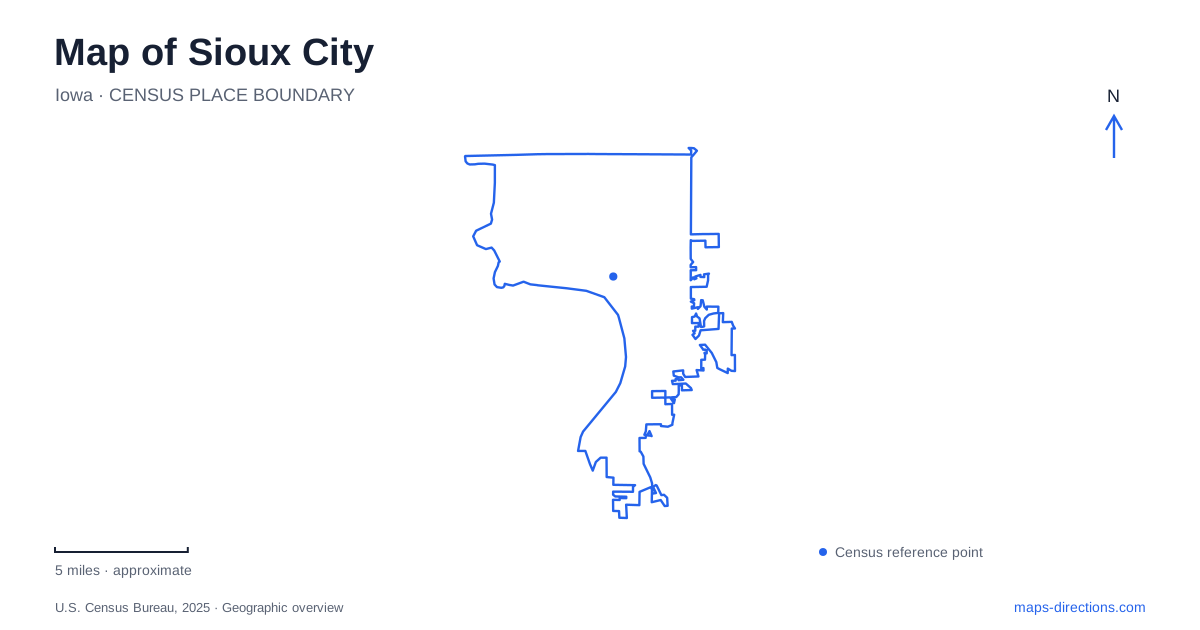
Street tiles load from OpenStreetMap when opened. The blue line shows the 2025 Census boundary.
- State
- Iowa
- Population · July 2025
- 86,356
- Land area
- 59.4 sq mi
- Water area
- 1.2 sq mi
Sioux City has several river-related destinations whose similar names can obscure their different locations. The Missouri riverfront, the Floyd River trail, the Sergeant Floyd monument and the river museum are not interchangeable map results. Downtown adds another set of destinations organized by numbered streets and historic districts. A useful overview starts by separating those places, then reconnecting them through their actual street addresses, river corridors and entrances. This approach is particularly helpful when planning a visit with both museum stops and outdoor time.
Two Floyd destinations, two different settings
The Sergeant Floyd River Museum and Welcome Center is listed at 1000 Larsen Park Road. The Sergeant Floyd Monument, by contrast, is identified by the National Park Service along US 75 in a park overlooking the Missouri River valley. A search for “Floyd” alone can therefore produce a plausible but unintended answer. One destination is a museum and welcome center; the other is a memorial in an elevated landscape setting.
When organizing a Sioux City outing around the Lewis and Clark story, save the full attraction names rather than shortening both to the same label. The distinction affects more than the final turn. It changes whether the next part of the visit concerns a building, a riverfront setting or the monument grounds. Check each destination individually before arranging them into an itinerary, and avoid using a museum's mailing address as a substitute for the monument location.
Understand the redeveloped riverfront
Chris Larsen Park's riverfront recreation area occupies the former Argosy Casino site along the Missouri River. The city describes a collection of gathering spaces, shelters, basketball courts, play equipment, fitness stations and separate dog areas. Those facilities explain why the riverfront is best treated as a group of destinations rather than a single marker at the water's edge.
The municipal description identifies access from Interstate 29 and downtown. That is a useful broad relationship, but it is not a complete arrival instruction for every facility in the park. Choose the particular activity area first, then locate its appropriate approach. A family meeting at a shelter needs a more specific reference than a visitor simply hoping to walk beside the river. Sharing the shelter or facility name helps both parties use the same part of the waterfront.
Place the public museum in the street grid
The public museum is at 607 Fourth Street. Its research center uses an entrance on Jackson Street between Fourth and Fifth Streets. These details reveal an important difference between finding a building and finding the entrance relevant to a visit. A general museum pin may correctly identify the block without identifying the doorway needed for research.
For downtown Sioux City, numbered streets and named cross streets provide a practical way to resolve that final block. Write down both when an appointment has a specific entrance. The museum organization also lists Peirce Mansion at 2901 Jackson Street, a separate physical destination despite the shared institutional connection. Do not assume that attractions operated by the same organization occupy the same site or that a mailing address is always the public arrival location.
Give the Pearl District a boundary
The city describes the Historic Pearl District as roughly bounded by Seventh Street on the north, Pearl and Douglas streets on the east, Perry Creek on the west and the railroad right-of-way on the south. These edges make the district easier to interpret than a decorative label floating somewhere over downtown. They also show why the creek and railroad deserve attention alongside the road grid.
A district boundary is an orientation aid, not a promise of an entrance at every edge. For a Sioux City destination described as being in the Pearl District, retain the establishment's actual address. The district name tells you the broad context, while the street address identifies the individual stop. This is especially useful when comparing a downtown hotel, a cultural attraction and a restaurant whose promotional descriptions use different neighborhood language.
Distinguish the trail names
The municipal trail inventory separates Riverfront, Floyd River, Perry Creek and Big Sioux River trails, as well as park routes such as Bacon Creek. Their names encode different corridors. A trail shown beside one waterway should not automatically be treated as the continuation of a route named for another, even if the wider system contains connections.
For an outdoor route, identify the desired corridor and then inspect its access points and connections. For a driving trip, use the adjacent road network instead of following the trail line. Keeping those layers distinct is more informative than assuming every linear feature offers the same kind of movement. The larger lesson for reading Sioux City is to preserve complete names: the particular river, museum, district or entrance often supplies exactly the detail that prevents a mistaken destination.
Map and statistics: U.S. Census Bureau, 2025 Gazetteer, January 2025 generalized place boundaries and Vintage 2025 population estimates. Local references: Sioux City Public Museum; National Park Service; City of Sioux City. Article prepared by Maps & Directions.