Map of Simi Valley
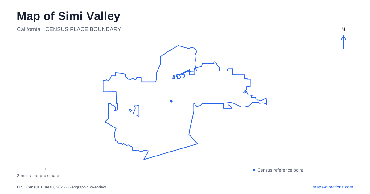
Street tiles load from OpenStreetMap when opened. The blue line shows the 2025 Census boundary.
- State
- California
- Population · July 2025
- 124,861
- Land area
- 41.5 sq mi
- Water area
- 0.7 sq mi
Simi Valley has a useful set of geographic contrasts: a hilltop presidential library, an eastern railroad landmark, former movie-ranch terrain, and a drainage corridor running through the developed valley. Madera Road, Katherine Road, Smith Road, and the Arroyo Simi each explain a different part of that arrangement. The map becomes more informative when these features are treated as places with their own approach routes and histories, rather than as a short list of attractions under one city label.
Madera Road and the library hill
The Ronald Reagan Presidential Library and Museum is at 40 Presidential Drive. Its official visitor instructions make an unusually specific distinction: Presidential Drive is accessible from Madera Road, and Tierra Rejada Road does not lead to the library. This is a documented local routing issue, not a general warning about navigation devices. Keeping Madera Road in the route is essential to understanding the actual approach.
The hilltop setting can be misleading on a broad map because nearby roads may appear to reach the same landform. The library's own directions establish the usable relationship between the public road and Presidential Drive. A trip should therefore be built around that connection rather than the shortest-looking line toward the building marker.
For a map of Simi Valley, the library provides a distinctive destination on raised ground, separate from the valley's eastern historical sites. Presidential Drive is the final approach, while Madera Road is the larger street reference. This two-part description is more useful than treating the museum as if it were a storefront directly on a through-road.
Santa Susana Depot and the railroad corridor
Santa Susana Depot is at 6503 Katherine Road, where the old Santa Susana Pass Road meets Kuehner Drive. The depot organization identifies this as the eastern part of the city. The building stands alongside the rail line, but its present position is the result of preservation: it was moved to Santa Susana Park in 1975 after the railroad no longer needed it.
That relocation is important when reading historical maps or accounts. The museum's current address and the depot's original operational setting are not necessarily the same point. Its history remains tied to the rail route through the mountains, including the tunnels connecting the Simi and San Fernando valleys, and to agricultural shipments that once relied on the station.
The depot adds a railroad scale to the Simi Valley map. The line linked farms and passengers to destinations beyond the valley, while the preserved building now helps interpret that relationship locally. Katherine Road locates the museum visit; the railway and mountain passages explain why a depot was needed in this area in the first place.
Corriganville's trails and former film settings
Corriganville Park is on Smith Road in the eastern part of the valley. The park district's trail guide identifies an interpretive trail, a loop trail, and connections toward the surrounding terrain. It also labels the former “Silvertown” western movie-set area and the Jungle Jim pond, showing how film history is embedded in the landscape.
The guide describes a route along the north side of the Arroyo Simi near the pond and an old dam. These are useful physical references for understanding the former production setting. Rather than expecting a conventional indoor film museum, a visitor is looking at outdoor terrain whose features once served as settings and infrastructure for filming.
Corriganville therefore gives Simi Valley a historical landscape that differs from the depot building and the presidential library. Interpretation occurs through paths, landforms, and surviving site features. The trail map is the useful close-scale document here because it relates the names of former film locations to the actual ground.
The Arroyo as a valley-wide organizing line
The Arroyo Simi Greenway planning area follows the watercourse and adjoining watershed right-of-way for most of the city's length, from the western city limit toward Corriganville in the east. The municipal plan treats this corridor as a recreation resource with links to parks, schools, and neighborhoods. Its broad geographic role is clear even though individual improvements have been delivered in phases.
Madera Road, First Street, Sycamore Drive, and Darrah Volunteer Park appear as specific reference points in the city's greenway material. These names help translate the long corridor into recognizable sections. They also show how an east–west landscape feature intersects the local street network rather than replacing it.
It is important to distinguish a planning corridor from a claim that every proposed path or crossing is already complete. The city describes the greenway as a multi-phase, multi-year project. Its value for understanding Simi Valley is the continuity of the arroyo's geography: the same watercourse links discussions of neighborhood recreation, valley crossings, and the eastern movie-ranch landscape. Alongside the library's hill approach and the railroad depot's history, that corridor gives the city map a structure grounded in actual terrain and transport routes.
Map and statistics: U.S. Census Bureau, 2025 Gazetteer, January 2025 generalized place boundaries and Vintage 2025 population estimates. Local references: Ronald Reagan Presidential Library; Santa Susana Depot; Rancho Simi Recreation and Park District; City of Simi Valley. Article prepared by Maps & Directions.