Map of Sherman
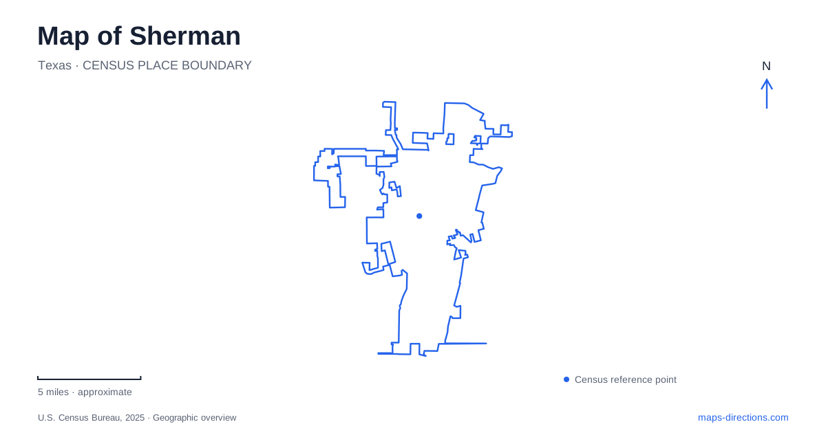
Street tiles load from OpenStreetMap when opened. The blue line shows the 2025 Census boundary.
- State
- Texas
- Population · July 2025
- 52,417
- Land area
- 46.4 sq mi
- Water area
- 0.1 sq mi
Sherman has a historic center organized around the Grayson County courthouse, an educational district associated with Austin College, and parkland that follows a different pattern on the west side. These places give a local map more structure than the regional highway approaches alone. Start with the courthouse square for downtown history, North Grand Avenue for the college, and West Center Street for the landscape around Pickens Lake. Each provides a clear reference for a different kind of visit.
The square and successive courthouses
The courthouse at 100 West Houston Street anchors the older downtown. Grayson County's historical marker describes a succession of courthouse buildings, from early wooden structures to the present limestone building completed in 1936. The square is therefore a long-established civic location, even though its central building is younger than some visitors might assume.
The history of the replacement is significant. A white lynch mob burned the earlier courthouse in 1930 while seeking a Black man who had been placed inside for protection. Remembering that violence is part of understanding the site, rather than treating the present building only as a picturesque county-seat landmark. The six-year interval before the new courthouse also reflects the difficult economic circumstances of the Depression.
Around the square, the street grid provides the framework for shops, restaurants, and public offices. Travis, Houston, and nearby cross streets are more useful references for a downtown meeting than the city name alone. The county courthouse and other government buildings have separate functions, so an appointment should be tied to the named office and its address rather than merely to the civic center of the map.
Walnut Street and the local museum
The Sherman Museum is at 301 South Walnut Street. Its position makes it a separate downtown stop rather than part of the courthouse itself. The museum's visitor information identifies Lamar Street as an approach from US 75, which helps connect the regional road network with the smaller downtown grid.
There is also a practical building detail worth retaining: the ground-floor entrance at the rear provides elevator access. This allows a visitor to plan for the building's actual arrangement rather than relying only on the street-facing view. A downtown history outing can combine the museum with the square, leaving time to examine the streets between them as part of the older commercial district.
Austin College on North Grand Avenue
Austin College's main address is 900 North Grand Avenue. The institution moved from Huntsville in 1876, establishing a lasting educational presence in the city. Its name can be misleading to someone searching quickly: the campus is here in North Texas, not in the state capital. Keeping the institution's full street address in a route plan resolves that ambiguity.
Sherman Hall, at 916 North Grand Avenue, illustrates the connection between college and community. Local residents contributed funds for its construction, which began in 1914. The building originally contained administrative offices, an auditorium, and a library; its later use shifted toward humanities departments. On a campus walk, that history gives one building a role beyond being another academic label.
The college's own timeline records the closure of portions of College Street to vehicle traffic during the twentieth century, creating pedestrian campus spaces. This explains why a street name on an older map may not describe a present driving route across the grounds. The campus should be read as an arrangement of buildings and pedestrian spaces, with the chosen visitor destination determining the appropriate approach.
Pickens Lake and the western park landscape
Herman Baker Park is at 2500 West Center Street, off Highway 56 in western Sherman. The park opened in 1979, while its central feature, Pickens Lake, was completed in 1975 as a flood-control reservoir. Its shoreline and natural-surface trail system offer a different setting from the paved downtown and campus walks.
The lake's original purpose adds meaning to the landscape. The dam and water basin are infrastructure as well as scenery, and the recreation grounds developed around them. A walk here can focus on the shoreline, vegetation, and changing views across the reservoir. It is a distinct outing from touring civic buildings, even though both remain within the same city.
Reading the city through its institutions
A map of Sherman becomes more informative when the courthouse, museum, college, and reservoir park are considered together. Government shaped the square, education shaped North Grand Avenue, and water management helped create the western recreation landscape. Choosing a route around those relationships produces a visit grounded in the city's actual development, with each destination contributing a different part of the story.
Map and statistics: U.S. Census Bureau, 2025 Gazetteer, January 2025 generalized place boundaries and Vintage 2025 population estimates. Local references: Grayson County; City of Sherman; The Sherman Museum; Austin College; Sherman Parks and Recreation. Article prepared by Maps & Directions.