Map of Shawnee
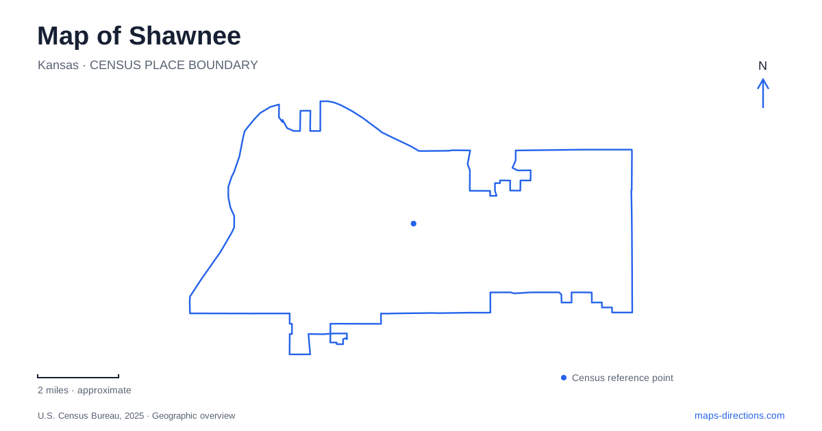
Street tiles load from OpenStreetMap when opened. The blue line shows the 2025 Census boundary.
- State
- Kansas
- Population · July 2025
- 69,848
- Land area
- 42.0 sq mi
- Water area
- 0.9 sq mi
Shawnee has two especially useful stories to follow on a map: a small agricultural center that supplied Kansas City and a landscape of large parks and stream corridors. The historical downtown rewards attention to individual blocks, while the western recreation areas operate at the scale of lakes, watersheds, and regional trails. Keeping those scales together makes the city more intelligible than treating every green area as an interchangeable suburban park.
A farming town behind the modern streets
The municipal downtown walking tour describes a settlement platted in 1856 and incorporated in 1860. Its early role as Johnson County's first county seat helps explain why the public square mattered when the town company sold lots in 1859. Parcels facing that square commanded the strongest prices. The center was therefore organized around civic visibility and commercial frontage long before contemporary metropolitan commuting shaped the surrounding area.
Fruit and vegetable growing subsequently tied the community to markets in Kansas City, Missouri. Produce first traveled by wagon and later by truck; farming remained an important local identity into the 1950s. That history gives the word “truck” in truck farming its agricultural context, rather than suggesting that the museum is principally a collection of transport vehicles. The city's historical walking itinerary covers about 1.1 miles, a scale suited to reading older buildings and streets as a connected district.
A museum organized around 1929
Shawnee Town 1929 stands at 11501 West 57th Street. Its name identifies a particular historical period, and the municipal visitor information distinguishes original structures from recreated ones. A historical-looking building on the grounds therefore should not automatically be interpreted as having survived in its original location. The museum is an interpreted environment, whereas the downtown walking route examines the surrounding townscape.
That distinction can enrich a visit: one setting presents daily life deliberately, while the other asks the visitor to look for historical layers within an operating community. The museum's seasonal visitor program runs from March through October. Someone organizing a winter history outing should consequently separate an outdoor downtown exploration from expectations of regular museum admission. Shawnee's farming history offers a coherent theme for both places without requiring them to be treated as the same attraction.
Renner Road and the large lake landscape
At 7900 Renner Road, Shawnee Mission Park introduces a much larger geographical unit. The county park encompasses 1,756 acres, including a 120-acre lake. Its land was acquired through the district's first bond issue in 1956, and the park was dedicated in 1964. This is a substantial piece of planned public landscape, with room for different recreation settings around the water and wooded ground.
John Barkley Plaza marks the eastern entrance and commemorates the park district's first superintendent. Other destinations include a marina, beach, dog exercise area, disc golf courses, and Theatre in the Park. A map of this property is most useful when it displays those facilities separately: the lake is the organizing feature, but visitors gather at several different shoreside or inland places. Trail maps also distinguish mountain biking and hiking areas from equestrian routes. Those distinctions explain why a large green polygon contains several overlapping recreational geographies.
A north–south stream corridor
Mill Creek Streamway Park follows a different pattern. Its roughly 17 miles of pedestrian and bicycle trails form a linear corridor from Nelson Island on the Kansas River, through this community and Lenexa, toward Olathe. The Gary L. Haller Trail received National Recreation Trail designation in 2010. This is a regional connection shaped by a stream valley, rather than a loop around one municipal neighborhood.
Local access locations include 19425 Wilder Drive, 5946 Barker Road, and 19405 Midland Drive west of Interstate 435. These distributed gateways allow the corridor to serve quite different starting points. For a journey extending toward the southern Northgate trailhead in Olathe, check access to that segment separately from these local entrances rather than treating the whole regional line as an uninterrupted itinerary.
Finding the tributary before the river
The Wilder Drive water access illustrates a final useful detail. Friends of the Kaw places the canoe and kayak stairway on Mill Creek, approximately a mile upstream of the Kansas River. The river access label thus describes a route toward the larger river, not a launch directly on its bank. Holiday Drive connects from Interstate 435 and becomes Wilder Road on the approach.
This tributary setting, the broad lake park, and the compact historical center reveal three distinct scales within Shawnee. Reading them together brings the map's waterways, public landscapes, and older town blocks into a single local picture.
Map and statistics: U.S. Census Bureau, 2025 Gazetteer, January 2025 generalized place boundaries and Vintage 2025 population estimates. Local references: City of Shawnee; Johnson County Park and Recreation District; Friends of the Kaw. Article prepared by Maps & Directions.