Map of Shakopee
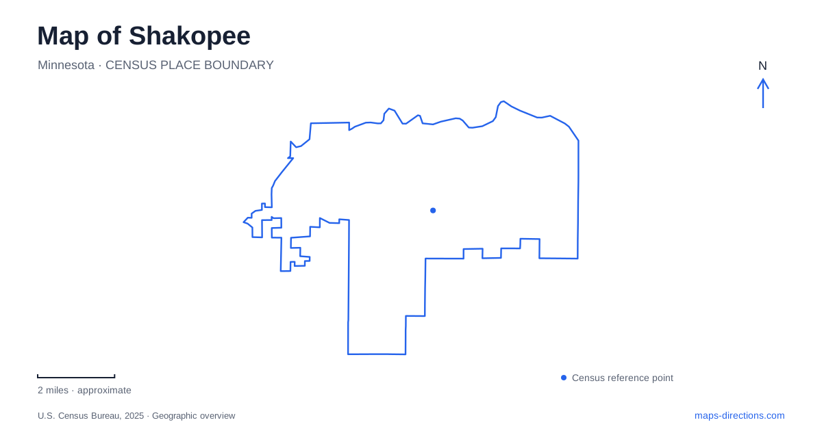
Street tiles load from OpenStreetMap when opened. The blue line shows the 2025 Census boundary.
- State
- Minnesota
- Population · July 2025
- 49,366
- Land area
- 29.5 sq mi
- Water area
- 1.3 sq mi
Shakopee's riverfront contains several kinds of history within a relatively short corridor: Dakota places, an old highway bridge, downtown parkland and a reconstructed nineteenth-century village landscape. The Minnesota River is the connecting feature, but each site interprets it differently. Away from the water, major entertainment properties and a tribal cultural center create separate destinations that require their own addresses. A useful map keeps the river corridor prominent without reducing the whole city to its downtown shoreline.
The Holmes Street crossing
The Holmes Street Bridge was completed in 1927 as a highway crossing. Its deck-truss construction places much of the supporting steel below the road surface, while architectural details on the piers and approaches reflected its role as an entrance to downtown. A bridge here was both infrastructure and a civic gateway, bringing travelers across the river toward the town's streets.
Rehabilitation in 2011 converted the historic structure for recreational trail use. It is now a pedestrian crossing rather than an ordinary road for cars. This change is central to reading Shakopee's map: the presence of a substantial bridge at the end of a street does not make it a driving route. Its continuing value lies in carrying people through the river landscape at a slower scale and preserving an earlier transportation structure.
Huber Park and a changing bank
Huber Park occupies the downtown riverfront and connects with the Minnesota Valley State Trail. It was called Recreation Park before its 1962 renaming for Edward J. Huber, who supported tree planting and park improvements. The amphitheater and shelters make it an event setting as well as a place to pause along the trail corridor.
The riverbank's stabilization plans address erosion, a parallel sanitary sewer and ecological restoration. These are overlapping uses of the same edge: recreation takes place beside infrastructure and habitat that require management. Plans for grading, marina facilities or landscape improvements document intended changes rather than the availability of every proposed amenity. Use the city's riverfront information for practical access while reading project drawings as evidence of how the shoreline is managed.
For a walk through Shakopee, the relationship between river, trail and construction area is more useful than an old photograph of the park. The river continues to explain the route, while temporary work boundaries determine where that route can presently be used.
Memorial Park and Dakota history
Memorial Park's prairie restoration adds another layer to the riverside corridor. Twenty acres were planted with native vegetation in 2025; prairie establishment and maintenance involve multiple growing seasons. The project aims to provide habitat and reduce erosion, using the rooted landscape to hold and filter water before it reaches the river.
Archaeological study also identified the area as a Dakota burial ground. Visitors are asked to remain in areas designated for foot traffic and respect the restoration. Planning material has also considered a nature-oriented playground near Mill Pond, which should be distinguished from the site's established historic and ecological features. Understanding these distinctions keeps a recreation map from obscuring the site's cultural importance or suggesting access across sensitive ground.
The Landing's riverbank timeline
The Landing occupies 2187 Highway 101 East, on the Minnesota River beyond the downtown park setting. Its historical buildings are arranged to represent changes from the preterritorial period through the late nineteenth century. Farmsteads, village buildings and interpretation make the site a spatial timeline, giving visitors a way to compare forms of settlement rather than simply view one preserved house.
The grounds and trails are available for self-guided exploration, but ordinary grounds access does not include the interiors of historic buildings. Three Rivers Park District directs visitors to the main western entrance. The riverside turf trail and the paved village route offer different surfaces and perspectives: one follows the water, while the other brings the building arrangement into focus. The older name Murphy's Landing may still appear in historical descriptions of Shakopee, but the current park name is The Landing.
Cultural learning and separate event properties
Hoċokata Ṫi, at 2300 Tiwahe Circle, provides a public exhibition titled Mdewakanton: Dwellers of the Spirit Lake. The tribal cultural center presents Dakota history and contemporary community life through artifacts, interpretation and audiovisual material. Its story includes life before European settlement, treaties, the boarding-school era and the community today. This is a separate cultural institution, not another building inside the riverfront historical park.
Canterbury Park, at 1100 Canterbury Road, belongs to a different activity district. The racing venue opened as Canterbury Downs in 1985 and later took its current name. Valleyfair opened in 1976, adding another major entertainment destination to the area. Their large sites should be approached according to the particular venue and event rather than through the downtown park address.
Together, these destinations reveal Shakopee through river crossings, living cultural interpretation, restored habitat and later entertainment development. Keeping those different settings visible produces a more accurate understanding than treating every attraction as part of one continuous riverwalk.
Map and statistics: U.S. Census Bureau, 2025 Gazetteer, January 2025 generalized place boundaries and Vintage 2025 population estimates. Local references: Minnesota Department of Transportation; City of Shakopee; Three Rivers Park District; Hoċokata Ṫi; Canterbury Park. Article prepared by Maps & Directions.