Map of Seguin
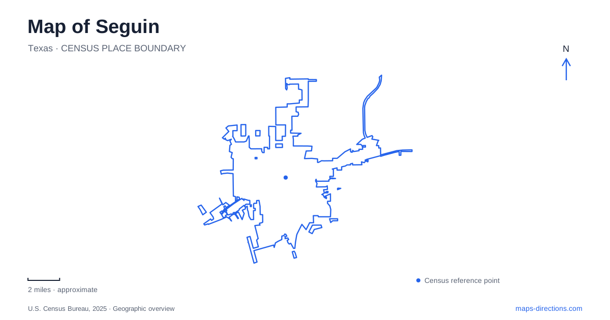
Street tiles load from OpenStreetMap when opened. The blue line shows the 2025 Census boundary.
- State
- Texas
- Population · July 2025
- 41,048
- Land area
- 40.0 sq mi
- Water area
- 0.2 sq mi
Seguin's map brings together a compact historic center, a small downtown stream, and a much larger recreation landscape on the Guadalupe River. Those waterways operate at different scales, while the streets between them hold buildings that record distinctive local construction methods. Central Park, Walnut Springs Park, Sebastopol House, and Max Starcke Park provide useful reference points for exploring those connections.
Downtown around Austin Street
Central Park sits at 201 South Austin Street in the historic downtown area. Its bandstand, art deco fountain, lawns, and mature pecan and oak trees create a recognizable civic gathering space. The setting supports a different kind of visit from the broad riverfront parkland: here, architecture, public art, and commercial streets are closely grouped.
The downtown plan identifies a stagecoach mural at 114 South Austin Street and a ranger mural at 301 North Austin Street. It also records the large pecan statue at the Guadalupe County Courthouse. These landmarks make Austin Street useful for more than through travel. A short sequence of addresses reveals several of the images through which the community presents its history.
For a map of Seguin, the square is therefore a strong starting point. It places public space beside the older street network and gives nearby historic addresses a common reference. The courthouse pecan, murals, and bandstand have distinct locations, even though they belong to the same downtown experience.
Walnut Branch and the trail connection
Walnut Springs Park is at 317 West Court Street. Its paths and bridges follow Walnut Branch, a small tributary of the Guadalupe River. The scale is intimate: the park brings a streamside landscape into the downtown area rather than requiring a separate trip to a large riverside preserve.
The 2020 parks plan places the library south of the park, with county buildings and parking to its north and east. That arrangement is important to the site's identity. The stream corridor sits among civic and public-service destinations, making the green space part of the everyday center rather than an isolated recreation tract.
The Walnut Springs Trail extends the relationship beyond this one park. When its extension opened in June 2023, the city identified pedestrian access to destinations including Park West, the public library, Texas Lutheran University, and Max Starcke Park on the Guadalupe. The route links several kinds of places, so it is useful to view the creekside park as one part of a broader walking network.
The local story told by limecrete
Sebastopol House, at 704 Zorn Street, explains why Seguin acquired the nickname Concrete City. Built in the mid-1850s, the Greek Revival residence is a surviving example of early concrete construction using limestone. The material, often described as limecrete, gives the house significance beyond its style or age.
The museum interprets the techniques used by the enslaved craftspeople who built it. That labor history belongs alongside the architectural story: the building's unusual construction was carried out by people whose skill should not be hidden behind an account focused only on its owners or appearance. Exhibits also include pottery associated with the Wilson Pottery Foundation.
The Texas Historical Commission identifies the property as a former residence now operated as a museum by the city. It is thus a place to study a particular building and its materials, rather than a general collection of relocated structures. Its Zorn Street location adds another historical destination beyond the central square.
An orchard transformed beside the Guadalupe
Max Starcke Park supplies the largest landscape in this group of Seguin destinations. The municipal inventory describes 227 acres along the Guadalupe River and notes that the property was a pecan orchard before the park's dedication in 1938. The present tree-filled recreation setting therefore follows an earlier productive use of the land.
The park has distinct eastern and western areas. The city's facility listings place the amphitheater and Patricia K. Irvine-King Pavilion on River Drive East, while the golf course, tennis and pickleball courts, and Bowl Pavilion have River Drive West addresses. The eastern area also includes the children's playscape and Little League facilities.
These named sections help explain a park large enough to accommodate several different outings. A performance, a round of golf, a children's visit, and time beside the river take place within the same overall grounds but use different parts of the layout. The East and West designations are consequently useful geographical information, not merely administrative wording.
Together, these places give Seguin a clear set of connected themes: downtown gathering spaces, a tributary threaded through civic blocks, distinctive nineteenth-century building materials, and an orchard converted into riverfront recreation. Following those themes makes the local map a guide to how the city developed as well as where its destinations stand.
Map and statistics: U.S. Census Bureau, 2025 Gazetteer, January 2025 generalized place boundaries and Vintage 2025 population estimates. Local references: City of Seguin; Visit Seguin; Texas Historical Commission. Article prepared by Maps & Directions.