Map of Seattle
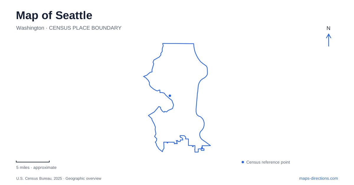
Street tiles load from OpenStreetMap when opened. The blue line shows the 2025 Census boundary.
- State
- Washington
- Population · July 2025
- 784,777
- Land area
- 84.0 sq mi
- Water area
- 58.0 sq mi
Seattle's geography is not adequately described by the word waterfront. Elliott Bay, the ship canal and the shoreline at West Point belong to different parts of the city, while hills shape the streets between them. Downtown's connection to Pike Place Market illustrates the vertical dimension especially clearly. A useful city map should therefore show both water relationships and the public routes that connect higher streets with lower shoreline spaces.
MarketFront links the slope to Elliott Bay
The city describes Overlook Walk as an elevated park connection between Pike Place Market, the aquarium's Ocean Pavilion and Waterfront Park. MarketFront connects directly into it. This makes the change in elevation part of a public-space experience rather than leaving visitors to infer a route between two nearby symbols on the map. The connection was designed to overcome the steep topography and avoid street crossings.
For Seattle's central waterfront, the market and the shoreline are thus connected but not at the same level. An itinerary can move from the market's activity toward the water through a designed sequence of overlooks and paths. The geographic point is useful even without visiting an attraction: downtown rises behind the bay, and the public connection makes that slope readable through the cityscape.
The promenade extends the waterfront southward
The waterfront project's promenade links the aquarium area with Pioneer Square and improves access to Colman Dock, the ferry terminal. At its northern end it meets Overlook Walk; at its southern end the Railroad Way pedestrian plaza relates it to the historic neighborhood. These named connections give the waterfront a north–south structure rather than one indistinct shoreline label.
Pioneer Square and Pike Place Market therefore occupy different positions along the same broader waterfront system. A ferry arrival at Colman Dock, a market visit and an aquarium visit can be understood in relation to one another, while remaining separate destinations. The promenade is the connecting public space. The streets and slopes leading inland determine how a walk leaves that corridor for the rest of downtown.
Capitol Hill adds parks to a neighborhood street network
East of downtown, Capitol Hill is identified by the visitor bureau as a center of LGBTQIA+ culture, dining and independent businesses. Its public-space geography includes Volunteer Park, which contains the Asian Art Museum and the glass conservatory. The park's paths and cultural buildings form a substantial destination within a neighborhood often associated primarily with nightlife.
On a Seattle map, this creates a useful contrast with the central waterfront. Capitol Hill's landmarks occupy a hill neighborhood inland from the bay, whereas Overlook Walk connects the downtown slope directly to the shore. Grouping the museum and conservatory with the surrounding park explains their setting better than treating each as an isolated icon. It also distinguishes a park-focused visit from an outing along the neighborhood's commercial streets.
Ballard is tied to the ship canal
The visitor bureau locates the Chittenden Locks, commonly called the Ballard Locks, at the western end of the Lake Washington Ship Canal. That position helps explain Ballard's relationship to the city's water network. The locks belong to a canal setting rather than the downtown Elliott Bay promenade. Their name and location identify a different kind of waterfront infrastructure and a different part of the urban map.
This is a useful place to zoom out: a close view of the locks describes the site, while a wider view reveals the canal extending into the city. Ballard's neighborhood identity and the canal's regional role overlap here. A water-oriented day can include both downtown and the locks, but it should acknowledge the movement between distinct shoreline systems instead of treating them as adjacent stops on one continuous promenade.
Magnolia's bluff and West Point form another landscape
Discovery Park occupies much of the former Fort Lawton property on Magnolia Bluff. The city's park history explains the transition from military land to public parkland during the twentieth century. West Point Lighthouse, built in 1881, supplies a shoreline landmark below that larger bluff landscape. The historic military site and the light station belong to related but different parts of the park's geography.
Seattle's park map gains meaning from that contrast between upland and point. A lighthouse symbol alone does not convey the extent of the park above it, just as a park boundary alone does not explain the shoreline focus at West Point. Reading the bluff, former fort and lighthouse together reveals why this area has a different character from the downtown promenade or Capitol Hill's neighborhood park.
The clearest Seattle overview keeps these settings distinct: Elliott Bay beneath downtown, the market-to-waterfront slope, Capitol Hill to the east, the canal at Ballard and the Magnolia bluff at Discovery Park. Water and elevation then explain the relationships among attractions, rather than leaving the itinerary to a series of apparently nearby pins.
Map and statistics: U.S. Census Bureau, 2025 Gazetteer, January 2025 generalized place boundaries and Vintage 2025 population estimates. Local references: City of Seattle; City of Seattle Waterfront Program; Visit Seattle; Seattle Parks and Recreation. Article prepared by Maps & Directions.