Map of Scranton
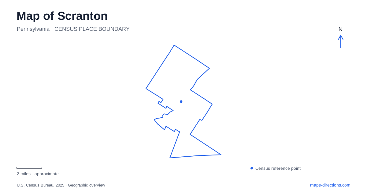
Street tiles load from OpenStreetMap when opened. The blue line shows the 2025 Census boundary.
- State
- Pennsylvania
- Population · July 2025
- 75,514
- Land area
- 25.3 sq mi
- Water area
- 0.2 sq mi
Scranton's map is shaped by a valley, a railway landscape, and hills that rise toward parks and residential neighborhoods. The Lackawanna River provides one continuous geographical reference, while Roaring Brook cuts a much more dramatic gorge at Nay Aug Park. These waterways support different experiences: a riverside route through the city and a park landscape of rocky slopes, overlooks, and waterfalls. The industrial landmarks add a third layer, preserving structures built for production and transportation rather than leisure.
A railway yard within the city
Steamtown National Historic Site occupies former Delaware, Lackawanna & Western railway yards. The roundhouse, turntable, locomotives, and maintenance spaces make the grounds legible as a working railway environment, even though their purpose now includes preservation and interpretation. The National Park Service emphasizes the people who built, repaired, and operated steam railroads, so the site is more than a collection of large engines displayed independently of their surroundings.
The physical visitor address is 350 Cliff Street, with the entrance at Cliff Street and Lackawanna Avenue. This is different from the park's South Washington Avenue mailing address. From the expressway, the published approach uses Mifflin Avenue and Lackawanna Avenue before turning into Cliff Street. For a map of central Scranton, that sequence connects the railway grounds to recognizable downtown streets. It also explains why locating the institution by an administrative address can lead away from the visitor approach.
Four furnaces and an industrial relocation
The iron-furnace remains at 159 Cedar Avenue preserve a different part of the production system. Four massive stone blast furnaces survive from the much larger works associated with the Lackawanna Iron and Coal Company and its successor industrial operations. Pig iron from the works fed rolling mills and foundries, including production of railway rails. The furnaces and Steamtown therefore complement one another: one site explains manufacture, while the other explains the machinery and infrastructure that moved materials and people.
The operating company dismantled its plant and relocated to Lackawanna, New York, in 1902 to be closer to high-grade ore arriving from the Mesabi Range. The surviving stone structures mark what remained after that shift. Their scale is useful evidence of the former industrial landscape, but the open historic park around them is not a complete representation of the plant at its busiest. Reading the ruins as fragments makes their place in Scranton's history clearer.
Following the Lackawanna through neighborhoods
The Lackawanna River Heritage Trail offers a way to trace the valley on foot or by bicycle. Its local access points connect the river corridor with different parts of the street network. The Broadway Street trailhead sits beside the South Side Sports Complex, between Third Avenue and South Washington Avenue. Olive Street access is a block east of Providence Road, with parking identified at 3 West Olive Street.
Farther along, the heritage authority identifies access at Green Ridge Street and Nay Aug Avenue, and at Depot Street in the Plot neighborhood. These names reveal how a linear trail serves several neighborhoods rather than functioning as one centrally located park. A short walk beginning at Olive Street and a longer journey through the valley share a corridor, but they need not share the same starting point or intended distance. The trail's value is precisely that it joins these local pieces along the river.
The Hill Section and Roaring Brook
Nay Aug Park occupies a different topographical setting in the Hill Section of Scranton. The city's park directory places it on Arthur Avenue, while its internal paths lead toward the gorge and waterfalls of Roaring Brook. The David Wenzel Treehouse, opened in 2007, provides an elevated view of this landscape. A pedestrian bridge connects parkland across the brook, emphasizing how the watercourse divides and shapes the grounds.
The Everhart Museum stands at 1901 Mulberry Street within the park. Opened in 1908, it grew from physician and naturalist Isaiah Everhart's collections, especially birds and other natural-history specimens. Its Beaux Arts origins relate to the City Beautiful movement, which treated public architecture and parks as ways to improve urban life. Art, science, and natural history remain the museum's combined focus.
This pairing gives the park an unusually broad identity. The gorge makes geology and water visible outdoors, while the museum presents collected objects and artworks inside a deliberately civic building. For a Scranton visit, the contrast with the railway yards and furnace remains is instructive: industrial structures explain the city's productive past, riverside paths connect its neighborhoods, and the hill park shows another longstanding ambition to make room for public learning and recreation.
Map and statistics: U.S. Census Bureau, 2025 Gazetteer, January 2025 generalized place boundaries and Vintage 2025 population estimates. Local references: National Park Service; Pennsylvania Historical and Museum Commission; Pennsylvania Anthracite Heritage Museum; Lackawanna Heritage Valley Authority; City of Scranton; Everhart Museum. Article prepared by Maps & Directions.