Map of Schenectady
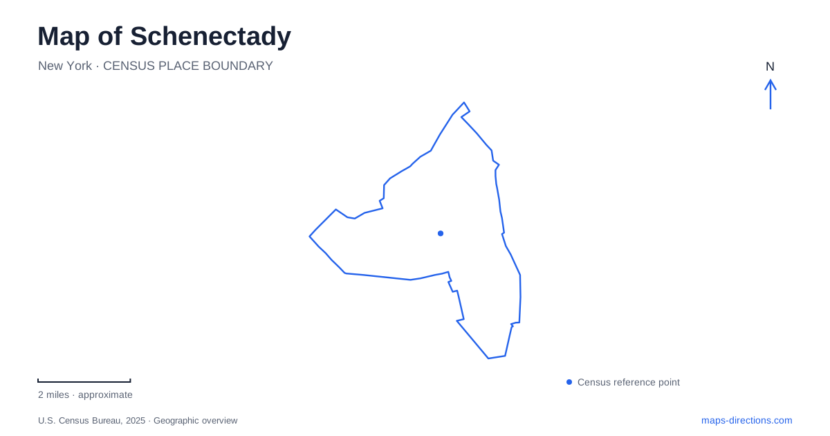
Street tiles load from OpenStreetMap when opened. The blue line shows the 2025 Census boundary.
- State
- New York
- Population · July 2025
- 69,471
- Land area
- 10.8 sq mi
- Water area
- 0.2 sq mi
Schenectady offers several distinct settings for understanding local history: the Stockade's residential streets, a downtown theater built during industrial prosperity, a planned college campus, and a carefully maintained municipal garden. The Mohawk Valley extends the story beyond the city to rural historical sites. Reading those places as separate but connected landscapes produces a more useful map than collecting every attraction beneath one downtown label.
Washington Avenue and the Stockade
The county historical society's museum and Grems-Doolittle Library occupy 32 Washington Avenue in the Stockade Historic District. This address provides a concrete starting point for exploring the neighborhood's history. The museum interprets local subjects through exhibitions, while the adjacent library supports research using historical records. Their roles complement the surviving buildings outside: the neighborhood supplies the physical setting, and the institution helps explain its accumulated stories.
The society's walking-tour materials describe Washington Avenue, Union Street, homes, churches, and former burial grounds as parts of a neighborhood that remains inhabited. That matters when considering a walk through the Stockade. Its historical character does not turn every residence or garden into a public museum property. Schenectady's older streets can be appreciated as a living district, with the museum serving as the specifically designated interpretive destination.
State Street and an industrial-era theater
Proctors stands at 432 State Street. Frederick Freeman Proctor commissioned the building after the city's industrial growth, associated with General Electric and the American Locomotive Company, helped create an audience for a larger entertainment venue. Construction began in 1925, and the theater opened in December 1926 with film and vaudeville programming. This places the building within the social geography of an expanding industrial city.
Architect Thomas Lamb combined Italian Baroque and Egyptian influences in the design. An arcade of shops and businesses extended from State Street through to Smith Street, making the building part of the commercial block as well as a performance hall. That through-block relationship is useful to notice on a detailed map. The theater's frontage belongs to a larger urban arrangement of retail, entertainment, and connecting pedestrian space rather than to a standalone auditorium set behind parking grounds.
A campus organized around a memorable building
Union College contributes another architectural landscape. Its Nott Memorial is a sixteen-sided National Historic Landmark named for Eliphalet Nott, who led the college from 1804 to 1866. The institution identifies the building as its campus centerpiece. Its unusual geometry helps it stand apart from the rectilinear classroom buildings and surrounding street blocks visible on an aerial map.
The college's archives preserve campus plans drawn by Joseph Jacques Ramée in 1813 at Nott's request. This supplies a different historical framework from either the Stockade's neighborhood streets or Proctors' commercial block. A campus is deliberately organized around institutional spaces and sightlines. For visitors to Schenectady, recognizing that planned setting makes the Nott more than an isolated landmark photograph: it becomes a way to understand the arrangement of the grounds around it.
Central Park's garden has evolved over time
The rose garden at Wright Avenue and Central Parkway is a specific destination within Central Park. Its supporting organization describes more than one hundred rose varieties and about two thousand bushes, but the setting includes more than planted beds. A spring pond occupies the northwestern corner, while a lower pond and waterfall create another landscaped focus. Paths and seating invite close observation of these smaller features.
The garden also records successive improvements. The entry staircase and gatehouse were completed in 2009, the fountain followed in 2011, and the lower pond was built in 2014. A pergola arrived in 2017, and the Wright Avenue entrance was redesigned in 2024. Schenectady's garden map is therefore a record of continuing public stewardship, with distinct entrances, water features, and planting areas developed across several years rather than a single original design preserved without change.
Extending the historical map into the valley
Mabee Farm Historic Site belongs to the same historical society as the Washington Avenue museum, but its address is 1100 Main Street in Rotterdam Junction. It is a separate Mohawk Valley outing. The site includes eighteenth-century houses, a Dutch barn, the modern Franchere Education Center, and riverside grounds. Reproduction bateaux help interpret the boats once used to move goods along the Mohawk.
The farm's history also includes enslaved African Americans whose forced labor supported the agricultural enterprise; the operator actively researches and interprets their lives. That account gives the rural landscape a social complexity that a simple farm symbol cannot convey. Keeping the Rotterdam Junction site separate from the Stockade museum preserves the geography of both experiences. Together with State Street, Union College, and the rose garden, they reveal Schenectady through neighborhood, industrial, educational, horticultural, and regional histories.
Map and statistics: U.S. Census Bureau, 2025 Gazetteer, January 2025 generalized place boundaries and Vintage 2025 population estimates. Local references: Schenectady County Historical Society; Proctors Collaborative; Union College; Schenectady Rose Garden Restoration Committee. Article prepared by Maps & Directions.