Map of Schaumburg
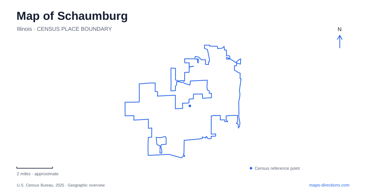
Street tiles load from OpenStreetMap when opened. The blue line shows the 2025 Census boundary.
- State
- Illinois
- Population · July 2025
- 77,249
- Land area
- 19.4 sq mi
- Water area
- 0.1 sq mi
Schaumburg contains several centers with very different origins. Woodfield is the familiar regional shopping destination, but the older village story belongs to a farming crossroads near Roselle Road. Spring Valley preserves a working interpretation of that agricultural landscape, while the municipal grounds bring sculpture into meadow and woodland. Farther south, a commuter station, a baseball stadium, and a general aviation airport create another set of destinations. A map that keeps these clusters visible gives a more useful picture than one focused entirely on shopping.
The historic Roselle Road crossroads
The settlement around Roselle and Schaumburg roads developed in the 1840s as Sarah's Grove. German farming families helped shape its early identity, and the concentration of businesses served surrounding farms. The village's historic-district account describes a community of blacksmithing, wagon making, tailoring, and general-store activity. This was a crossroads where goods and services gathered, long before the region's modern shopping complexes appeared.
Preservation policies have helped retain a distinct character around that intersection. The historic overlay district dates to 1978, and its design guidance calls for alterations and new development that respect early twentieth-century architecture. The older center is therefore a place to read successive layers of village development through buildings and street relationships. Its modest blocks offer a useful comparison with the larger parcels associated with regional retail.
Roselle Road also supplies a cultural sequence. The township district library is at 130 South Roselle Road, and Trickster Cultural Center is at 190 South Roselle Road. Their proximity places library services and Indigenous cultural programming within the same broader village-center corridor. The cultural center adds a contemporary Native perspective to an area often introduced primarily through its German settlement history.
Farm interpretation within Spring Valley
Volkening Heritage Farm has its own address at 201 South Plum Grove Road. The park district presents it as a working living-history site interpreting an 1880s German farm community. Livestock, seasonal chores, and interpreters in period clothing convey the activities that once occupied much more of the surrounding landscape. The farm's buildings and grounds are not merely decorative references to rural life; their arrangement supports demonstrations of agricultural work.
Spring Valley's nature preserve and living-history farm together offer a different scale of exploration from the roadside commercial areas. A visit can focus on the farm's seasonal work or on the surrounding natural setting. The distinction matters when reading the place: the preserve name describes a larger landscape, while the farm is a particular interpretive destination within it. In Schaumburg, this survival of agricultural interpretation gives substance to the history represented by the old crossroads.
Sculpture among the municipal grounds
The sculpture park occupies twenty acres of meadow and forest around the municipal center. The village identifies the cultural center at 201 Schaumburg Court as a starting point for exploring the collection. Works by American and international artists are distributed through the grounds, selected with their outdoor setting in mind. The result is an encounter with art through walking rather than through a sequence of indoor galleries.
Trees, open ground, and the distance between pieces become part of the experience. A site map showing individual artworks is more informative here than a single symbol for a museum. Benches and picnic tables provide places to stop along the way, and the village permits bicycles on the grounds. This landscape combines civic use, recreation, and visual art without requiring the visitor to choose only one of those purposes.
Woodfield and the Meacham Road corridor
The regional shopping area forms another recognizable center. Meacham Road is a major north-south route, with the stretch between Interstate 90 and Algonquin Road identified by the village as an important corridor. The Woodfield Trolley, operated as Pace Route 905, links destinations within the wider shopping and convention area. Its listed stops include the convention center, IKEA, Woodfield Village Green, and the Streets of Woodfield.
Those names describe a group of separate properties rather than a single mall building. The trolley's fixed route helps reveal their relationship, while its seasonal operating pattern means it should not be assumed available on every weekday. The street network and the individual retail destinations remain useful orientation points regardless of the transport mode chosen.
Rail, baseball, and small aircraft
The commuter rail station stands at 2000 South Springinsguth Road on Metra's Milwaukee District West Line. Wintrust Field is at 1999 South Springinsguth Road, putting baseball and commuter rail within the same southern corridor. The regional airport occupies 905 West Irving Park Road and is a public-use general aviation facility, with flight training, maintenance, and other aviation businesses. These destinations broaden a map of Schaumburg beyond retail: historic crossroads, cultural grounds, shopping districts, and transport facilities each explain a different part of the village.
Map and statistics: U.S. Census Bureau, 2025 Gazetteer, January 2025 generalized place boundaries and Vintage 2025 population estimates. Local references: Village of Schaumburg; Schaumburg Park District; Metra. Article prepared by Maps & Directions.