Map of Sayreville
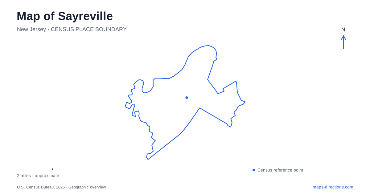
Street tiles load from OpenStreetMap when opened. The blue line shows the 2025 Census boundary.
- State
- New Jersey
- Population · July 2025
- 46,787
- Land area
- 15.9 sq mi
- Water area
- 2.8 sq mi
Sayreville combines a local street network with major regional river crossings. Main Street and Washington Road organize many everyday destinations, while the Raritan bridges connect the area to communities across the water. Cheesequake Creek introduces another crossing farther along Route 35. Reading the waterways and route numbers together is the best way to distinguish these transport features, which can otherwise merge into an undifferentiated cluster of highway symbols.
Main Street and Washington Road form the local framework
Rutgers planning work identifies Main Street and Washington Road as important local thoroughfares. The borough's park inventory makes their roles more concrete: Millers' Corner Park sits at their meeting, Triggs Park is associated with Washington Road and Margaret Street, and Jackson Avenue Park is reached from Washington Road. These repeated references show how neighborhood destinations attach to a smaller-scale network beneath the regional highways.
Main Street also provides the reference for River Road Park, at the end of River Road, and for War Memorial Park behind Borough Hall. This creates a useful distinction between civic destinations on the local street system and a recreational approach toward the river. A municipal map can reveal that structure even when the large expressway labels dominate a broader navigation view.
The Raritan crossings are not one bridge
The Route 35 Victory Bridge connects Sayreville with Perth Amboy across the Raritan River. New Jersey transportation information describes the present fixed crossing as a replacement for an older movable bridge. Its high structure accommodates marine traffic without the same kind of opening movement as the former span. That history explains a change in bridge form visible in photographs and engineering descriptions.
Nearby, the Driscoll Bridge carries the Garden State Parkway, while the Edison Bridge is associated with Route 9. These are distinct routes even though their crossings occupy the same broader river setting. A destination across the Raritan therefore calls for the appropriate approach road, not a generic instruction to reach “the bridge.” The route number is a more reliable organizing label than the apparent proximity of bridge symbols on a small map.
Cheesequake Creek is a separate crossing
Route 35 also crosses Cheesequake Creek between the borough and Old Bridge. New Jersey's transportation department identifies that structure as a drawbridge. It should not be confused with the fixed Victory Bridge over the Raritan, even though both are on the same numbered road. The waterway name resolves the ambiguity.
For a Sayreville regional journey, this means that following Route 35 can involve more than one significant water crossing with different neighboring communities. A report mentioning the creek bridge does not automatically describe the river bridge. Keep the crossing name and water body together when interpreting road information. This is a geographic distinction with practical value, especially when a route description refers to a bridge without naming the settlement at each end.
Parks reveal neighborhood connections
Kennedy Park is listed at Washington and Ernston roads, while Bailey Park uses South Minisink Avenue and Cheesequake Road as its reference. The recreation soccer complex is associated with Bordentown Avenue. These locations distribute recreation across several local corridors rather than gathering every facility in one central park.
A map of Sayreville can use those parks as landmarks for understanding the street network. Washington Road links several named neighborhood references; Bordentown Avenue identifies another recreation corridor; Cheesequake Road belongs to a different set of local connections. A facility's street reference is therefore useful beyond the immediate visit: it helps place that part of the borough in relation to its other neighborhoods and the regional roads.
Riverfront and waterfront labels need context
River Road Park and Waterfront Park are separate entries in the borough inventory. The first is reached from Main Street, while the second is identified with O'Leary Boulevard and Waterfront Road. Their names both refer to waterside settings, but the access streets make clear that they are not interchangeable destinations. The recreation department also lists a boat ramp on River Road.
The distinction matters when a visit is organized around an activity rather than a neighborhood. Boat access, a park gathering and a walk near the waterfront may use different facilities. Consult the relevant operator information for the intended use, while keeping the named road connection on the map. A water-edge symbol does not by itself identify a launch, public entrance or permitted route along the shore.
Hold the two road scales together
The most useful Sayreville overview shows both the local Main Street–Washington Road framework and the named regional crossings. The first explains where civic and neighborhood destinations sit; the second explains how the borough connects across the Raritan and Cheesequake Creek. Keeping both scales visible turns a complicated highway-and-waterway diagram into a clearer picture of how the local places relate.
Map and statistics: U.S. Census Bureau, 2025 Gazetteer, January 2025 generalized place boundaries and Vintage 2025 population estimates. Local references: Rutgers Bloustein School; Borough of Sayreville; Sayreville Recreation Department; New Jersey DOT. Article prepared by Maps & Directions.