Map of Savannah
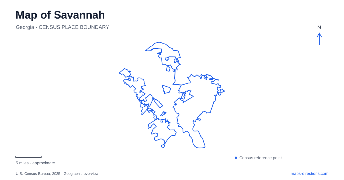
Street tiles load from OpenStreetMap when opened. The blue line shows the 2025 Census boundary.
- State
- Georgia
- Population · July 2025
- 149,440
- Land area
- 109.5 sq mi
- Water area
- 4.8 sq mi
Savannah's historic center rewards close map reading because its public squares interrupt the street grid in a deliberate pattern. A square is both a place to stop and a feature that changes how a route passes through a neighborhood. The riverfront introduces another complication: arriving near the water on a map does not necessarily mean standing at the same level as the promenade or beside the correct ferry landing. Begin with a small group of named places rather than an ambitious loop through every landmark. Johnson Square, Oglethorpe Square and Forsyth Park represent different parts of the historic landscape. Their names can anchor a route, but their histories, sizes and surrounding buildings should not be blended into one generalized picture of an old Southern city.
The first square and a changing civic memory
Johnson Square was laid out in 1733 and is identified by the city as its first square. At Bull Street and East Congress Street, it once accommodated a public mill and oven. Christ Church remains associated with the site, although the present building is not the original one. The Nathanael Greene Monument occupies the center of the square.
Those distinctions help explain why a map of Savannah is also a record of change. A longstanding place name can preserve continuity while individual buildings and commemorative features belong to later periods. Elsewhere, Taylor Square honors Susie King Taylor, the African American teacher, nurse and memoirist. The square formerly carried the Calhoun name, which still appears on older visitor maps. Its 2023 renaming means an older printed label and a current digital label may refer to the same physical space. Check the adjoining streets before assuming that a square has disappeared or moved.
A house museum that interprets slavery
The Owens-Thomas House & Slave Quarters stands at 124 Abercorn Street, near Oglethorpe Square. Completed in 1819 for shipping merchant and enslaver Richard Richardson, the house was designed by William Jay. Its architecture is only one part of the property's interpretation. Telfair Museums places the lives and labor of enslaved residents alongside the history of the wealthy households that occupied the mansion.
The carriage-house building contains surviving slave quarters, while the garden occupies an area that formerly served as a work yard. Reading the property as a whole reveals domestic labor and unequal power that a photograph of the main facade alone can obscure. Arrange the visit around the museum's tour procedure. The historic stairs have no elevator alternative, so anyone requiring step-free access should discuss the available experience with the museum before purchasing a visit based solely on the building's proximity to a square.
Forsyth is a park at a larger scale
Forsyth Park began as a smaller nineteenth-century public space and expanded to about thirty acres. Its 1858 fountain stands at the northern end, while paths, open lawns and recreation areas extend through a much larger landscape than one of the historic squares. The park lies south of Gaston Street, between Whitaker and Drayton Streets.
That shape matters when choosing a meeting point. Saying only the park's name can leave two visitors at different ends of a substantial public space. Name the fountain, a street corner or another identifiable feature instead. The city's park updates also distinguish restoration work from everyday recreation. A familiar photograph does not establish that a particular playground, fountain feature or court is available on the day of a visit.
River approaches and passenger crossings
River Street should be planned with attention to access between levels. Ramps, upper walkways and elevators serve different movements, and a vehicle restriction need not close the pedestrian route beside it. The Bull Street ramp and Hyatt elevator are useful named references, but they should not be treated as interchangeable approaches. Check the city's access guidance when a visit depends on a particular ramp or step-free connection between the upper streets and riverfront.
For crossing the water, the Savannah Belles Ferry is a passenger service operated by Chatham Area Transit. Its listed landings include City Hall, Waving Girl near Morrell Park, and the Westin side on Hutchinson Island beside the convention center. These are boarding points, not interchangeable labels for every dock along the Savannah River. Check the current service notice and choose the landing that fits the destination across the water.
The most useful Savannah map therefore combines the repeated square pattern with the exceptions: a much larger park, a museum whose complete story extends behind its facade, and a waterfront where levels and landings govern movement. Keeping those details visible makes a short route richer and more practical than collecting a long list of pins without understanding what separates them.
Map and statistics: U.S. Census Bureau, 2025 Gazetteer, January 2025 generalized place boundaries and Vintage 2025 population estimates. Local references: City of Savannah; Telfair Museums; Chatham Area Transit. Article prepared by Maps & Directions.