Map of Saratoga Springs
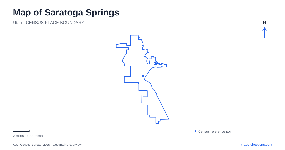
Street tiles load from OpenStreetMap when opened. The blue line shows the 2025 Census boundary.
- State
- Utah
- Population · July 2025
- 61,397
- Land area
- 23.3 sq mi
- Water area
- 0.1 sq mi
Saratoga Springs stretches through a landscape where a large lake, a river corridor, and long north–south roads provide the most useful orientation. This is the Utah community beside Utah Lake, rather than the New York city with the same name. On the local map, the lake's western shore helps establish east, while the Jordan River corridor introduces a different waterside setting toward the northeast. Neighborhood parks and major roads fill in the space between these larger geographic features.
Two water landscapes meeting near Inlet Park
Inlet Park, on South Saratoga Road, is an especially useful place to understand the relationship between shore and river. The city identifies it as a trailhead for the lake shoreline, Jordan River, and hot-springs routes. It also provides nonmotorized river access. The same park therefore appears in descriptions of several different outings, each following a different part of the surrounding landscape.
For a map of Saratoga Springs, that makes Inlet Park more than a recreation marker. It is a point from which to distinguish a river-oriented journey from a lake-edge walk. The city's trail directory places the Jordan River Parkway in the northeast and describes the lake shoreline route as separate segments along the western shore. A long blue edge on the map consequently does not represent one uniformly developed promenade.
The natural hot springs introduce a further boundary detail. Their trailhead is within the city, but the springs themselves are outside the municipal boundary, roughly a quarter mile south of Inlet Park according to the city's directory. This is a useful example of how a place can be closely associated with a community while lying beyond its formal limits. For orientation, keep the park, trail, and spring location as distinct features.
Redwood Road and the inland north–south pattern
Redwood Road is the major named line that helps organize the developed side of the map. Pioneer Crossing and Pony Express Parkway provide additional references when describing movement across the northern and central parts of the community. These names are worth recognizing together: a neighborhood's relationship to Redwood Road becomes more informative when paired with the east–west corridor nearest it.
The Mountain View Corridor extension supplies another north–south reference inland. In 2023, the city announced completion of a segment extending from Pony Express Parkway south to Lariat Boulevard, with Grandview Boulevard appearing along the project geography. That established connection should be distinguished from later regional road projects bearing the same corridor name. A map of Saratoga Springs can show both an existing local segment and planned work farther away without those lines representing identical road conditions.
Using Redwood and the completed extension as separate reference lines also helps explain why a trip between two inland neighborhoods may have little to do with the lake, despite the community's waterfront identity. The road network serves the length of the developed area, while the shore remains a distinct destination along its eastern side.
Neighborhood parks around Pioneer Crossing
Neptune Park sits south of Pioneer Crossing and west of Redwood Road. Its fields, lawns, play areas, and walking path make it a neighborhood recreation destination rather than a lake-access site. Shay Park occupies a northern position, north of Pioneer Crossing and west of Redwood, just south of Harvest Park. The city's parks plan notes a remnant of an old rail grade within Shay's walking-path setting.
These parks give Saratoga Springs a useful set of inland landmarks. Pioneer Crossing separates the reference points described above, while Redwood remains their shared eastern road reference. A family organizing an afternoon around playgrounds or fields can use that simple arrangement without treating every park name as a separate journey to the waterfront. The rail-grade remnant also adds a historical layer to an otherwise contemporary neighborhood map: older movement corridors can survive within present-day recreation spaces.
Southward along the shore
South Marina Park is reached from East Harbor Park Way. Its boat ramp, small-craft launch, picnic areas, and trailhead make water access central to its layout. The city's directory places the Pelican Bay Trail along the southeastern shore near the marina, giving this end of the lakefront its own named walking reference.
A north-to-south reading of Saratoga Springs can therefore move from the Jordan River and Inlet Park setting, through inland parks around Pioneer Crossing, toward the southern marina. This sequence is useful because it preserves the differences between places: river access, neighborhood recreation, and lake boating occupy related but distinct landscapes. Begin with the water and principal roads, then select the park or trail that matches the intended outing. The result is a coherent local map built around geography rather than a list of interchangeable waterfront stops.
Map and statistics: U.S. Census Bureau, 2025 Gazetteer, January 2025 generalized place boundaries and Vintage 2025 population estimates. Local references: City of Saratoga Springs. Article prepared by Maps & Directions.