Map of Sarasota
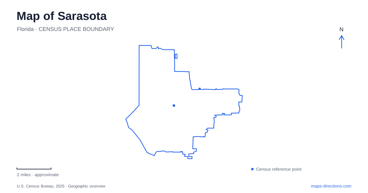
Street tiles load from OpenStreetMap when opened. The blue line shows the 2025 Census boundary.
- State
- Florida
- Population · July 2025
- 58,458
- Land area
- 14.7 sq mi
- Water area
- 9.4 sq mi
Sarasota's waterfront is a sequence of distinct places rather than one continuous beach district. Downtown faces the bay, the John Ringling Causeway leads toward the keys, and cultural destinations occupy several different stretches of mainland shoreline. Main Street, North Tamiami Trail, Mound Street, and Bay Shore Road help separate those settings. Keeping them visible together explains why a museum visit, a bayfront stroll, and a Gulf beach outing can involve very different routes.
Downtown meets the bay
Main Street and Palm Avenue form part of the downtown commercial and cultural setting. The visitor bureau places Palm Avenue a block from Main in its description of the central hotel district, a useful relationship for understanding how close the cross streets are to one another. The bayfront then opens the urban scene outward toward water, boats, and the causeway.
Bayfront Park and Marina, also identified by the city as Island Park, is at 5 Bayfront Drive. Its listed features include a walking path, public art, picnic tables, playground, and water feature. These amenities make the shoreline a public gathering landscape as well as a place to observe the marina.
For a map of Sarasota, the park is a strong orientation point between the downtown blocks and the water. Its peninsula-like setting and shoreline path give a different experience from moving along shopfronts. The city is also carrying out waterfront restoration and seawall work, so the permanent geography should be distinguished from temporary construction arrangements at particular sections.
The causeway introduces the keys
The John Ringling Causeway connects the mainland side of the bay with the island route toward St. Armands and Lido Key. Its high bridge provides views of the bay and downtown, making the crossing part of the landscape experience rather than simply a means of reaching a beach.
The visitor bureau identifies St. Armands Circle and Lido Beach as destinations reached from the downtown side through this connection. Their relationship is important: the circle is a shopping and dining setting, while the beach faces the Gulf. They belong to the same broader island outing but serve different purposes.
A stay in downtown Sarasota can therefore include a waterfront walk without automatically including the Gulf shore. The bayfront park, bridge, circle, and beach form successive environments. Looking at that sequence on the map clarifies how the city relates to its offshore islands and why “waterfront” can describe several quite different locations.
Gardens at Mound Street and mangroves farther north
Marie Selby Botanical Gardens' downtown campus is at 1534 Mound Street. Its parking facility is approached from Mound Street and South Orange Avenue, and bicycle racks are near the Welcome Center. The campus includes the Children's Rainforest Garden and Museum of Botany & the Arts, giving the garden visit both outdoor and exhibition components.
The institution also operates Historic Spanish Point in Osprey. That is a separate campus farther south, with its own location and historical landscape. Keeping the downtown campus address in view prevents two distinct garden experiences from being collapsed into a single destination.
North of the central downtown streets, The Bay occupies waterfront land along North Tamiami Trail between Boulevard of the Arts and Tenth Street. Its Mangrove Bayou Walkway follows a half-mile accessible nature route among mangroves, native plants, and water. The park's lawns and playground add other public uses to this restored waterfront setting.
Together, these places show two different approaches to Sarasota's coastal vegetation. Selby presents curated botanical collections and exhibitions; The Bay brings a public walking route into a mangrove landscape. Their street references also reveal their separation within the mainland waterfront rather than suggesting that the two sites share an entrance or a single garden boundary.
The Ringling occupies its own northern estate
The Ringling is at 5401 Bay Shore Road. Its arrival information places the main museum parking lot at University Parkway and Bay Shore Road, with visitors crossing the road to the gatehouse and continuing into the McKay Visitors Pavilion. This establishes a northern cultural destination distinct from the downtown bayfront.
The estate includes the Museum of Art, Bayfront Gardens, and Ca' d'Zan, the former home of John and Mable Ringling. Those names describe different components within a substantial property. A visit focused on the house and grounds has a different emphasis from one centered on the art galleries, even though both begin with the same general arrival area.
The spread of these destinations gives Sarasota its characteristic mixture of urban streets, bayfront open space, gardens, and museum grounds. A map organized around Main Street, the causeway, Mound Street, North Tamiami Trail, and Bay Shore Road makes that variety legible. Each corridor introduces a particular setting, allowing an itinerary to develop around interests rather than a vague assumption that everything beside the bay is in one district.
Map and statistics: U.S. Census Bureau, 2025 Gazetteer, January 2025 generalized place boundaries and Vintage 2025 population estimates. Local references: Visit Sarasota County; City of Sarasota; Marie Selby Botanical Gardens; The Bay Park Conservancy; The Ringling. Article prepared by Maps & Directions.