Map of Santee
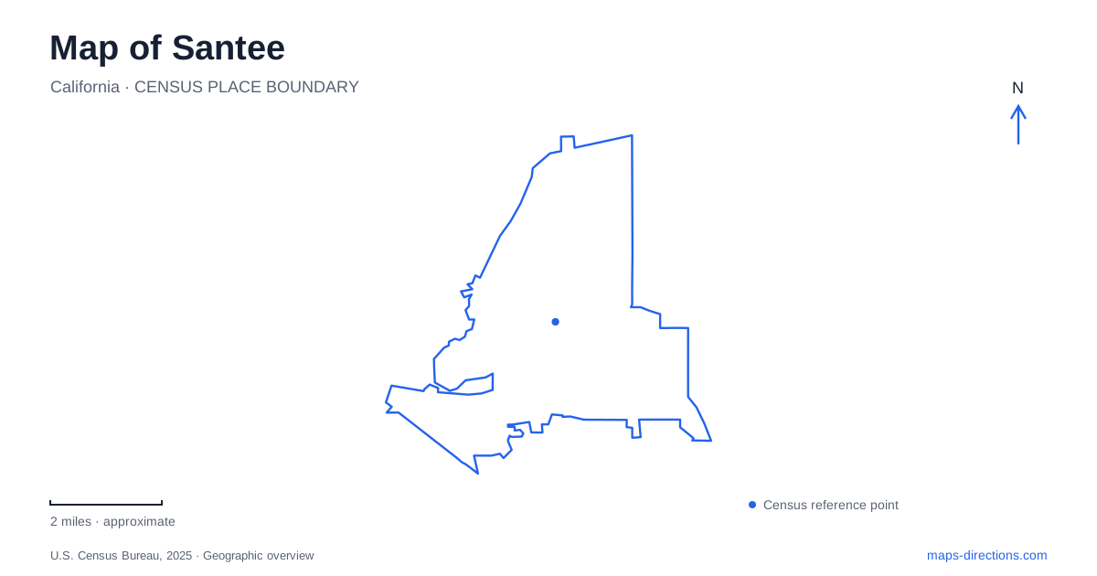
Street tiles load from OpenStreetMap when opened. The blue line shows the 2025 Census boundary.
- State
- California
- Population · July 2025
- 58,205
- Land area
- 16.5 sq mi
- Water area
- 0.2 sq mi
Santee's outdoor geography is shaped by two different water stories. The San Diego River supports a corridor of preserves and trails, while a separate chain of recreation lakes grew from a water-recycling project. Between those landscapes, Mast Park and the Town Center area provide community recreation and transport connections. Fanita Parkway, Carlton Hills Boulevard, Magnolia Avenue, and Cuyamaca Street help locate the city's different settings without confusing the lakes with the river itself.
Seven lakes with an engineering history
Santee Lakes Recreation Preserve is at 9310 Fanita Parkway. Padre Dam Municipal Water District created the lakes to demonstrate water recycling, with recreation beginning on Lake Four in 1961. The present park contains seven recycled-water lakes, making its open-water landscape the result of an infrastructure project as well as a recreation investment.
The operator describes water arriving from the reclamation facility north of the lakes and moving through the system before some is reused for irrigation. That process gives the landscape a purpose beyond its appearance. Fishing, boating, camping, and walking take place within a setting whose origin is closely tied to the community's handling of wastewater.
The distinction is useful when comparing the lakes with a natural river preserve. The numbered lakes form a managed recreation system, while the San Diego River follows its own corridor through the city. A map that displays both shows how water management and habitat protection have produced different kinds of public outdoor space.
Mast Park connects to neighborhood paths
Mast Park is at 9125 Carlton Hills Boulevard. Its amenities include lighted trails, a playground, nature discovery area, disc golf, basketball, exercise equipment, and a dog park with separate areas. The variety creates a community park suited to several activities rather than a destination organized around one attraction.
The city's visitor information identifies walk-in access from Mission Creek Trail, reached from Cuyamaca Street or the nearby shopping-center parking area, and from the end of Wintercreek Place. These connections show how the park fits into the surrounding neighborhoods. A route into the grounds can begin on a local path rather than only at the principal vehicle address.
Within Santee, Mast Park offers a more developed recreation environment than the river preserve. Play equipment, sports areas, and picnic shelters give the grounds a different character from an uninterrupted nature walk. The path connections nevertheless allow those built facilities to remain part of a wider walking network.
Magnolia Avenue opens onto Walker Preserve
Walker Preserve is reached at 9500 Magnolia Avenue, with its trail continuing toward Lakeside. The city describes a broad, mostly level unpaved route alongside the San Diego River. A bicycle repair station, drinking fountain, and interpretive features support a walk or ride along this eastern stretch of the corridor.
Historic farm and mining artifacts appear along the trail, and history-themed murals are located beneath the Magnolia bridge. These details connect the river setting with earlier human uses of the land. The preserve therefore offers more than vegetation and water views; it also provides evidence of working landscapes that preceded the present recreation route.
The Walker trail extends beyond the municipal boundary, with an additional parking option at Marathon Parkway in Lakeside. That continuity is part of the appeal of exploring the river near Santee: the watercourse and trail do not end simply because the city name changes. The route belongs to a broader valley geography, even though Magnolia Avenue remains a useful local starting point.
Cuyamaca Street and the trolley connection
The Town Center trolley station is served by the Copper Line, introduced in September 2024. Metropolitan Transit System identifies it as an East County connector between the local terminal and El Cajon Transit Center, where passengers can connect with Green and Orange Line services. Older descriptions of a direct Green Line service into town therefore reflect an earlier network arrangement.
The railway follows a single-track section along Cuyamaca Street between Gillespie Field and the terminal area. MTS explains that this constrained section, together with the Mission Gorge Road intersection, helped prompt the service reorganization. That is a useful example of physical geography and infrastructure influencing how a transit map operates.
Nearby recreation addresses include Town Center Community Park East on Park Center Drive and the western park area on Cuyamaca Street. These facilities, Mast Park's connecting paths, the river preserve, and the managed lakes give Santee several ways to combine urban access with outdoor time. The strongest local orientation comes from following their named corridors and understanding what each landscape was created to do.
Map and statistics: U.S. Census Bureau, 2025 Gazetteer, January 2025 generalized place boundaries and Vintage 2025 population estimates. Local references: Padre Dam Municipal Water District / Santee Lakes; Santee Lakes; City of Santee; San Diego Metropolitan Transit System. Article prepared by Maps & Directions.