Map of Santa Monica
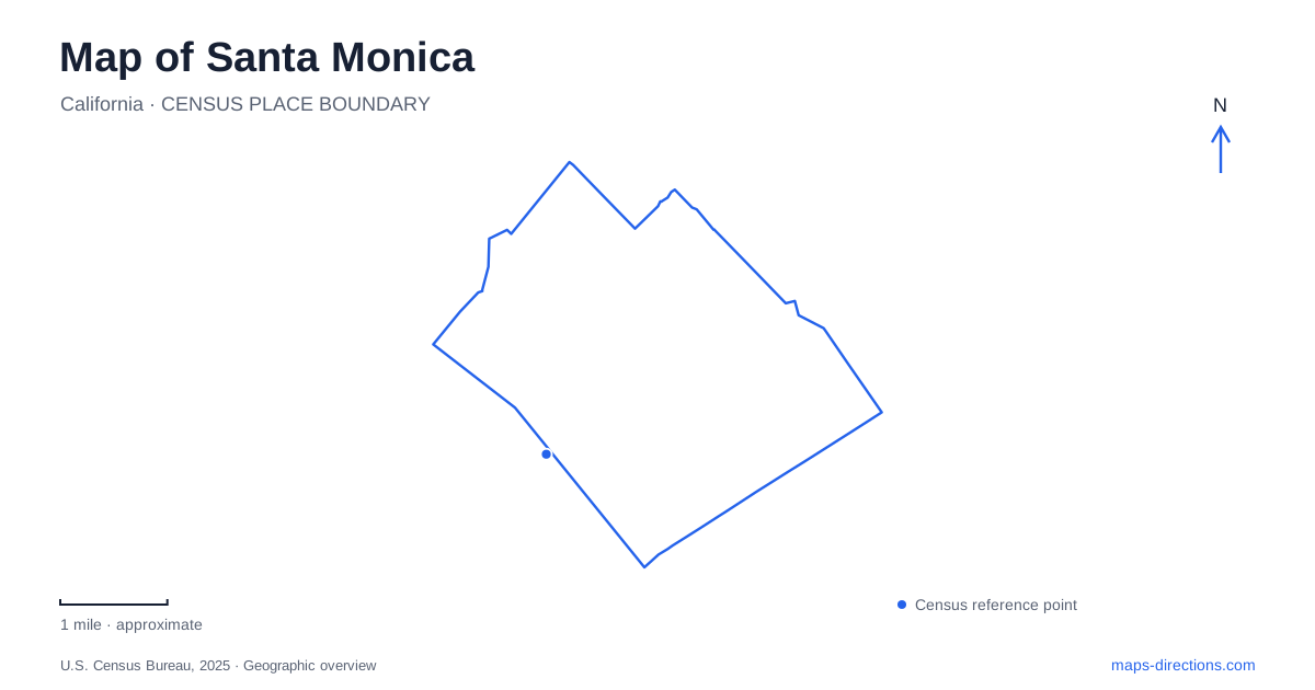
Street tiles load from OpenStreetMap when opened. The blue line shows the 2025 Census boundary.
- State
- California
- Population · July 2025
- 90,082
- Land area
- 8.4 sq mi
- Water area
- 8.8 sq mi
Santa Monica faces the ocean across several distinct levels of landscape. The beach lies below the bluff-top park and downtown streets, while the pier projects beyond the shoreline. Farther along the coast, a former private estate has become a community beach facility. Inland from the sand, civic buildings and public art commemorate neighborhoods transformed by redevelopment. These relationships give a map more meaning than the familiar image of a Ferris wheel beside the water.
A bluff-top park above the beach
Palisades Park forms a long, narrow strip above the coast. Its roughly 26 acres include overlooks, gardens, monuments and the Camera Obscura Art Lab at 1450 Ocean Avenue. The linear form is useful for orientation: the park follows the edge of the bluff rather than gathering its activities around one central lawn.
That elevation is the key distinction between an oceanfront view and a beach-level location. A point beside Ocean Avenue can overlook the sand without occupying the same level. The park's paths, pergola and planted areas belong to the upper landscape; the beach and coastal transportation corridor lie below. Reading those as separate layers helps explain why shoreline destinations that appear close together on a flat map may connect through a more specific route.
How two piers became one landmark
The Santa Monica Pier is a combination of structures with different origins. The longer, narrower northern portion opened as the Municipal Pier in 1909. Its initial infrastructure purpose included carrying sewage pipes offshore, even as fishing and recreation quickly became part of its use. The broader southern portion followed in 1916 as Charles Looff's amusement venture.
This history explains the pier's irregular outline. It was not designed all at once as a single amusement platform. Public infrastructure and private entertainment developed side by side, eventually creating the familiar combined destination. The Looff Hippodrome belongs to the amusement expansion, giving the carousel building a historical role beyond its present appeal. Seen this way, the pier records changing ideas about how a city could use its shoreline.
Downtown connections and a newer park
The E Line's downtown terminal connects Santa Monica with the regional rail network. Its role differs from that of the coastal roads: it brings passengers into the urban center, where the final part of a beach or pier outing continues through local streets. The railway is therefore another layer of access to the coast, rather than a track running along the sand.
Tongva Park occupies land between Ocean Avenue and Main Street near Colorado Avenue. The city describes its creation as the transformation of about six acres of asphalt parking into public open space. This origin makes the park a clear example of deliberate urban change. Its landscaped forms sit within a developed civic setting, in contrast with the long natural bluff edge that shapes Palisades Park. Together, the two parks show different ways of making room for public life beside a densely used coastline.
A private estate becomes a community beach house
The Annenberg Community Beach House occupies five oceanfront acres north of the pier. William Randolph Hearst developed the estate for actress Marion Davies during the 1920s, when this stretch of coast became associated with prominent entertainment figures. The site later underwent substantial change, and the current public facility should not be mistaken for a wholly surviving private mansion.
Julia Morgan's historic pool dates to 1928. Its preservation gives the present complex a tangible connection with the earlier estate. The community beach house opened in 2009 without a membership requirement, changing the social purpose of a location once associated with private privilege. In Santa Monica, this is a particularly visible example of architectural conservation serving a new public use rather than simply recreating an earlier way of life.
Belmar and the history beneath civic space
Historic Belmar Park adds a less widely recognized chapter to the coastal landscape. African American residents and businesses once formed a community in this area and other nearby beach neighborhoods. Belmar Terrace ran beside what became the Civic Auditorium site, connecting Pico Boulevard and Main Street. Redevelopment and displacement during the 1950s changed this neighborhood dramatically.
The Belmar History + Art project uses interpretation and public art to make that history visible again. The park's dedication in 2021 recognized community life that the later civic landscape had largely obscured. This is more than a commemorative name on a recreation space: it asks readers to understand that today's public buildings and streets can occupy the sites of earlier homes and businesses.
A map of Santa Monica is most informative when these layers remain visible together. The bluff explains the coast's physical shape; the two-part pier records infrastructure and entertainment; the beach house illustrates a change from private estate to public facility; and Belmar preserves the memory of a displaced community. Each adds a different explanation for the landscape encountered today.
Map and statistics: U.S. Census Bureau, 2025 Gazetteer, January 2025 generalized place boundaries and Vintage 2025 population estimates. Local references: Santa Monica Travel & Tourism; Santa Monica Conservancy; Los Angeles Metro; City of Santa Monica. Article prepared by Maps & Directions.