Map of Santa Cruz
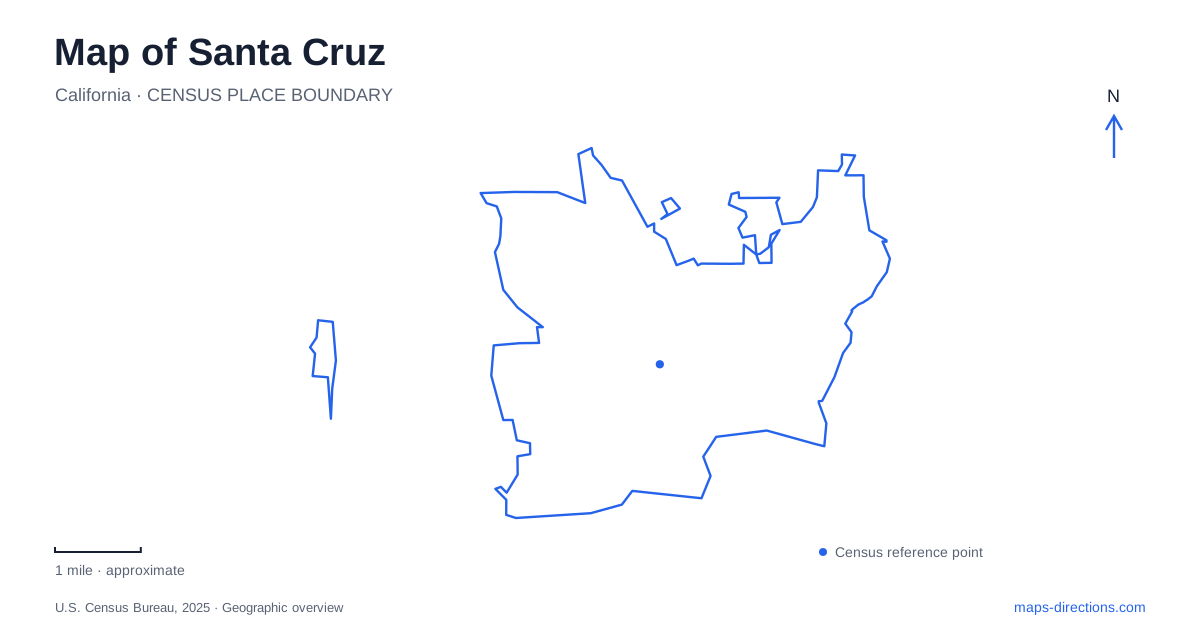
Street tiles load from OpenStreetMap when opened. The blue line shows the 2025 Census boundary.
- State
- California
- Population · July 2025
- 61,797
- Land area
- 12.7 sq mi
- Water area
- 3.1 sq mi
Santa Cruz occupies the northern end of Monterey Bay, where a river corridor, coastal bluffs and wooded uplands meet a compact urban street network. The San Lorenzo River helps organize the center and its relationship with the beach. West Cliff follows another part of the shoreline, while Mission Street and Bay Street connect the west side with the university hills. These are different geographic experiences within one city, and a useful map shows the transitions between them rather than treating every destination as part of the beachfront.
The river connects downtown and the beach district
The city's downtown planning material identifies the San Lorenzo as a pedestrian connection between the beach, downtown and neighboring areas. It also describes cross-town relationships along Cathcart Street and the Church–Cooper corridor. These streets help explain how the commercial center relates to a river running beside it: the waterway provides a longitudinal route, while shorter streets bring people toward it from the surrounding blocks.
Near the river's mouth, the Trestle Trail forms a particularly concrete connection. The city records the completed bicycle and pedestrian path alongside the rail trestle as linking the Beach Boardwalk area with Seabright, the Riverwalk levee path and downtown. This creates a useful map junction between a coastal crossing and the river corridor, rather than requiring every trip to retrace the same street approach.
In Santa Cruz, the river is therefore more than a scenic blue line. It helps divide and connect recognizable districts. A downtown stop, a Boardwalk visit and a Seabright destination can be read in relation to the river and its crossings, with the trestle path supplying one specific pedestrian and cycling connection among them.
West Cliff follows the bluff edge
The municipal West Cliff description places the Wharf and Boardwalk near one end of the coastal pathway and Natural Bridges at the other. Along the route, Lighthouse Point projects toward the ocean, with Steamer Lane on its eastern side. The city's coastal planning material identifies Bay, Woodrow, Fair and Swanton among the streets connecting inland blocks to West Cliff Drive.
This produces a different street pattern from the river corridor. Roads approach the coast across residential blocks, then meet a route that follows the shoreline's bends. Lighthouse Point is a prominent physical marker along that edge, while Natural Bridges identifies the farther coastal destination. The map's changes in direction are part of the landform, not random turns in an otherwise regular grid.
The coast also has vertical relief. Bluff-top paths and viewpoints occupy a different level from small beaches and tide pools below. That distinction is useful for understanding a Santa Cruz coastal map even before choosing a particular beach access: the shoreline is a sequence of cliffs, points and coves rather than one uniformly flat strip of sand.
Mission Street and Bay Street lead uphill
The university's published directions describe Highway 1 continuing as Mission Street through town, with Bay Street leading to the main campus entrance. This gives the west side a clear inland connection. The highway and commercial street belong to the urban approach, while Bay Street leads toward a campus set in a very different landscape above the bay.
UC Santa Cruz explains that its central campus begins where meadow and forest meet, then extends north into wooded land. Academic buildings form a core with residential colleges around it. That arrangement is less like a conventional campus occupying a few city blocks and more like a collection of developed areas within a larger landscape of slopes, trees and open ground.
For a university visit, the campus map becomes a separate geographic layer. A college, laboratory and performance venue may all belong to the same institution while occupying different clusters. The meadow-to-forest transition helps explain those relationships and why a city street map alone cannot convey the internal layout.
Wilder Ranch extends the coastal landscape beyond town
California State Parks describes Wilder Ranch as a landscape descending from the Ben Lomond Mountain area across ancient marine terraces toward the shore. Coastal prairie, ravines, woodland and historic ranch buildings occupy different parts of the park. It continues the region's landform story beyond the urban blocks, rather than functioning as simply another small beachfront park.
Natural Bridges and Wilder Ranch are distinct destinations, even though both help explain the same coastal setting. The map of Santa Cruz is most informative when the river corridor, bluff-top coast, Mission Street approach and university uplands remain visible as separate systems. Together they show how water, terrain and development shape a city whose beach identity is only one part of its geography.
Map and statistics: U.S. Census Bureau, 2025 Gazetteer, January 2025 generalized place boundaries and Vintage 2025 population estimates. Local references: University of California Santa Cruz; City of Santa Cruz; California State Parks. Article prepared by Maps & Directions.