Map of Santa Clara
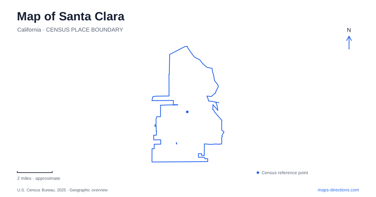
Street tiles load from OpenStreetMap when opened. The blue line shows the 2025 Census boundary.
- State
- California
- Population · July 2025
- 133,446
- Land area
- 18.3 sq mi
- Water area
- 0.0 sq mi
Santa Clara presents a surprisingly specific map problem: a familiar name can identify a city, a university or a station that is not even in the same municipality. Add two different rail stops associated with Great America, and choosing a result by name alone becomes unreliable. The solution is to pair each destination with its street and operator. El Camino Real, Railroad Avenue, Tasman Drive and Kiely Boulevard then become clear anchors for several very different parts of the local landscape.
The mission is within a university campus
The university's mission visitor information directs drivers to 500 El Camino Real and explains the remaining walk from campus parking toward the church. The mission is not a freestanding roadside attraction with an interchangeable entrance on every side. Its setting inside the campus matters: vehicle arrival and arrival at the church doorway are separate stages of the same visit.
The published directions distinguish the main parking garage from the north garage and describe pedestrian approaches through the campus. They also identify the church as an active religious space and note that the adjacent enclosed cemetery garden is not open for public entry. A detailed campus map is therefore more useful than a pin in the center of the historic site. It explains the permitted routes between the parking area, paths and destination without treating every landscaped space as accessible.
A campus tour can have a different check-in address
Santa Clara University's admission directions specify 407 Palm Drive for campus-visit arrivals, while the mission's general directions use El Camino Real. These are not contradictory descriptions of the city. They reflect different purposes within a large campus. A prospective student's appointment should follow the check-in instructions associated with that visit, while a church visitor should follow the mission's own arrival information.
This is an important distinction when sharing a location with someone else. Sending the name of the university may place their map at a general campus marker rather than the appropriate reception point. Send the building or program name as well. Campus paths are useful for the final walk, but the road approach should end at the designated visitor arrival rather than attempting to continue through a pedestrian mall.
Three station names require careful reading
Santa Clara Caltrain Station is listed at 1001 Railroad Avenue. Caltrain's station information also identifies connections with other operators. The operator name is essential, because VTA separately lists a light rail stop bearing the same city name at South First Street in San Jose. A traveler looking for the Railroad Avenue station should not select that downtown light rail result merely because its label appears familiar.
There is a second naming issue around Great America. VTA's light rail station list places that stop on Tasman Drive, while its regional station information identifies a separate Great America facility connecting with ACE. A rail itinerary should therefore retain both the station and service names. The surrounding entertainment destinations may help orient the area, but they do not make every platform with a similar label the same boarding location.
Civic Center Park and Central Park are different places
Civic Center Park fronts City Hall on El Camino Real. Central Park, by contrast, is listed at 909 Kiely Boulevard. These two names are easy to shorten into the same vague idea of a municipal park, yet they identify different destinations. A visit involving City Hall should be located from that civic address, while a recreation outing at the larger park needs the Kiely Boulevard setting.
Central Park is organized partly around Saratoga Creek. The city's description distinguishes picnic and play spaces on one side from additional recreation and library facilities elsewhere in the park. This means a single green-area marker cannot resolve every arrival. If the purpose is a library visit, tennis session or reserved gathering, identify that facility within the grounds. The creek and paths then provide useful internal orientation rather than merely decorative map features.
Creek trails add another layer
The municipal description of the San Tomas Aquino/Saratoga Creek Trail identifies a segment between Scott Boulevard and Monroe Street, with undercrossings at Central Expressway, Walsh Avenue and the railway. These are useful examples of why a cycling or walking map differs from a driving map: a path may continue beneath a barrier that a vehicle route must approach through an interchange or street crossing.
For a Santa Clara journey, select the destination first and then the appropriate movement network. The mission calls for campus arrival details, Railroad Avenue calls for the correct rail operator, and a creek outing calls for a trail access point. A Santa Clara overview is most helpful when it preserves these distinctions instead of merging all familiar names into one center. It establishes where places belong while leaving current schedules, construction restrictions and event access to the relevant facility's latest information.
Map and statistics: U.S. Census Bureau, 2025 Gazetteer, January 2025 generalized place boundaries and Vintage 2025 population estimates. Local references: Santa Clara University; Caltrain; VTA; City of Santa Clara. Article prepared by Maps & Directions.