Map of Sanford
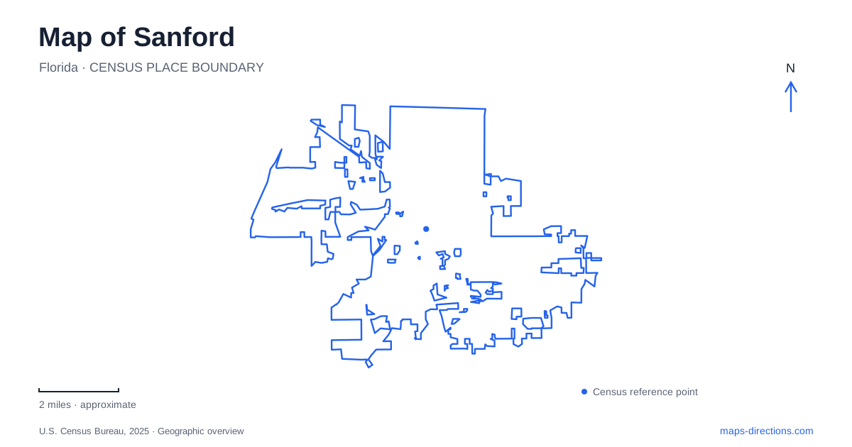
Street tiles load from OpenStreetMap when opened. The blue line shows the 2025 Census boundary.
- State
- Florida
- Population · July 2025
- 67,483
- Land area
- 24.3 sq mi
- Water area
- 3.6 sq mi
Sanford faces Lake Monroe, with its historic center organized along the south shore. The setting belongs to the St. Johns River navigation story as much as to a modern lakeside outing. Inland, Goldsboro preserves the identity of a formerly independent Black town, while two different passenger-rail facilities serve quite different journeys. These relationships make the city more understandable than a map focused solely on the waterfront: the shore, historic neighborhoods, and transport terminals each have their own role.
The lakeshore began as a place of exchange
The municipal history describes the area as the head of navigation on the St. Johns River. Fort Mellon, a military post established during the Seminole Wars, preceded the settlement of Mellonville. Commercial steamboats made that settlement a distribution point for goods needed farther into Central Florida. The shore was therefore a working threshold between water transport and inland settlement before it became a recreation frontage.
Land purchased west of Mellonville in 1870 became the basis for a new town, incorporated in 1877. Mellonville was annexed six years later. On a map of Sanford, this sequence explains why the older name remains meaningful in streets and park references. The waterfront's identity developed through neighboring settlements and changing transportation systems, not through one uninterrupted founding event. Looking along the lake provides a geographical framework for those successive stages.
RiverWalk follows a lake, despite its name
RiverWalk runs along Lake Monroe's southern shore. The city describes it as a multiuse waterfront trail developed in phases, with the initial section extending from Mellonville Avenue to French Avenue and later work continuing westward. Those street names provide useful landmarks for understanding its length and its relationship with downtown.
A walk here is a lakeshore experience rather than a narrow riverside passage. The broad water surface, seawall, and connections to public parks give the route a different character from a wooded creek trail. Fort Mellon Park, listed at 600 East First Street, adds playgrounds, a splash pad, and shaded picnic pavilions close to the water. A short family stop within the park and a longer RiverWalk outing can share the same general district without requiring the same distance or activity. The park offers a compact destination within the wider waterfront corridor.
East First Street connects recreation with local history
The municipal museum is at 520 East First Street, placing it within the same street setting as Fort Mellon Park. Opened in 1957, it later expanded to accommodate a broader collection. Its Chase Gallery interprets themes including riverboats, railroads, agriculture, city planning, and the former naval air station. These subjects explain why the city cannot be understood only through its attractive lakefront.
For Sanford, the museum offers a way to connect visible geography with less obvious economic and institutional history. Riverboats relate directly to the shore, while agricultural and military collections introduce activities whose influence extended well beyond downtown. A museum visit can therefore supply context for the places encountered outdoors. Its location makes that relationship especially clear: historical interpretation and public waterfront recreation occupy neighboring parts of East First Street.
Goldsboro retains the story of an independent town
Goldsboro incorporated in 1891 through the efforts of William Clark and other Black registered voters. It developed its own government, businesses, churches, and schools. In 1911, legislative action dissolved its municipal independence and incorporated the community into the larger city. This was not simply an ordinary subdivision being added to a growing suburb.
The city's neighborhood plan identifies the historic business corridor along former Thirteenth Street, now Historic Goldsboro Boulevard. It places the community southwest of downtown, with French Street and Persimmon Avenue among its broader geographical references. The Goldsboro Trail offers a separate walking and cycling route associated with this neighborhood. Including Goldsboro on a map of Sanford acknowledges a distinct civic history and a continuing neighborhood identity. Its streets deserve to be read on their own terms rather than treated as unnamed blocks behind the waterfront.
Two train services use different terminals
SunRail's local station is at 2720 West State Road 46, near Airport Boulevard. The operator identifies downtown as a separate destination reached through onward transportation, including the city trolley. Arrival by commuter rail therefore does not place a traveler directly on the central waterfront streets.
Amtrak's Auto Train terminal is elsewhere, at 600 South Persimmon Avenue. It is the southern endpoint of the service connecting passengers and their vehicles with Lorton, Virginia. Its vehicle-handling function is fundamentally different from SunRail's regional passenger service. For a journey to Sanford, the operator's name and terminal address are essential parts of the destination. The two facilities share a city name but serve different travel patterns, just as the waterfront, museum district, and Goldsboro neighborhood explain different parts of the local landscape.
Map and statistics: U.S. Census Bureau, 2025 Gazetteer, January 2025 generalized place boundaries and Vintage 2025 population estimates. Local references: City of Sanford; Florida Department of State; SunRail; Amtrak. Article prepared by Maps & Directions.