Map of Sandy Springs
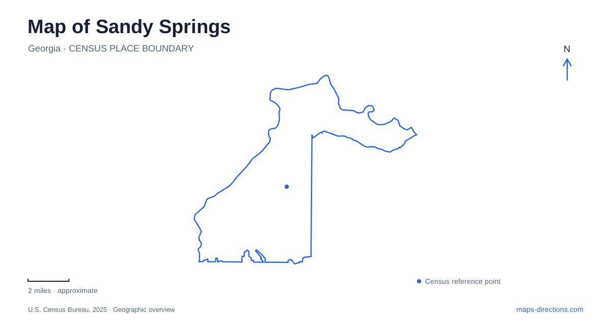
Street tiles load from OpenStreetMap when opened. The blue line shows the 2025 Census boundary.
- State
- Georgia
- Population · July 2025
- 105,013
- Land area
- 37.7 sq mi
- Water area
- 0.9 sq mi
Sandy Springs has two especially useful map stories: the creation of a civic downtown and the many ways the Chattahoochee River can be reached. City Springs concentrates government, performance venues, housing, and public space in one district. The river, by contrast, is approached through separately named parks and national recreation-area units. Roswell Road links the broader urban area, while Morgan Falls Road and Island Ford Parkway lead toward different river landscapes. Keeping those local names visible reveals a city organized around several distinct destinations rather than one continuous waterfront.
A downtown deliberately created
City Springs opened in May 2018 after a master plan adopted in 2012. The 14-acre development includes City Hall, a performing-arts center, conference facilities, the City Green, restaurants, and apartments. City Hall's address is 1 Galambos Way, providing a clear civic reference within that mixed-use setting.
The sequence is significant because the municipality itself began operating in December 2005. The central gathering place was a later city-building project, designed to bring public functions and everyday activity together. It is therefore more accurate to read this downtown as an intentional modern development than as an unchanged nineteenth-century square.
Sandy Springs also retains a much older geographic reference nearby: the original spring. The heritage grounds on Blue Stone Road were developed around that feature. The city's history connects the site with community greenspace and events, placing the natural landmark alongside the newer civic district rather than replacing it.
Blue Stone Road and the heritage grounds
The heritage campus uses 6110 Blue Stone Road and contains the City Springs Entertainment Lawn. That lawn includes a permanent stage and provides another outdoor event setting beyond the City Green. The two names matter because they refer to different gathering spaces within the broader central area.
A map showing only the performing-arts center would miss this distribution of venues. Indoor performances, civic business, and outdoor events can all belong to the same district while taking place on different parcels. Blue Stone Road and Galambos Way provide the practical references for distinguishing them.
The original spring also gives the district historical depth. Sandy Springs takes its identity from a water feature that predates the municipality and its newer civic architecture. Reading the heritage campus together with City Springs shows how a civic center can incorporate an older community landmark without making every element the same age.
Morgan Falls above the dam
Morgan Falls Overlook Park opened in 2010. Its outlook is toward the Chattahoochee, and its floating dock provides access to water upstream of Morgan Falls Dam. The park also includes a playground, picnic facilities, porch swings, and a wooded hiking route of about two-thirds of a mile.
The word Overlook describes an important part of the setting, but the park offers more than a viewpoint. Its grounds bring together elevated views, a short woodland walk, and an access point for small paddlecraft. The river level here is influenced by the hydroelectric dam, adding a managed-water dimension to the landscape.
For Sandy Springs visitors, the adjacent names should remain distinct. Morgan Falls River Park and the dog park are identified separately from the Overlook. The city's trail information directs drivers seeking Springway parking to the dog-park location at 100 Morgan Falls Road. These are neighboring components of a larger recreation area, each serving a different role.
A completed boardwalk connection
The first Morgan Falls Connector segment of Springway runs approximately 1.88 miles between the Overlook area and Roswell Road at Cimarron Parkway. Its boardwalk crosses Orkin Lake, creating a recognizable transition between the commercial-road approach and the river landscape.
This completed segment is only part of a larger trail plan. The conservancy describes additional segments intended to form a broader loop, while the city identifies neighboring sections as being in design. The distinction helps keep a present-day route separate from the eventual network shown on planning maps.
National recreation areas along the same river
Island Ford and Powers Island are separate units within Chattahoochee River National Recreation Area. The National Park Service provides individual maps for them, with Island Ford's map identifying the visitor center, canoe launch, and named trail loops. The park's headquarters address is 1978 Island Ford Parkway.
Powers Island appears within the Cochran Shoals grouping of unit maps. It should not be treated as another entrance to the same compact grounds as Island Ford. Sandy Springs reaches the river through several distinct pieces of protected and recreational land. City Springs, the heritage spring, Morgan Falls, and the national-park units each add a different relationship between streets, public space, and water to the overall map.
Map and statistics: U.S. Census Bureau, 2025 Gazetteer, January 2025 generalized place boundaries and Vintage 2025 population estimates. Local references: City of Sandy Springs; Sandy Springs Conservancy; National Park Service. Article prepared by Maps & Directions.