Map of San Ramon
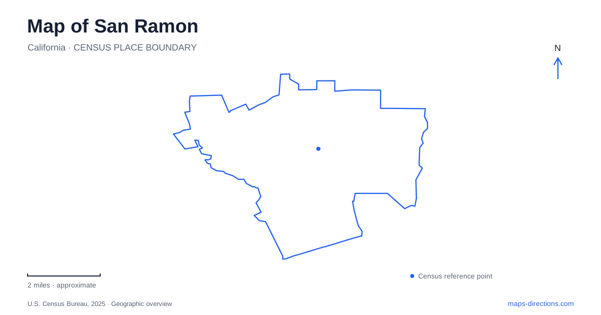
Street tiles load from OpenStreetMap when opened. The blue line shows the 2025 Census boundary.
- State
- California
- Population · July 2025
- 86,209
- Land area
- 20.1 sq mi
- Water area
- 0.0 sq mi
San Ramon has a useful contrast between the relatively level central valley and the hillier ground toward its eastern and western sides. The city’s recreation planning documents identify that difference explicitly, alongside Interstate 680 as a barrier to east–west walking and cycling connections. A map that makes all nearby destinations appear equally easy to reach can conceal both terrain and crossing constraints. Read the street network, trail corridor and hillside routes together before deciding how a journey should be made.
The Iron Horse Trail supplies a valley connection
The Iron Horse Trail passes through the city as part of the regional route between Pleasanton and Concord. The municipal description identifies a flat paved corridor connecting residential and commercial areas, schools, transportation and community facilities. Its function is therefore broader than a recreational loop in one park. It can help explain how otherwise separate destinations relate along the valley.
For a San Ramon walk or bicycle trip, identify the access point nearest the actual destination rather than starting with a generic trail marker. A long corridor has many possible beginnings. Decide whether the intended outing is an out-and-back trip, a connection between two places or part of a longer regional route. The choice determines which entrance and exit matter, even when the same trail name appears throughout.
A newer bridge changes how older maps should be read
The city announced that the bicycle and pedestrian overcrossing at Bollinger Canyon Road opened in July 2025. This is a concrete example of why an older planning drawing can remain informative about the corridor while being incomplete about the present crossing arrangement. A document describing an earlier street-level situation should not automatically override a newer official opening notice.
When examining the crossing, keep the trail structure separate from the road beneath it. The bridge is part of a walking and cycling route, not another vehicle ramp. A route drawn toward Bollinger Canyon Road needs to be interpreted according to travel mode. Compare current map detail with on-site signs, especially when transferring between the trail and a destination on the surrounding street network.
Central Park belongs to a particular address cluster
Central Park is at 12501 Alcosta Boulevard, and the city places it at the corner with Bollinger Canyon Road. The community center shares that address. The park includes sports facilities, play space and an amphitheater, while the building contains named event rooms. This is a campus-like destination where the correct overall address still leaves a choice of facility.
A San Ramon event invitation should therefore preserve the room or activity name along with the address. Someone attending an indoor meeting and someone meeting at the playground may approach different parts of the same site. A central park pin identifies the correct grounds but does not settle the final meeting location. For an organized event, follow its particular arrival instructions instead of assuming that ordinary park access arrangements describe every event day.
A historic farm records the valley's agricultural layer
Forest Home Farms is at 19953 San Ramon Valley Boulevard. The city describes a sixteen-acre historic property divided by Oak Creek, with farm buildings and exhibits interpreting the area's agricultural past. The setting adds a different layer to a map otherwise dominated by contemporary roads, residential areas and commercial destinations.
The municipal history also explains that the Glass House was moved to the farm. As a result, its present marker identifies the preserved building's visitor location rather than its original position in the valley. This distinction matters when comparing historic accounts with modern mapping. Treat the property as a specific historical destination, not as a general label for every surrounding open space or hillside visible nearby.
Dougherty venue names need the full address
The city's performing arts listings distinguish the Front Row Theatre at 17011 Bollinger Canyon Road from the Dougherty Valley Performing Arts Center at 10550 Albion Road. The first is inside the Dougherty Station Community Center. The overlap among community, station and valley names makes the complete venue title particularly useful when navigating to a performance.
Check the ticket or program against the precise address before saving the route. Selecting whichever search result includes “Dougherty” can lead to a valid cultural facility that is nevertheless the wrong venue. The distinction also illustrates why a citywide map should not collapse several institutions into one neighborhood marker: a shared district identity does not mean the buildings share a campus or entrance.
Combine the layers deliberately
A practical San Ramon plan preserves the valley trail, the Interstate crossing constraint, the Central Park address cluster and the separate historic and performing arts destinations. These are complementary ways of understanding the city, not substitutes for one another. Choose the relevant facility, check the terrain and permitted connection, then resolve the final entrance. The resulting route reflects how the local places actually relate instead of relying solely on the apparent closeness of their labels.
Map and statistics: U.S. Census Bureau, 2025 Gazetteer, January 2025 generalized place boundaries and Vintage 2025 population estimates. Local references: City of San Ramon. Article prepared by Maps & Directions.