Map of San Rafael
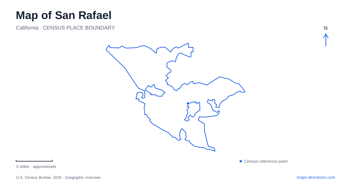
Street tiles load from OpenStreetMap when opened. The blue line shows the 2025 Census boundary.
- State
- California
- Population · July 2025
- 59,410
- Land area
- 16.6 sq mi
- Water area
- 6.0 sq mi
San Rafael has a compact downtown, a separate county civic campus and an eastern shoreline landscape that should not be collapsed into one destination. Fourth Street gives the commercial center its clearest spine. Civic Center Drive identifies a different cluster of public buildings, while North San Pedro Road leads toward China Camp and San Pablo Bay. Those three references provide a useful starting framework for a map of this varied Marin community.
Fourth Street and the mission blocks
The downtown business district follows Fourth Street and its side streets, extending toward the West End. Its mixture of older buildings, shops and places to eat makes the street a practical reference for a pedestrian visit. The district's shape is linear: following the main street reveals a sequence of blocks rather than one central square containing everything.
Fifth Avenue supplies a nearby historic reference. Mission San Rafael Arcángel is at 1104 Fifth Avenue, near A Street. The mission was established in 1817, but the chapel visitors see is a reconstruction, not a surviving original building from that date. Keeping the historic site and the modern structure distinct adds useful context to an architectural stop.
Fourth Street and Fifth Avenue therefore support different but complementary interests. One introduces the present-day commercial district; the other provides an anchor for examining an earlier layer of the community's history. A downtown map can keep both streets visible without implying that the mission stands directly on the principal shopping street. For a short visit, this relationship gives a more concrete plan than a general search for the city center.
Regional arrival and the downtown street pattern
The San Rafael SMART station is at 680 Third Street. The rail operator identifies the Bettini Transit Center one block away, giving the downtown area an important train-and-bus relationship. A rail arrival, a bus connection and a visit to Fourth Street are related activities, but they occupy separate parts of the central street network.
The downtown road system also includes directional streets. A city-filed transportation memorandum identifies Hetherton Street as southbound and Irwin Street as northbound, with links to Highway 101. Second Street carries eastbound traffic through the central area. Those patterns explain why a driving approach may differ from the apparent straight line between two downtown places.
For someone arriving regionally, the station address is a useful fixed point from which to understand the local blocks. Walking to a business district or transferring to a bus calls for a closer map view than the one used to follow the rail line through Marin and Sonoma counties. The transition between those scales is especially important around a transit hub beside major roads.
The county campus has its own geography
Marin County Civic Center stands at 3501 Civic Center Drive. Frank Lloyd Wright designed the complex, which includes the Administration Building, library and Hall of Justice. Its role is both architectural and practical: visitors may come to see the landmark or to use county services housed within it.
This campus is a separate destination from downtown San Rafael. SMART reinforces the distinction with its Marin Civic Center station at 3801 Civic Center Drive. The shared road makes the relationship easy to understand, while the different addresses preserve the separation between the rail stop and the county buildings.
An architecture-focused visit should therefore be organized around the campus rather than added casually to a downtown block walk. The long civic complex and its grounds require their own attention. Conversely, a county appointment should retain the particular building or office, since the landmark's broad identity does not identify every service within it.
Canal Street and the eastern bay landscape
Pickleweed Park and the Albert J. Boro Community Center occupy the Canal Street setting at number 50. This provides a community recreation reference distinct from both Fourth Street and the county campus. The park and center belong together geographically, so their names may describe different activities at the same local cluster.
Farther toward the bay, China Camp State Park introduces a landscape of tidal marsh, oak woodland and shoreline. The state identifies an approach east from Highway 101 along North San Pedro Road. The historic village preserves the story of Chinese shrimp fishing beside the bay, with commercial net fishing established there during the nineteenth century.
China Camp's geography makes the road approach part of the outing: the destination is a coastal park and historic village, not another downtown block. North San Pedro Road, Canal Street and Fourth Street each lead to a different kind of place. Reading a map of San Rafael through those distinctions allows the commercial center, neighborhood recreation, public architecture and bay history to retain their own identities.
Map and statistics: U.S. Census Bureau, 2025 Gazetteer, January 2025 generalized place boundaries and Vintage 2025 population estimates. Local references: Downtown San Rafael Business Improvement District; California State Parks; Library of Congress; Sonoma-Marin Area Rail Transit; City of San Rafael planning file; Marin County; City of San Rafael / California CEQAnet. Article prepared by Maps & Directions.