Map of San Marcos
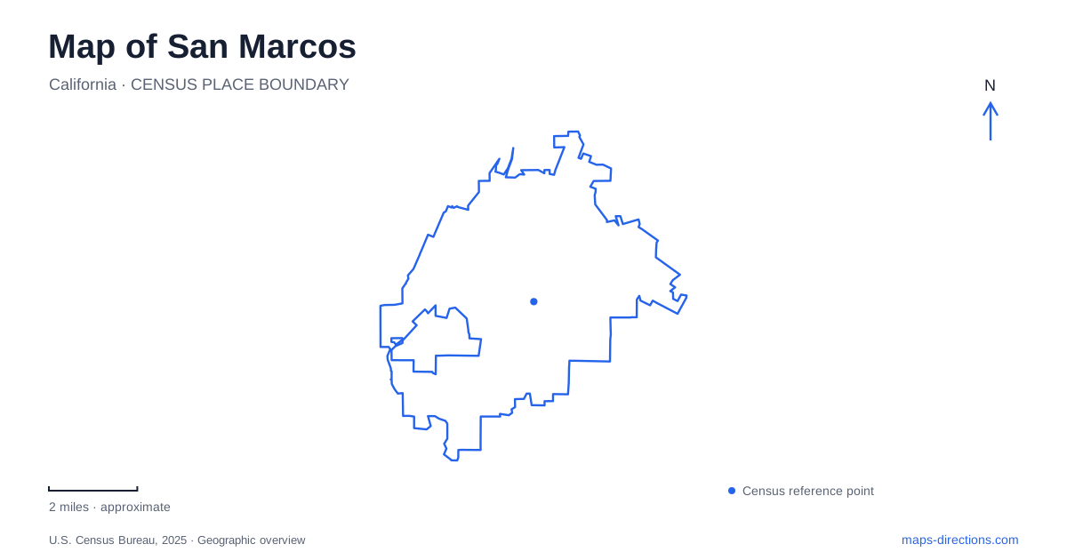
Street tiles load from OpenStreetMap when opened. The blue line shows the 2025 Census boundary.
- State
- California
- Population · July 2025
- 94,908
- Land area
- 24.6 sq mi
- Water area
- 0.0 sq mi
San Marcos, California, combines a rail corridor and university campuses with a markedly hilly recreation landscape. Highway 78 supplies the main regional road connection between Interstates 5 and 15, while Twin Oaks Valley Road provides an important approach to the university. West Mission Road organizes a different college setting. South of those institutional destinations, Discovery Lake and Double Peak introduce trails where elevation becomes as important as distance. These distinct settings give a local map much more structure than a list of attractions alone.
Three useful stops on the SPRINTER corridor
The Palomar College station is at 1142 West Armorlite Drive. San Marcos Civic Center station uses 40 West San Marcos Boulevard, and the Cal State station is at 410 La Moree Road. These addresses distinguish three rail arrival points serving different parts of the city. The college names are particularly helpful, because the two educational institutions occupy separate campuses.
NCTD identifies the Civic Center and Cal State stops as exceptions to the free parking available at other SPRINTER stations. For a journey involving a parked car and a train, that is a meaningful difference between nearby stations. It also emphasizes that the rail corridor is not one continuous park-and-ride facility. Individual stops have different relationships with surrounding roads, public buildings, and campus transport.
At the university stop, BREEZE Route 347 connects with campus locations including Barham Drive and La Moree Road, Craven Drive and Twin Oaks Valley Road, and Craven Circle. The bus route supplies a further layer between the railway and the academic buildings.
The university’s roads climb into campus
California State University San Marcos uses 333 South Twin Oaks Valley Road as its main address. Approaches from Highway 78 head south on Twin Oaks Valley Road. Barham Drive and Campus Way lead toward Campus View Drive and the parking structure, while Craven Road serves another side of the campus.
The university’s directions describe traveling uphill on Campus Way. That detail helps explain why its internal circulation cannot be understood simply as a flat continuation of the surrounding streets. Buildings, parking structures, and connecting walks occupy different levels. For example, the student union can be approached from the sixth-floor pedestrian connection of Parking Structure 1, illustrating how the campus uses elevation in its access system.
The names Twin Oaks Valley Road, Barham Drive, Campus Way, and Craven Road therefore provide a useful outline before examining a building-level map. They locate the principal approaches without confusing the campus with the rail station on La Moree Road.
Palomar’s botanical landscape
Palomar College stands at 1140 West Mission Road. Its Edwin and Frances Hunter Arboretum began in 1973 and occupies the eastern edge of the campus. Comet Circle provides an internal road reference near the arboretum, whose collections include palms, bamboo, and primitive plants.
The institution treats its entire campus as part of the arboretum, so botanical interest extends beyond the main garden trails. This creates a distinctive educational landscape: a walk among academic buildings can also pass named plant collections. The principal arboretum paths are wheelchair accessible, and admission to the garden is free, although campus parking requires a permit.
For a San Marcos visit centered on plants, this is a different experience from a mountain hike. The arboretum is a cultivated collection within an active college, with specimens chosen and maintained for observation and teaching. Double Peak’s appeal instead depends on the larger terrain and the climb through it.
From Discovery Lake to Double Peak
Lakeview Park at 650 Foxhall Drive provides a starting point for Discovery Lake outings. Municipal trail programs have used it for both a gentle interpretive lake walk and a five-mile round-trip hike to Double Peak with approximately 1,000 feet of elevation gain. Those two routes demonstrate the range of activity available from the same general area.
Double Peak Park has a road address at 900 Double Peak Drive. Its facilities include an amphitheater, picnic space, a telescope, and trail connections. Reaching the park by road and hiking up from the lake are consequently different ways of experiencing the same high point. The map should be read with both the access road and the climbing trail visible.
Discovery Lake, South Lake, and the Ridgeline Trail are also separate names in the local recreation network. The city organizes different walking, cycling, and equestrian outings around them. Keeping those names distinct makes the hills more legible: the lake walk, the summit climb, and a ride along a ridge each follow a different relationship with the landscape.
Map and statistics: U.S. Census Bureau, 2025 Gazetteer, January 2025 generalized place boundaries and Vintage 2025 population estimates. Local references: North County Transit District; CSUSM; Palomar College; City of San Marcos. Article prepared by Maps & Directions.