Map of San Luis
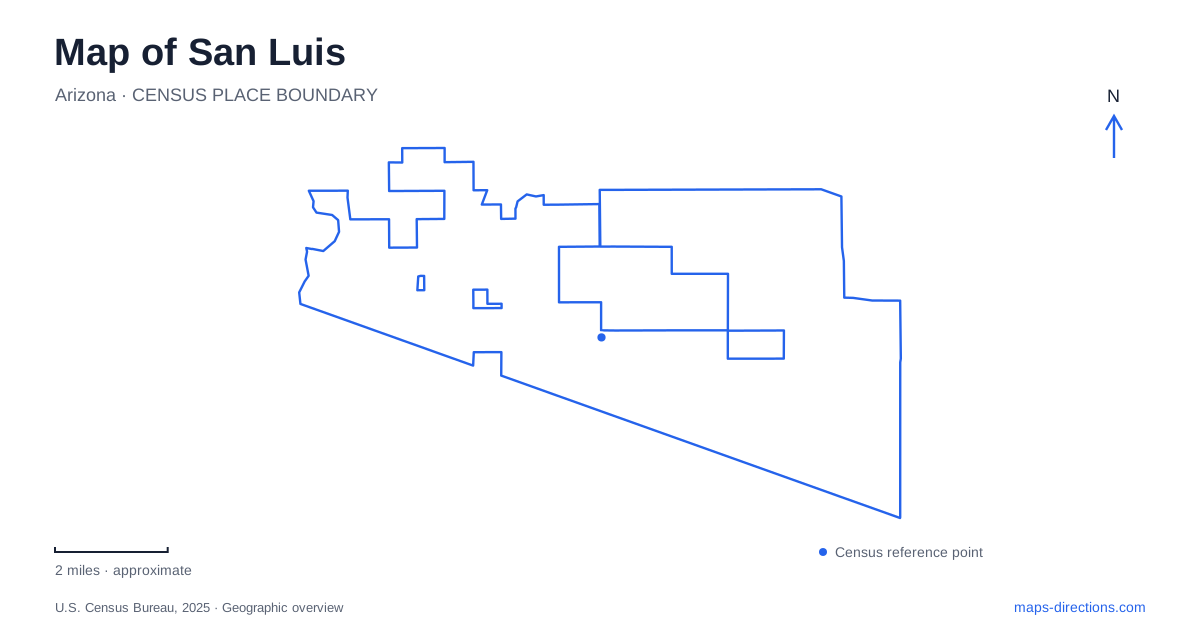
Street tiles load from OpenStreetMap when opened. The blue line shows the 2025 Census boundary.
- State
- Arizona
- Population · July 2025
- 42,030
- Land area
- 33.8 sq mi
- Water area
- 0.1 sq mi
San Luis occupies a distinctive corner of Arizona where an international boundary, a desert mesa and an agricultural valley meet. Its map is shaped by movement across the border, but the city's everyday geography also includes cultural facilities, sports grounds and residential neighborhoods. The most useful starting distinction is between the central passenger crossing and the commercial port farther east. A second is between the higher ground of the original settlement and the lower valley toward the Colorado River.
A border community with two neighboring cities
The Arizona municipality incorporated in 1979, although the border community existed much earlier. Across the international line lies San Luis Río Colorado in Sonora. The two cities share cultural and economic relationships, while their streets and services operate within different national jurisdictions. A regional map therefore needs both sides to explain the urban setting, even when a particular trip stays entirely in Arizona.
The border is more than a line at the edge of town. It creates specific gateways through which cross-border movement is concentrated. Retail streets, pedestrian approaches and inspection facilities consequently form a different pattern from the continuous local street connections found between many neighboring American communities. The city's southern edge is a transportation focus as well as a municipal limit.
Passenger travel and the commercial port
San Luis I is the noncommercial port associated with privately owned vehicles and pedestrians. Commercial traffic moved to the separate eastern crossing in 2010. That change allowed the older port to concentrate on passenger movements rather than mixing them with freight processing in the same facility.
San Luis II serves the commercial crossing to the east. Avenue E and State Route 195 connect this logistics area with the regional road network toward Interstate 8. The separation creates two distinct transportation geographies: one tied to the central border district and daily personal travel, the other organized around truck access and industrial activity. A map label containing only the shared place name obscures that practical difference.
The passenger port's modernization plans distinguish northbound vehicle lanes, processing buildings and pedestrian facilities. Those elements serve different movements across the border, so a design drawing is not a substitute for traveler guidance. Use federal port information to establish the appropriate lane and approach for the intended crossing. That distinction remains useful as facilities change, because an older aerial image can show a plausible street arrangement without explaining operating procedures.
The mesa edge and the lower valley
The original settlement occupied the western edge of the Yuma Mesa. The city's general plan describes an escarpment rising roughly 60 feet above the Yuma Valley. This is a meaningful topographic break even though much of the surrounding landscape appears broadly flat on a regional road map. A terrain view helps explain the transition between higher developed ground and lower agricultural land.
The valley's soils include alluvial material deposited in the Colorado River landscape. Land between the East Main Canal and the river has supported agriculture, while the mesa has a different surface character, including windblown sand. These are not simply different colors on a satellite image. They reflect differences in elevation, deposits and water management that have influenced how land is used.
The river valley also gives the western side of the map a regional connection beyond the city streets. Agricultural parcels and canals belong to a larger working landscape. Reading them alongside the urban blocks helps explain why development and cultivated land can sit close together without following the same street pattern.
Main Street and community recreation
The Cesar Chavez Cultural Center stands at 1015 North Main Street. Its art, music, dance and fitness programs give Main Street a civic and cultural role alongside its transportation and commercial functions. This is a specific community destination within the developed city, not an attraction located inside either border inspection complex.
Joe Orduño Park provides another community focus. Municipal maintenance records locate its sports grounds at 965 Park Avenue, and the park system's inventory identifies baseball and softball fields, soccer facilities, tennis courts and a pool. The combination explains the large organized recreation footprint visible among nearby streets. Parks administration has a separate address at 744 East Cesar Chavez Boulevard, a useful distinction when a search result displays a departmental contact instead of the playing grounds.
A map of San Luis becomes clearer when these relationships are read together. Main Street carries everyday civic activity near the central border district, the eastern highway connection supports commercial movement, and the mesa edge separates urban ground from the lower valley landscape. Parks and cultural facilities complete that picture by showing where local life occurs between the larger regional routes.
Map and statistics: U.S. Census Bureau, 2025 Gazetteer, January 2025 generalized place boundaries and Vintage 2025 population estimates. Local references: City of San Luis; U.S. General Services Administration; Arizona Department of Transportation. Article prepared by Maps & Directions.