Map of San Luis Obispo
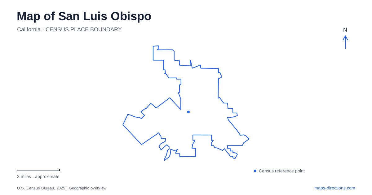
Street tiles load from OpenStreetMap when opened. The blue line shows the 2025 Census boundary.
- State
- California
- Population · July 2025
- 50,636
- Land area
- 13.6 sq mi
- Water area
- 0.1 sq mi
San Luis Obispo has a downtown organized around a creek, a separate railroad district, and a ring of hills that repeatedly reappear in views between buildings. Mission Plaza supplies the clearest central reference. Monterey and Palm streets identify the historic civic area, while Railroad Avenue marks a different part of the city's development. Reading those places alongside the surrounding open spaces gives a fuller picture than treating the city as a single cluster of downtown attractions.
Mission Plaza and the creek setting
Mission Plaza follows the creek below Mission San Luis Obispo de Tolosa. This arrangement makes the waterway part of the public center rather than a distant boundary. The plaza's paths and gathering spaces relate to the mission, surrounding streets, and creek edge, so a short walk here passes through several types of urban space within a compact area.
The city's enhancement project included new public restrooms, repairs to the Murray Adobe, improved lighting, and a café kiosk. Municipal construction is reported complete, while the kiosk area remains subject to tenant improvements before opening. The useful distinction is between the established public plaza and an individual facility whose operation follows a separate schedule.
The History Center Museum, in the former Carnegie Library at 696 Monterey Street, adds another architectural landmark to this setting. Its building and exhibits connect the immediate downtown streets with the broader county's history. A plaza visit and a museum visit can therefore complement one another without assuming that all historical interpretation takes place inside the mission.
Historic districts have different identities
The city's Chinatown Historic District recognizes the Chinese community's contribution to local development. It is one of several designated districts, each preserving a different aspect of the built environment. Old Town's boundaries generally follow Pacific and Islay streets to the north and south, and Santa Rosa and Beach streets to the east and west. This places residential history in a defined relationship to the commercial and railway areas.
At 1185 Pacific Street, the Dallidet Adobe and Gardens provides a particularly useful domestic landmark. Pierre Hypolite Dallidet built the adobe in the 1850s, and it remained associated with his family for more than a century. Paul Dallidet transferred the property to the historical society in 1953. Its gardens and house preserve an enclosed household setting distinct from the open civic space at Mission Plaza.
For a map of San Luis Obispo, these districts and properties supply more than a list of old buildings. They show how public institutions, family homes, and communities with different histories occupied neighboring parts of the city.
The railroad district follows the former yard
The Railroad Historic District's boundaries reflect the Southern Pacific yard, extending along the railway corridor between the Johnson Avenue and Orcutt Road areas. Broad Street and Leff Street help define its western and northwestern edges. The district sign's 1894 date refers to the arrival of the first Southern Pacific train from the north.
The railroad museum occupies the former Southern Pacific freight house built that year. Freight houses handled shipments too small to fill a complete railcar, transferring goods between trains and local wagons or trucks. That function explains why the building belongs beside the tracks and why its historical role differs from a passenger depot.
Passenger rail continues at the station at 1011 Railroad Avenue. The active station and preserved freight building make this district especially informative: visitors can see both the present transportation use and the older infrastructure that supported regional commerce. San Luis Obispo's railway story remains attached to the working corridor rather than being presented entirely apart from it.
Hills give the street map a larger frame
Bishop Peak, Cerro San Luis, Terrace Hill, and Righetti Hill form distinct open-space destinations. They should be located individually because each has its own approaches and trail system. The city publishes separate maps for these areas, making it possible to choose a particular landscape rather than simply searching for the nearest patch of green.
Righetti Hill illustrates the importance of reading trail purpose as well as terrain. Its Quarry Trail is for hiking and climbs toward the summit, while Roadrunner Roundabout circles the hill and accommodates both hiking and biking. Views include other prominent hills and Edna Valley, helping relate the urban streets to their broader setting.
A map of San Luis Obispo becomes especially revealing when the creekside civic center, domestic historic places, rail corridor, and hill trails are considered together. Their different shapes explain the city's character: compact downtown blocks give way to transportation land, while open-space slopes supply the horizon and a separate network of outdoor routes.
Map and statistics: U.S. Census Bureau, 2025 Gazetteer, January 2025 generalized place boundaries and Vintage 2025 population estimates. Local references: City of San Luis Obispo; History Center of San Luis Obispo County; San Luis Obispo Railroad Museum. Article prepared by Maps & Directions.