Map of San Leandro
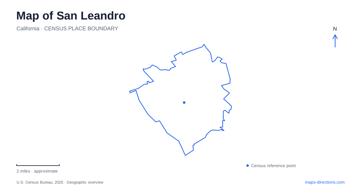
Street tiles load from OpenStreetMap when opened. The blue line shows the 2025 Census boundary.
- State
- California
- Population · July 2025
- 85,353
- Land area
- 13.3 sq mi
- Water area
- 2.2 sq mi
San Leandro has more than one useful center of orientation. The BART stations serve different local settings, Estudillo Avenue brings civic and historic destinations into view, and the bayside parks use their own approach roads. These places connect through the wider city, but each explains a different part of its geography. A clear map separates the downtown, Bay Fair and shoreline contexts before drawing routes between them, particularly where a transportation facility sits close to a municipal boundary.
Two BART stations frame different destinations
BART lists the city-named station at 1401 San Leandro Boulevard and Bay Fair Station at 15242 Hesperian Boulevard. The latter is associated with Bayfair Center. These are distinct rail stops with different street addresses, so the best choice depends on the destination beyond the train rather than simply whether a station appears within the same city label.
Bay Fair is also an unusual jurisdictional setting. BART explains that its property is divided between the city and Ashland in unincorporated Alameda County. The rail site therefore crosses an administrative boundary even though passengers experience it as one station area. This helps explain why local planning documents can involve both municipal and county agencies without describing two different transportation hubs.
Tracks divide the Bay Fair station setting
BART's bicycle-access study describes Union Pacific tracks running beside the elevated transit tracks and separating the station area's sides. Thornally Drive passes beneath the railroad to connect them. This is a more useful local detail than the simple distance between two pins: the crossing arrangement helps determine how a person moves through the station surroundings.
For a San Leandro transit trip, the regional rail diagram and local access map serve complementary purposes. The first explains the train journey; the second identifies the street side, bus connection or bicycle approach. Bay Fair demonstrates why a station drawn as a single dot can conceal a substantial arrangement of tracks, entrances and surrounding roads. The relevant crossing is part of the trip, not a detail to discover only after arrival.
Estudillo Avenue holds civic and historical references
The city's activity guide places the main library at 300 Estudillo Avenue. Casa Peralta stands at 384 West Estudillo Avenue, according to the municipal historic-house page. Keep the “West” in the latter address: similar street wording does not make the two destinations the same place. Together, these addresses provide concrete references for central San Leandro.
Casa Peralta's Spanish-style remodeling and decorative tiles connect the site with an earlier historical layer. Its presence on the map is useful independently of interior visiting arrangements, which should be checked with the city before an outing. Do not treat a historic-site symbol as an assurance that a tour can be taken. The location is enduring, while visitor access can change independently of the map.
Oyster Bay uses Neptune Drive
Oyster Bay Regional Shoreline is listed at 1600 Neptune Drive, just south of Oakland International Airport. The regional park district's road approach runs west from Interstate 880 on Marina Boulevard, then along Neptune Drive to the park entrance. The district separately identifies the Bill Lockyer Bridge as a walk-in entrance. These are different ways of reaching the same recreation landscape.
Within the park, perimeter paths and interior routes provide contrasting views. The district identifies a bayside loop and an interior viewpoint associated with Roger Berry's Rising Wave sculpture. This gives an outing a more specific shape than a generic “waterfront walk”: a visitor can distinguish the open bay edge from the routes leading toward the interior viewing area. The park boundary alone does not convey that internal arrangement.
Marina Park and the southern shoreline form another approach
Marina Park uses 14001 Monarch Bay Drive. The city describes picnic and play areas, open lawn and a recreation course there. Its shoreline overview identifies a paved-and-gravel trail continuing south toward Hayward Regional Shoreline, as part of the larger Bay Trail system. This is a separate address framework from Oyster Bay's Neptune Drive approach, although both belong to the broader bayside landscape.
For San Leandro map reading, the key distinction is between the continuous regional idea of the shoreline and the specific public entrances that make it usable. Neptune Drive, Monarch Bay Drive and the rail-station streets are not interchangeable arrival references. Preserve the appropriate road with each destination, then connect the selected stops. The resulting map reflects the city's actual organization: multiple transport nodes, a civic and historic core, and recreation corridors shaped by the bay.
Map and statistics: U.S. Census Bureau, 2025 Gazetteer, January 2025 generalized place boundaries and Vintage 2025 population estimates. Local references: BART; City of San Leandro; East Bay Regional Park District. Article prepared by Maps & Directions.