Map of San Jose
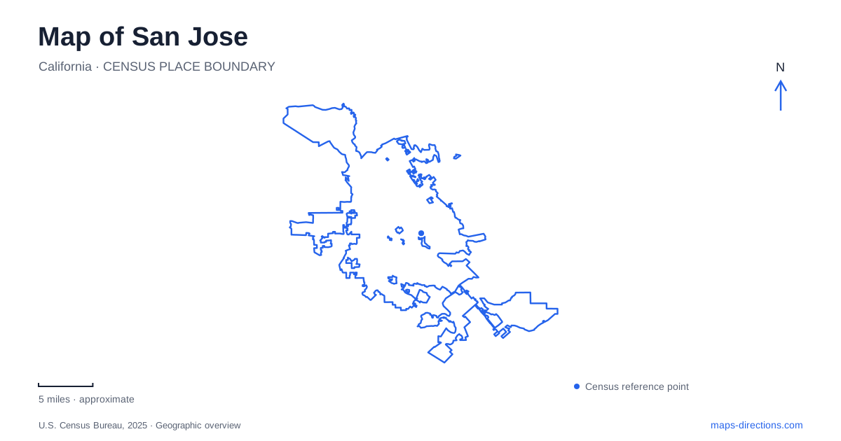
Street tiles load from OpenStreetMap when opened. The blue line shows the 2025 Census boundary.
- State
- California
- Population · July 2025
- 989,814
- Land area
- 177.9 sq mi
- Water area
- 3.1 sq mi
San Jose is a useful place to distinguish a connected regional network from a continuous local route. Rail lines, airport buses and long river trails all appear on its maps, but they do not connect in the same way. An airport station can require a bus transfer, and a trail with one name can contain disconnected sections. Recognizing those details makes the map more useful than simply finding the nearest transport symbol or following a river line toward downtown.
Downtown and Japantown provide separate anchors
The visitor bureau presents downtown, Japantown and Santana Row as distinct destinations within the city. Each name narrows the search to a different area rather than describing the whole municipality. The Japantown Business Association locates its neighborhood north of City Hall. That gives a practical relationship to use when comparing a downtown stop with a visit to the district.
For a San Jose itinerary, retain the specific business or venue beneath the neighborhood name. A district label can cover multiple streets and should not be mistaken for one entrance. If several people are meeting, share a named public location and its street address rather than an automatically chosen district pin. This also keeps the intended destination stable when switching between a walking route and a driving route.
The airport rail connection includes a bus
The airport identifies VTA Route 60 as the connection from its terminals to Metro/Airport light rail station. The name of that station does not mean that a train platform is inside the terminal building. Plan the airport-to-bus and bus-to-rail stages explicitly, and preserve the correct terminal with the arrival details. The terminal letter matters even when both terminals appear close on the regional overview.
VTA's Route 60 page lists a corridor connecting Milpitas BART and Winchester Station through the airport, with other stops including Santa Clara Transit Center and Coleman at Earthquakes Way. These are separate transfer or destination points. Choose the direction serving the intended onward connection rather than assuming that any Route 60 departure performs the same journey. Consult the live operator information for the actual boarding location, especially when a stop relocation notice is posted.
Use the operator map for the transfer, the street map for the walk
A San Jose airport trip may involve the regional rail network after the bus connection. The useful question is which interchange serves the final destination, not simply which rail line appears nearest to the airport boundary. A schematic transit map explains the sequence of services; a detailed street map explains the walk between a stop and the eventual address.
Keep both scales available when arranging a trip to a venue. For example, the Route 60 stop list identifies Coleman and Earthquakes as a distinct stop rather than a generic airport location. Matching such a named stop to the venue's visitor guidance is more precise than leaving the itinerary at the level of a regional line. The route's presence on a map should not be read as a promise of a particular departure time.
The Guadalupe trail is not one uninterrupted line
The city describes the Guadalupe River Trail as two disconnected systems. Its northern and central portion connects Gold Street in Alviso with Virginia Street near southern downtown. A separate southern portion runs between Chynoweth Avenue and Coleman Road, connecting toward the Lake Almaden and Los Alamitos Creek systems. Those endpoints are important facts for anyone tracing the river on a broad map.
For San Jose trail planning, confirm which section contains the intended start and finish before assuming the same trail name guarantees a continuous off-street journey. A proposed future connection, a street segment and an existing trail are different kinds of map information. The city's trail directory explicitly labels some routes as future trails that are not open. That makes the directory a useful companion to a map that may display planning layers alongside developed paths.
Through routes and park paths have different purposes
Within Guadalupe River Park, the city explains that meandering paths may lead to points of interest or dead ends. It identifies a yellow center line as the through-route guide between Highways 280 and 880. This distinction matters for someone traveling through the park rather than stopping to explore it. The most visually inviting branch is not necessarily the continuation toward the intended exit.
The same broader network includes Coyote Creek and Los Gatos Creek trails, each associated with its own corridor. Choose the named waterway and segment, then inspect the actual access point. Treat a whole trail system as a network to understand, not a single destination to reach. That approach is more useful for both a short recreational visit and a longer journey that depends on uninterrupted connections.
A San Jose map becomes reliable planning material when the unresolved connections are made explicit: terminal to bus, bus to rail, neighborhood to exact address, and one developed trail section to the next. These checks preserve the city's real geography without inventing a shortcut across a trail gap or assuming that similarly named transport points occupy the same place.
Map and statistics: U.S. Census Bureau, 2025 Gazetteer, January 2025 generalized place boundaries and Vintage 2025 population estimates. Local references: Visit San Jose; Japantown Business Association; San Jose Mineta International Airport; VTA; City of San Jose. Article prepared by Maps & Directions.