Map of San Diego
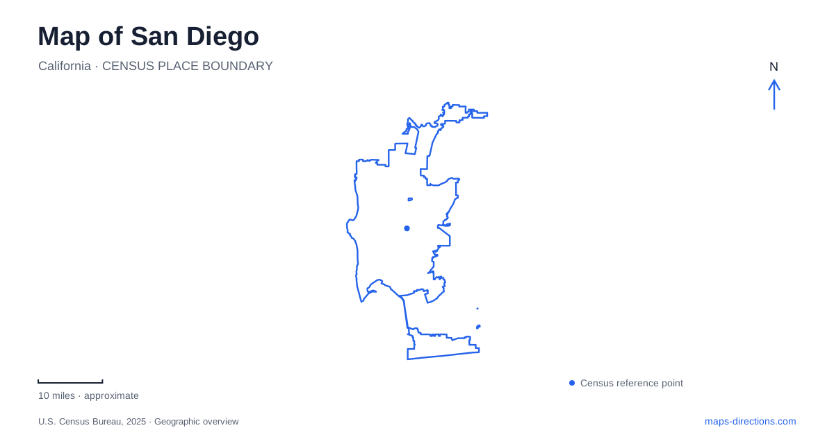
Street tiles load from OpenStreetMap when opened. The blue line shows the 2025 Census boundary.
- State
- California
- Population · July 2025
- 1,406,106
- Land area
- 326.0 sq mi
- Water area
- 16.2 sq mi
San Diego's coastline does not behave like one continuous downtown waterfront. La Jolla, Mission Beach, Mission Bay and Point Loma occupy different coastal settings, while Balboa Park has its own inland network of cultural destinations and paths. A useful map preserves those distinctions. Selecting a named beach, park facility or peninsula destination gives a route a meaningful endpoint; selecting the whole coast leaves too much of the journey unresolved.
Mission Beach and Mission Bay describe different settings
The city's beach-area map separates the narrow Mission Beach strip from the larger Mission Bay Park area inland of it. It also distinguishes Pacific Beach, Ocean Beach, La Jolla and Torrey Pines. These labels are useful starting points for sorting an itinerary, particularly when several search results contain similar words. A bay-side meeting point and an ocean-facing beach destination should not be assumed to use the same approach.
For a San Diego coastal outing, choose the actual beach or facility and inspect the nearby access streets. The city notes that Torrey Pines State Beach lies within its limits but is owned by the state. Municipal geography and operating responsibility therefore do not always match. Use the map to locate the place, then consult the organization responsible for that particular shoreline destination for its visitor details.
Balboa Park needs an internal map
Balboa Park's cultural map contains much more than a single park entrance. El Prado, Plaza de Panama, the Botanical Building and Lily Pond, the Japanese Friendship Garden, the organ pavilion and numerous institutions form distinct destinations. The map also identifies parking, tram stops, bus stops, trail gateways and visitor information. These symbols describe how to reach the attractions rather than merely where they sit within the green area.
A museum visit should therefore begin with the institution's location, followed by an appropriate approach. Do not select a parking area solely because it appears near the park's center on a city overview. Compare its connection with the actual museum entrance and the intended walking route. The park map is particularly useful for seeing when a named garden, pavilion or cultural building is the best meeting point for people arriving separately.
Keep the cultural district distinct from other park areas
The detailed park map places Morley Field, Florida Canyon, the zoo entrance and the central cultural buildings in separate parts of the larger park. A general Balboa Park result can conceal those differences. Someone going to a sports facility and someone visiting a museum may need different arrival streets even though both describe their destination with the same park name.
On a San Diego itinerary, preserve the specific facility beneath the broader park heading. That makes a later change of parking or travel mode easier to understand: the destination stays fixed while its approach changes. Current parking arrangements should be checked separately, since the park's visitor information describes an active paid-parking program. A permanent map label does not establish a current parking price or a particular lot's availability.
Point Loma leads to a peninsula destination
Cabrillo National Monument occupies the southern tip of Point Loma. The National Park Service's road directions use Catalina Boulevard, also identified as Cabrillo Memorial Drive, for the final approach through the peninsula. This is different from navigating to a general waterfront point. The destination lies at the end of a defined approach, and the surrounding military and cemetery areas are part of the geographic context rather than alternative visitor routes.
For San Diego visitors comparing landmarks across the water, the peninsula shape is especially important. A close-looking viewpoint across the bay does not imply a short direct road connection. Follow the actual peninsula approach on the map rather than inferring access from the distance between two shoreline icons. The overview explains why the route goes around; the monument's own directions explain the final entrance.
The tidepools are below the main visitor area
The National Park Service distinguishes the visitor-center area from the tidepools on the western side of the monument. Its directions note that the bus stop serves the visitor-center complex rather than the tidepool area. A trip planned around public transportation therefore requires a specific check of the intended destination within the park, not just confirmation that a bus reaches the monument.
The park also warns that cellular service is unavailable at the tidepools and advises arranging a rideshare pickup in advance when using that mode. Save the relevant arrival and return details before descending. This is a concrete example of why a map pin alone is insufficient: it identifies a place but does not establish communications or a return arrangement from that place.
A San Diego map works best when it separates the coast into named areas, resolves Balboa Park to a particular facility, and distinguishes the upper monument from its lower shoreline. Those geographic decisions make an itinerary usable before any turn-by-turn instructions are considered.
Map and statistics: U.S. Census Bureau, 2025 Gazetteer, January 2025 generalized place boundaries and Vintage 2025 population estimates. Local references: City of San Diego; Balboa Park; National Park Service. Article prepared by Maps & Directions.