Map of San Clemente
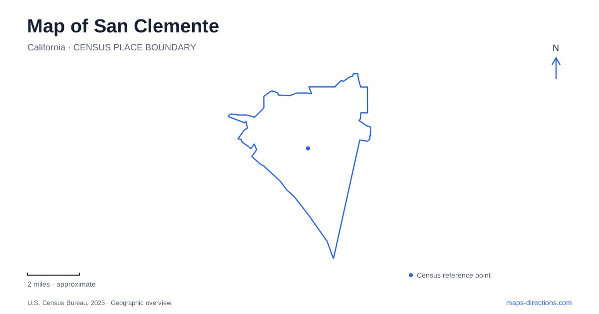
Street tiles load from OpenStreetMap when opened. The blue line shows the 2025 Census boundary.
- State
- California
- Population · July 2025
- 62,226
- Land area
- 18.3 sq mi
- Water area
- 0.0 sq mi
San Clemente has a coastline where the beach, railway and pedestrian trail run close together without forming one freely interchangeable route. The pier is a prominent landmark, North Beach has a separate rail arrival, and T-Street and Calafia identify other access areas. A street map viewed from above can make these destinations look easier to connect than they are for a particular traveler. The useful details are the designated crossings, the type of beach access and the correct station or parking approach.
The beach trail explains the sequence of places
The city describes its Beach Trail as connecting North Beach with Calafia Beach, passing the pier and T-Street along the way. This provides a practical north-to-south sequence for understanding the shoreline. It is a recreational connection with its own rules and access points, not simply another name for walking anywhere beside the railway or along the sand.
For a San Clemente coastal outing, choose the intended starting point before deciding how far to continue. A route beginning near the pier describes a different arrival from one starting at North Beach. Keep the trail connection visible separately from the street approach. The map may show both close together, but the actual transfer between road, path and beach occurs at a designated location rather than wherever the lines appear to touch.
Stairs change the meaning of nearby
The municipal beach directory identifies stair access at places including Dije Court, El Portal, Mariposa, T-Street and Lasuen. It distinguishes other access arrangements at North Beach, Linda Lane and the pier. These are consequential differences for someone carrying equipment, traveling with a stroller or choosing a route to suit mobility needs.
A short straight-line distance from a street to the sand is therefore not enough information. Look for the published access type and the appropriate route, and check current accessibility information for the particular destination. An attractive beach pin might be below a bluff while the road remains above it. The map should explain the connection between those levels, rather than leave the final descent as an assumption.
Two station names describe separate arrivals
Metrolink lists San Clemente and San Clemente Pier as distinct stations. The city's beach information associates train access with both North Beach and the pier area. Retaining the word Pier in an itinerary is essential: the two station names are not alternate spellings for a single platform.
Before meeting a passenger, confirm the stop shown in the actual journey plan and use that station's arrival information. The coastal trail can help explain how the two areas relate, but it should not be used to dismiss a mistaken station choice as immaterial. Train service, stopping patterns and access conditions need a current operator check. A regional rail map establishes locations; it does not guarantee that a particular departure calls at both.
The railway is a boundary with designated crossings
The city instructs trail users to use designated railroad crossings and prohibits entry into the rail corridor. Its coastal planning material explains that different sections of the trail lie on different sides of the tracks. This is why the railway cannot be treated as a line to step across at the nearest convenient point.
When examining a route between the street, trail and beach, locate the crossing or underpass that actually serves the destination. A diagram showing parallel lines cannot establish an informal shortcut. Keep the marked route even when the destination is visible beyond the tracks. This is a practical access issue throughout the coastal strip, rather than something relevant only at a train station.
State beach and city facilities have different operators
California State Parks distinguishes its state-beach area from the city-managed sand to the north, including the pier and T-Street, and notes the municipal role in maintaining the Beach Trail along Calafia. The shared coastline therefore contains facilities managed through different systems. A city parking reference should not automatically be applied to a state-park visit or campground plan.
For a San Clemente trip, match the intended beach or facility with its operator's current instructions. Begin with North Beach, the pier, T-Street or the state-beach destination as a specific anchor; then identify the correct station, street approach and designated crossing. The coastal sequence is simple to recognize, but a useful map retains the differences in access that determine how each visit actually begins.
Map and statistics: U.S. Census Bureau, 2025 Gazetteer, January 2025 generalized place boundaries and Vintage 2025 population estimates. Local references: City of San Clemente; Metrolink; California State Parks. Article prepared by Maps & Directions.