Map of San Buenaventura (Ventura)
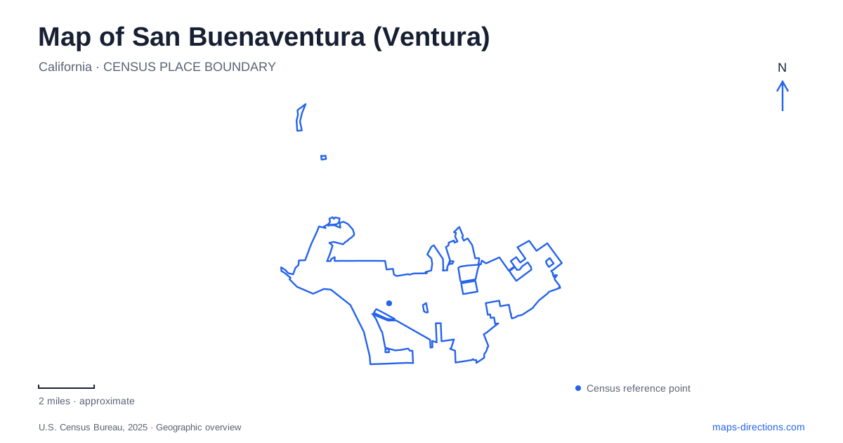
Street tiles load from OpenStreetMap when opened. The blue line shows the 2025 Census boundary.
- State
- California
- Population · July 2025
- 109,914
- Land area
- 21.9 sq mi
- Water area
- 10.4 sq mi
San Buenaventura (Ventura) combines a historic downtown below the hills with several distinct coastal settings. The official city name and its familiar shortened form describe the same municipality, whose mission was established in 1782. On a map, Main Street, the oceanfront promenade, and Spinnaker Drive provide three different organizing lines. One runs through the older commercial center, another connects downtown shoreline landmarks, and the third serves the harbor. Following their separate roles reveals more of the city than treating every coastal destination as part of one beach district.
Main Street below the civic hillside
The downtown map of San Buenaventura (Ventura) is anchored by a compact group of named streets: Main, Santa Clara, Thompson, and Poli run through the historic area, while Figueroa, Palm, Oak, California, and Chestnut help locate its individual blocks. The municipal historic walking guide places Mission Park, Foster Library, Plaza Park, and City Hall within this network. These landmarks make it possible to read the center as a connected neighborhood with several civic and commercial focal points.
City Hall occupies the former county courthouse at 501 Poli Street. Completed in 1913, the building is part of a downtown architectural mixture that also includes brick storefronts, Victorian houses, and Spanish Revival buildings. Its uphill setting gives the civic center a different position from the commercial blocks along Main Street. California Street is particularly useful when comparing the downtown map with the waterfront because its name appears in both the historic street network and the approach to the promenade.
At 16 North Oak Street, the 1904 former bank building supplies another precise historical reference. The city's walking guide identifies an upstairs office as Erle Stanley Gardner's first local law office in 1915. Such details make individual intersections legible: Oak and Main represent a specific commercial setting, rather than an arbitrary point within an undifferentiated old town.
The pier and the western promenade
The downtown shore of San Buenaventura (Ventura) centers on the pier and Surfers Point. The pier dates to 1872, linking the modern recreational waterfront to the city's maritime past. An oceanfront walking and cycling promenade connects it with Surfers Point, reached from Figueroa Street near the county fairgrounds. Promenade Park also commemorates an ancient Chumash village site, adding a much older layer to this shoreline landscape.
The city's beach information describes the promenade continuing east into the state beach area and ending at San Pedro Street. At its western end, a cycling connection leads toward Ojai. Those two directions distinguish a short waterfront outing from a longer regional ride. They also explain why a coastal path map can show connections extending beyond the pier without implying that every beach is served by one uninterrupted promenade of identical character.
Pierpont and the harbor mouth
Marina Park provides a separate beachfront reference at the southern end of Pierpont Boulevard. Its approximately 15 acres include picnic areas, play facilities, and views of boats passing through the harbor entrance. The city identifies the adjoining municipal beach segment as extending from Marina Park to Camden Lane. This neighborhood shoreline belongs to a different access pattern from the Figueroa Street and downtown promenade area.
For San Buenaventura (Ventura), the harbor map becomes clearest when Spinnaker Drive is treated as its own destination corridor. The Port District's beach descriptions locate Harbor Cove at the western end of that drive, opposite the national park visitor center. South Beach lies between Harbor Cove and Surfer's Knoll, with dunes and breakwaters defining its setting. Surfer's Knoll faces the ocean near the Santa Clara River mouth, across from the harbor village. These named beaches occupy related but distinct positions around the harbor's seaward edge.
A mainland gateway to offshore islands
The Robert J. Lagomarsino Visitor Center stands at 1901 Spinnaker Drive. National Park Service exhibits introduce the individual islands and their marine environment, making the building a mainland orientation point for Channel Islands National Park. Its address is not an island destination; it identifies the place where offshore geography can first be understood from shore.
The harbor village combines waterfront businesses with marinas and commercial fishing activity. Its walking areas face a working harbor as well as recreational boats, giving this coastal district a character different from Main Street or the pier. A complete map of San Buenaventura (Ventura) therefore holds several histories together: the mission-era center, later courthouse and commercial blocks, the established oceanfront pier, and the harbor's connections to fishing and the islands.
Map and statistics: U.S. Census Bureau, 2025 Gazetteer, January 2025 generalized place boundaries and Vintage 2025 population estimates. Local references: City of Ventura; Ventura Port District; National Park Service. Article prepared by Maps & Directions.