Map of San Antonio
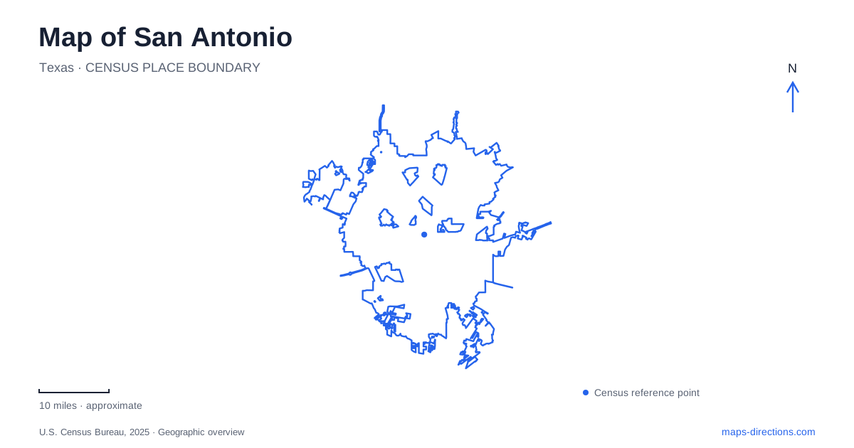
Street tiles load from OpenStreetMap when opened. The blue line shows the 2025 Census boundary.
- State
- Texas
- Population · July 2025
- 1,548,422
- Land area
- 499.0 sq mi
- Water area
- 5.7 sq mi
San Antonio's river gives a visitor map an organizing line, but the familiar River Walk name covers several different settings. Museum Reach extends north from downtown toward cultural destinations and Pearl. The downtown section serves a compact collection of visitor attractions, while Mission Reach leads south toward the historic missions. Choosing a named reach is therefore the first useful decision. It tells a map search much more than a request to visit the river in general.
Follow the reach that fits the outing
Museum Reach is associated with museums, public art and the approach to Pearl. Its official visitor guide identifies the Tobin Center among the cultural destinations along this northern corridor. If those are the intended stops, keep them together on the same detailed map. A riverfront itinerary built around them has a different geographic focus from one aimed at the missions south of the center.
A San Antonio map should show that distinction clearly before a route is calculated. A river corridor can be continuous while the destinations along it remain separated by substantial stretches of travel. Select a specific museum entrance, meeting point or district rather than relying on the default point attached to the whole River Walk. This is particularly useful when another traveler has saved a different result under the same broad name.
The Alamo is a separate arrival decision
The Alamo's visitor guidance identifies a drop-off location on Houston Street at Avenue E. That is a street-level arrival instruction, not simply a landmark location. Keeping it with the itinerary helps distinguish being dropped off from approaching on foot from elsewhere in the center. A route to the most recognizable building outline may omit the practical place where a vehicle should arrive.
The site also includes outdoor grounds and the surrounding plaza, so a saved meeting point should identify more than the word Alamo when a group arrives separately. Use the location specified by the venue for the particular visit or reservation. A city map provides the context, while current site guidance resolves the final approach. Avoid assuming that every edge of a plaza or landmark block offers the same entrance or admission arrangement.
Four missions occupy separate sites
The National Park Service lists its four missions from north to south as Concepción, San José, San Juan and Espada. They are separate destinations rather than four buildings around one courtyard. Their addresses reinforce this geography: Concepción uses Mission Road, San José uses San Jose Drive, San Juan uses Graf Road and Espada uses Espada Road. Retain the full mission name when requesting directions.
For San Antonio mission visits, the distinction between the park's visitor center and its administrative headquarters matters too. The visitor center is at Mission San José, at 6701 San Jose Drive. A general search for the park organization could instead surface an office address. Confirm that the result is the intended visitor facility or mission site before treating it as the starting point for an excursion.
A trail connection does not replace the road route
Mission Reach provides a walking and cycling connection to the four missions. The National Park Service describes a different landscape from the downtown River Walk. That means a visitor should not project expectations of the central restaurant-lined setting onto every southern segment. Use the trail map to understand the river connection and the individual site map to understand entry into each mission.
Someone driving between sites needs the road address of each stop, while someone cycling needs the trail connections and the appropriate place to leave the route for the mission. These are related but different itineraries. A map that shows a continuous line beside the river does not establish that a car can follow it, and a driving route does not describe the experience of the intervening trail.
Plan a sequence rather than a collection of pins
A San Antonio day focused on downtown and Museum Reach can be organized around a northern set of destinations. A mission-focused outing is better represented as an ordered north-to-south sequence of named sites. Neither requires assuming that every attraction bearing the river's name belongs in one short visit. The broad map helps select the scope; close views make each arrival practical.
The park service notes that high water can temporarily affect Mission Reach access. For any proposed trail segment, consult current notices alongside the permanent route map. Geographic continuity and day-specific availability are separate facts. The same principle applies to a venue entrance: an accurate landmark location remains useful, but its current visitor instructions determine the actual approach.
When saving San Antonio directions, preserve three pieces of information: the reach or district, the full attraction name and the intended arrival mode. Museum Reach, the Alamo drop-off and Mission San José's visitor center then remain distinct places with understandable connections. That is a much clearer foundation for exploring than a single river pin that conceals the differences between downtown streets, cultural stops and the southern mission corridor.
Map and statistics: U.S. Census Bureau, 2025 Gazetteer, January 2025 generalized place boundaries and Vintage 2025 population estimates. Local references: Visit San Antonio River Walk; The Alamo; National Park Service; Visit San Antonio. Article prepared by Maps & Directions.