Map of San Angelo
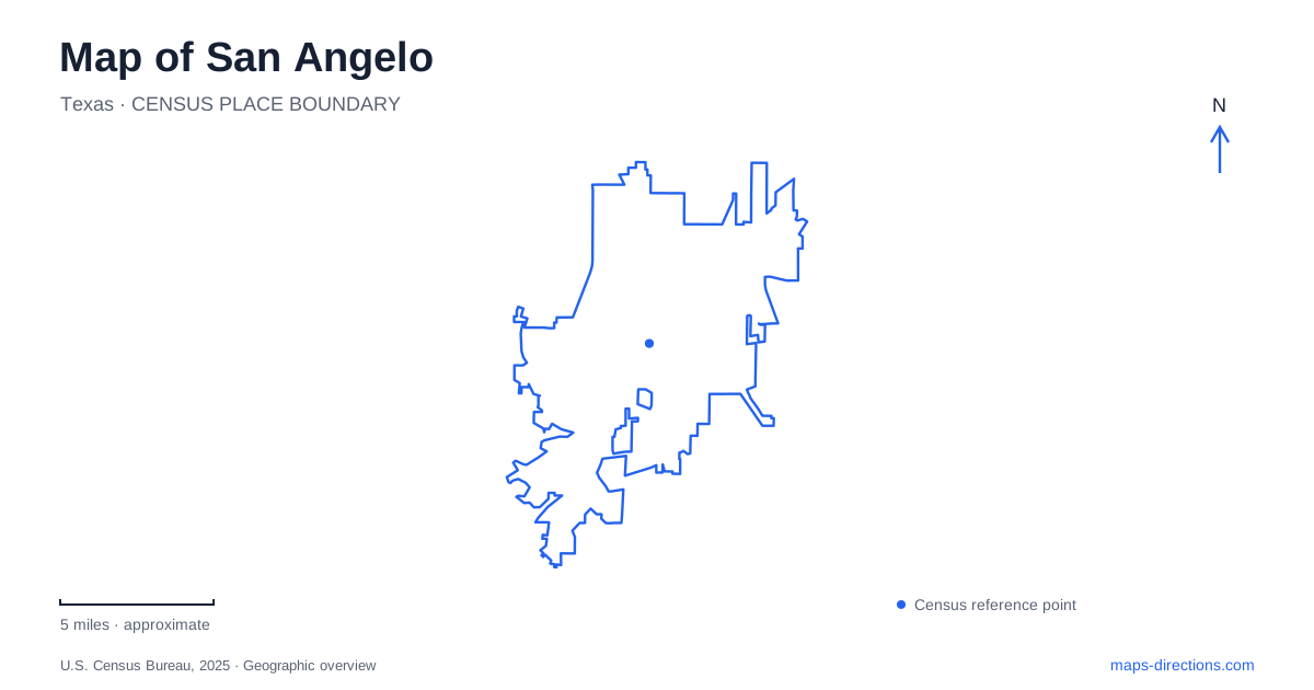
Street tiles load from OpenStreetMap when opened. The blue line shows the 2025 Census boundary.
- State
- Texas
- Population · July 2025
- 100,640
- Land area
- 60.2 sq mi
- Water area
- 2.3 sq mi
San Angelo is easiest to understand by separating its central river landscape from the larger reservoir country beyond the developed streets. Downtown Concho Avenue, Fort Concho, and the museum district form one set of destinations. Civic League Park offers a different river-side focus, while O.C. Fisher Reservoir and the state park introduce longer trails and a much broader shoreline. The repeated Concho name connects these places historically and geographically, but it does not place them all on the same block.
A river corridor through town
The downtown Riverwalk follows the Concho River and serves as a public-space spine beside the commercial center. Concho Avenue is a street destination, while the Riverwalk is a waterside route. Keeping both on the map distinguishes browsing the downtown businesses from following the river corridor itself.
Texas Parks and Wildlife identifies North Concho Park, Harmon Park, and Santa Fe Park as components of the North Concho river corridor. Farther along the urban waterway, Rio Concho Park has its own walking trail and river-bottom vegetation. The park names help divide an otherwise continuous-looking blue line into recognizable sections. They also make it possible to choose a particular stretch of river rather than searching for one universal riverfront entrance.
The river is an organizing feature of San Angelo, but the adjoining green spaces have different purposes. Some concentrate on walking and gardens; others connect with the downtown arts and historical sites. Reading their names alongside nearby streets provides a more detailed picture than treating every riverside polygon as the same park.
The fort and the arts district
Fort Concho stands at 630 South Oakes Street, a few blocks south of downtown Concho Avenue. Established in 1867, the military post used native limestone extensively and originally occupied a much larger area than its surviving visitor landscape. Elements of all four Buffalo Soldier regiments served at the post during its active years, giving the site significance beyond its architectural outline.
Within the fort, the visitor center occupies Barracks 1 on the north side of the parade ground. The parade ground therefore becomes the most useful internal reference once the surrounding streets have brought a visitor to the site. A city map locates the fort; its site map explains the arrangement of individual historic buildings.
The San Angelo Museum of Fine Arts is at 1 Love Street, one block north of the fort. This close grouping supports an outing focused on the city's cultural district without requiring the reservoir parks to be part of the same itinerary. The museum also houses the Concho Clay Studio, adding a working ceramics component to its exhibition role.
A depot and a garden with precise addresses
The railway museum occupies the historic depot at 703 South Chadbourne Street. Its indoor displays include model trains and historical photographs, while railway equipment is displayed outside. Chadbourne and Oakes thus identify different historical destinations in the broader southern downtown area: the former locates the depot, the latter the fort.
For a garden visit in San Angelo, the International Water Lily Collection belongs at Civic League Park, 2 South Park Street, between Beauregard and Harris avenues. It should be located by that park name rather than by the general riverfront label. The collection includes Texas Dawn, the variety created by Ken Landon that became the state's official water lily in 2011.
The city describes active flowering displays from April through October. That seasonal character is part of understanding the destination, unlike the permanent street geometry around it. The garden remains a fixed point on the map even though its botanical display changes through the year.
O.C. Fisher and the larger trail landscape
The state park beside O.C. Fisher Reservoir uses North and South units, with extensive multiuse trails for hiking, cycling, and horseback riding. The South Shore entrance is associated with FM 2288. The operator requires visitors using the locked North Shore entrance to obtain access information through the South Shore check-in, so the two units should be planned as distinct arrival points.
The Dinosaur Trail passes fossil trackways from creatures of the Permian period, before dinosaurs. Its name can otherwise suggest a different geological age. Bison and longhorn paddocks provide another identifiable feature of the park, separate from its lakeshore recreation.
A map of San Angelo can show a large reservoir footprint without conveying the available water at a particular time. Texas Parks and Wildlife warns that low water can leave boat ramps unusable. For the landscape's history, reservoir construction began in 1947, the lake received Ovie Clark Fisher's name in 1975, and the state park opened in 1995. Those successive dates explain why the reservoir and recreation area represent a later chapter than the downtown fort and depot.
Map and statistics: U.S. Census Bureau, 2025 Gazetteer, January 2025 generalized place boundaries and Vintage 2025 population estimates. Local references: Downtown San Angelo; Texas Parks and Wildlife; City of San Angelo; SAMFA; Railway Museum of San Angelo. Article prepared by Maps & Directions.