Map of Salt Lake City
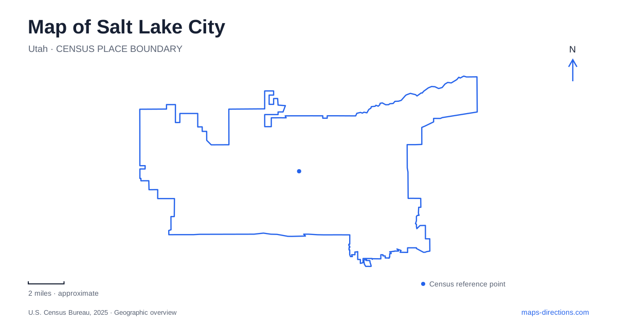
Street tiles load from OpenStreetMap when opened. The blue line shows the 2025 Census boundary.
- State
- Utah
- Population · July 2025
- 218,428
- Land area
- 110.9 sq mi
- Water area
- 0.4 sq mi
Salt Lake City's street numbers offer a built-in orientation system, but the landscape adds an equally important second guide. Downtown lies below foothill neighborhoods, City Creek cuts a gully between established residential areas, and the university's museum grounds meet open hillside trails. The large lake that gives the city its name belongs to a separate shoreline excursion. Reading the numbered grid together with these landforms makes the city easier to understand at both neighborhood and regional scales.
Temple Square as the grid's reference
Temple Square provides the origin for the street-numbering system. Addresses indicate position north, south, east or west from that reference area. The numbers therefore carry geographic information, while the directional words distinguish different parts of the grid. Keeping the complete address matters particularly when the same street number appears on opposite sides of the center.
The name Temple Square also describes more than its original single block. The visitor district includes adjoining buildings such as the Conference Center, FamilySearch Library and Church History Museum. A pedestrian plaza connects the original block with the block to its east. This expanded footprint explains why several distinct cultural and religious destinations appear under the same broad label. Consider admission to the temple separately from the surrounding buildings and plaza; sharing the Temple Square name does not give every space identical visitor access.
A creek between Capitol Hill and the Avenues
Memory Grove occupies the mouth of City Creek Canyon, between Capitol Hill on the west and the Avenues on the east. The gully interrupts the otherwise legible grid of Salt Lake City and creates a natural separation between neighborhoods. Slopes rise toward Bonneville Boulevard, while the creek passes through the lower park landscape before continuing underground.
The city acquired land here in 1902, and the area was dedicated as a memorial park in 1924 following advocacy by women of the Service Star Legion. Monuments accumulated over time, including the circular marble Pagoda and the Meditation Chapel. These structures make the park a commemorative landscape as well as a route toward the canyon.
City Creek also has a practical history as a water source. It supplied the 1847 settlers, powered mills and entered a municipal piped distribution system in 1866. Farther downtown, a section was brought back into the open in 1995 after earlier culverting. Its visible and hidden reaches explain why following the creek's history requires more than tracing one uninterrupted blue line across a present-day street map.
Liberty Park's long public life
Liberty Park was dedicated in June 1882 on land previously used for farming. Its nearly hundred-acre grounds have served generations of residents, with a pond, tree groves, paths and recreation facilities. This broad landscaped space offers a different urban experience from the narrower canyon setting of Memory Grove.
The park contains Tracy Aviary, the Chase Home Museum of Utah Folk Arts and Chase Mill. These institutions and historic structures give the grounds several layers of interest. A visitor can encounter living bird collections, domestic architecture and milling history within one park landscape. On a map of Salt Lake City, Liberty Park is consequently both a recreational destination and a cluster of cultural sites, each occupying a particular part of the grounds.
Where the museum meets the foothills
The Natural History Museum of Utah's Rio Tinto Center sits beside the Bonneville Shoreline Trail on the eastern bench. The museum's site connects directly with the University of Utah section of that trail, placing outdoor terrain beside indoor interpretation. This relationship is central to the building's setting: the surrounding slopes are part of the visitor's experience of geology, vegetation and the valley landscape.
A conservation easement protects a lower portion of the site, including an oak grove and a wildlife movement corridor. Trails extend around the museum and into the foothills, with both north-south connections and routes heading farther east. The transition from developed campus to open land is visible here in a way that a downtown street grid cannot express.
Regional connections and the actual lakeshore
TRAX provides rail connections across the urban valley. The Green Line serves the airport, while the Red Line reaches the University of Utah. These different alignments help explain the relationship between air travel, central districts and the eastern campus area without assuming that every rail line serves every destination.
Great Salt Lake State Park lies west of Salt Lake City along Interstate 80, reached from Exit 104. Its marina, beaches and visitor facilities belong to a separate lake-edge landscape, away from the downtown blocks and eastern foothills. Keeping that shoreline destination distinct from the city center is useful when planning time outdoors: Salt Lake City offers canyon, park and foothill experiences within its urban setting, while the namesake lake requires a different route through the wider valley.
Map and statistics: U.S. Census Bureau, 2025 Gazetteer, January 2025 generalized place boundaries and Vintage 2025 population estimates. Local references: Visit Salt Lake; Salt Lake City; Natural History Museum of Utah; Utah Transit Authority; Utah State Parks. Article prepared by Maps & Directions.