Map of Salinas
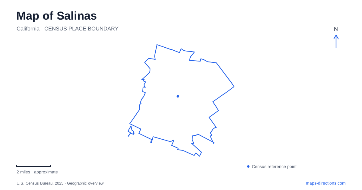
Street tiles load from OpenStreetMap when opened. The blue line shows the 2025 Census boundary.
- State
- California
- Population · July 2025
- 159,134
- Land area
- 23.5 sq mi
- Water area
- 0.0 sq mi
Salinas brings together a compact historic commercial district, an agricultural economy reaching far beyond the city, and a landscape shaped by seasonal water. Oldtown's Main Street and the railway provide an initial orientation, but they are only part of the story. Chinatown preserves a different community history beside the transportation corridor, an adobe recalls the rancho period, and Carr Lake reveals how a large former wetland remained within the urban fabric. These places give the map several distinct historical and environmental layers.
Oldtown, the railway, and a literary center
The arrival of the Southern Pacific Railroad in the 1870s helped establish the city's role as a commercial center for the surrounding valley. The surviving freight depot dates from 1873. Around the rail district, heritage facilities now interpret the relationship between transportation, local government, and the region's development. This was a place where agricultural production could connect with markets beyond the immediate countryside.
Oldtown remains the historic commercial core, with buildings from the late nineteenth and early twentieth centuries. At 1 Main Street, the National Steinbeck Center gives that district a major literary anchor. Its museum, archives, and educational programs examine the author's life and work. The center is a modern institution interpreting that history, rather than the house in which the writer grew up.
The distinction is useful in Salinas because literary interest extends across several actual places. Steinbeck's childhood home is a separate destination, and the public library's literary-landmark program identifies sites associated with both his writing and other authors' accounts of the community. Reading these places alongside the railway and commercial district makes the literary landscape more substantial than a single museum visit: it ties writing to the working town that helped inform it.
Soledad Street and Chinatown’s community geography
At 1 Soledad Street, the former Joss House site recalls the leasing of four lots by Chinese merchants in 1893 to establish the second Chinatown. The neighborhood became a center for families, businesses, and social institutions, with Chinese, Filipino, Mexican, and Black experiences all represented in the library's accounts of its later life.
The Republic Café at 37 Soledad Street was a gathering place from the 1930s. Current municipal heritage information describes restoration and a proposed future role for the Asian Cultural Experience museum. That proposed use should be distinguished from an already operating museum when choosing destinations.
Chinatown's location close to downtown and the transportation center is important, but the railway also creates a physical division. The city's revitalization plan identifies improved connections across the tracks as a way to reconnect the district. For Salinas, the rail corridor was therefore both an economic asset and an urban boundary. A close view of the streets shows why neighborhood access and cultural preservation are being considered together.
A rancho-era building beyond the commercial core
The José Eusebio Boronda Adobe stands at 333 Boronda Road near West Laurel Drive. California's historic-landmark record dates its construction to between 1844 and 1848 and identifies characteristics of the Monterey Colonial style. It belongs to the Mexican-era rancho landscape, preceding the railway-driven growth visible in Oldtown.
That difference in age and setting gives the adobe a particular role on the map. It is not another commercial building from the same development phase as the Main Street storefronts. Instead, it provides evidence of an earlier organization of land and settlement. Locating it separately from the central business district makes the sequence clearer: rancho life, railroad commerce, and later urban expansion left different kinds of places in different parts of the city.
Carr Lake’s return to a wetter landscape
Carr Lake is an approximately 480-acre seasonally dry lakebed within Salinas. Its name can suggest a permanent open-water lake, but that is an incomplete picture of the basin. Big Sur Land Trust acquired seventy-three acres there in 2017 to create a community park and restore part of the altered landscape.
The six-acre neighborhood park opened in August 2025 with play and gathering facilities. The larger sixty-seven-acre restoration area celebrated its opening in September 2026. Land previously drained for agriculture was reshaped to support wetlands, channels, and habitat, with elevated ground carrying 1.7 miles of trails and three bridges.
These features explain the park's layout. The paths follow a landscape designed to accommodate water rather than simply covering a flat field with recreational facilities. Slower storm flows, habitat restoration, and public access are linked purposes. The seasonal character means the appearance of the ground and water can change without changing the identity of the place.
Ensen Community Park adds a contemporary chapter to Salinas’s map. Alongside the railway district, Chinatown, and adobe, it shows how the city continues to reinterpret land inherited from earlier economies. The resulting geography includes cultural memory, working agriculture, and environmental restoration, each visible through specific places rather than a single citywide label.
Map and statistics: U.S. Census Bureau, 2025 Gazetteer, January 2025 generalized place boundaries and Vintage 2025 population estimates. Local references: City of Salinas; National Steinbeck Center; Salinas Public Library; California State Parks; Big Sur Land Trust. Article prepared by Maps & Directions.