Map of Salina
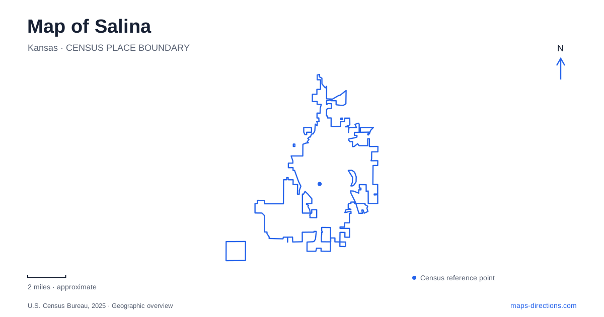
Street tiles load from OpenStreetMap when opened. The blue line shows the 2025 Census boundary.
- State
- Kansas
- Population · July 2025
- 46,094
- Land area
- 26.3 sq mi
- Water area
- 0.0 sq mi
Salina has a river geography that is less straightforward than a single blue line through a street grid. An old Smoky Hill River channel winds through the downtown and park landscape, while a flood-control cutoff changed the way water moves around the city. Oakdale Park, Lakewood Park, and Indian Rock Park provide different perspectives on that setting. The distinction between the old channel, flood infrastructure, and recreation routes is the key to reading the local map well.
Why the river appears in more than one form
A U.S. Army Corps of Engineers restoration fact sheet describes about 6.8 miles of remnant old channel through the city. It identifies an inlet north of Bill Burke Sports Complex, a course west through downtown, and a return east through Lakewood before reconnecting with the main river south of East North Street.
The same document explains that a levee and cutoff-channel project was completed in 1961, isolating the old channel from the main river. This history accounts for a map that can appear puzzling at first: the winding downtown waterway and the flood-control system are related, but they do not perform the same function.
For a map of Salina, this is more useful than assuming every waterside route follows a continuous natural riverbank. The old channel is part of the city's historical landscape, while engineered features influence drainage and flood management. Restoration plans concern that relationship; a plan drawing should not be read as proof that every proposed improvement already exists.
Iron Avenue gives the downtown story an address
The Smoky Hill Museum stands at 211 West Iron Avenue, at Eighth Street. It interprets the history of the wider Smoky Hills region through objects, photographs, and exhibitions. The regional name in its title should not be mistaken for a claim that the museum is on a remote landscape outside town: it is a downtown destination.
Iron Avenue also supplies a useful cross-street reference when exploring the center. The museum offers an indoor account of regional history, while the old river channel and nearby public spaces reveal how geography shaped the urban setting. Combining those perspectives can make a downtown visit more meaningful than simply moving between businesses.
The map's role is to preserve both scales. One address identifies a building; the river and street network explain the place around it. A history-focused outing benefits from seeing the relationship without expecting every subject covered in the museum to lie within walking distance.
Oakdale is a gathering landscape
Oakdale Park, at 730 Oakdale Drive, has served as a central public gathering space since the nineteenth century. Its present facilities include the Eric Stein Stage, botanical garden, playground, and sound garden. The city also identifies it as the setting for the Smoky Hill River Festival.
The festival name can make the park sound like a single event venue, but the grounds have a broader everyday role. A garden walk, time at the playground, and attendance at a large performance create different patterns of movement within the same place. The park map is therefore useful even when the destination is already familiar by name.
During major events, the relationship with Kenwood Park Drive and the event-center area becomes especially important. The city's festival information describes special access and parking arrangements around those connections. Those event arrangements should be kept separate from the ordinary street pattern when comparing a festival visit with a quiet day in the park.
Lakewood connects recreation with nature interpretation
Lakewood Park uses 250 Lakewood Drive as its address and contains the Lakewood Discovery Center. The city describes nature trails, picnic space, disc golf, a fishing pier, and a lake suited to small craft. The discovery center adds an educational focus to this outdoor setting.
The old-channel route through Lakewood gives the park a place in the larger river story of Salina. It is not simply an unrelated pond park added to the edge of a city map. Looking at the channel and park together helps explain why nature interpretation and water-based recreation share this location.
A trail outing, a visit to the center, and a fishing trip each use different features of the grounds. Identifying the activity keeps the park's name from becoming an overly broad substitute for a specific destination.
Indian Rock provides a view across the setting
Indian Rock Park is at 1500 Gypsum Avenue on the eastern side of Salina. The city identifies trails, prairie grass, a pond, and views over the city and Smoky Hill River. Its elevated perspective supplies a contrast with the closer, ground-level experience of the old channel and central parks.
This is a useful place to think about the landscape as a whole. An overlook can reveal relationships among developed land, river terrain, and open space that are less obvious from a street. The park's trails provide the means to explore that terrain rather than only stop at a named landmark.
A map of Salina can therefore support a coherent sequence of experiences: regional history on Iron Avenue, a gathering place at Oakdale, nature interpretation at Lakewood, and a wider view from Indian Rock. The old river channel ties the geography together while the individual parks keep each outing distinct.
Map and statistics: U.S. Census Bureau, 2025 Gazetteer, January 2025 generalized place boundaries and Vintage 2025 population estimates. Local references: U.S. Army Corps of Engineers; Smoky Hill Museum; City of Salina. Article prepared by Maps & Directions.