Map of Royal Palm Beach
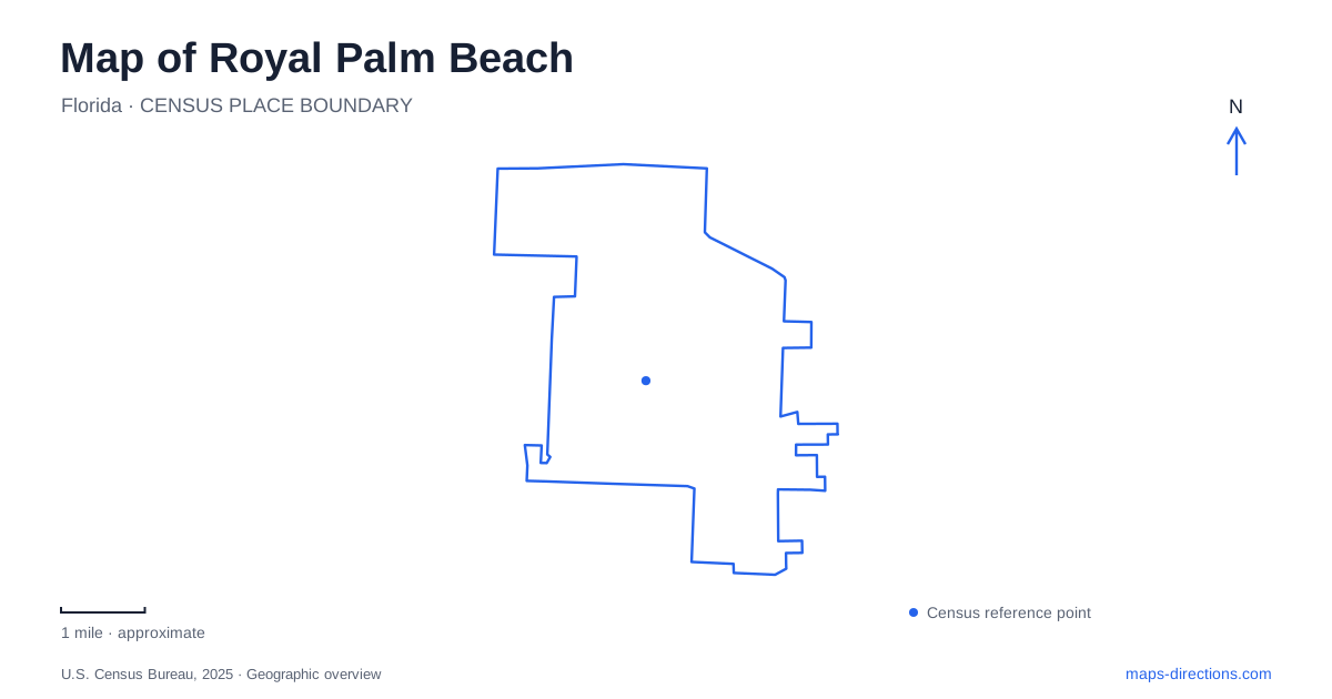
Street tiles load from OpenStreetMap when opened. The blue line shows the 2025 Census boundary.
- State
- Florida
- Population · July 2025
- 42,477
- Land area
- 11.4 sq mi
- Water area
- 0.4 sq mi
Royal Palm Beach is best understood through the relationship between planned neighborhoods, public recreation and protected wetland habitats. Its civic landscape includes a substantial park built around a lake, smaller spaces for everyday neighborhood use, and a county natural area whose ecological variety is much greater than a single patch of green suggests. Following these differences on a map reveals how developed and preserved land coexist in the western part of Palm Beach County.
Growth along a boulevard
The Historical Society of Palm Beach County traces the village's development to land purchased by Samuel Nathan Friedland in the 1950s. A 4,200-acre tract passed to Lefcourt Realty Corporation and became the incorporated village in 1959. After Lefcourt's bankruptcy, a new company continued the project. This origin helps explain why the settlement's growth was closely associated with deliberate subdivision and infrastructure work.
By 1965, Royal Palm Beach Boulevard had been extended north from Southern Boulevard. A golf course, lake, paved streets and platted house lots followed during the decade. The historical account describes expansion from the southern end of the boulevard, first toward its east side and then its west side. That sequence gives the road more meaning than a convenient north-south line: it was an organizing feature around which the village's residential geography developed.
Commons Park is a whole landscape
Commons Park, at 11600 Poinciana Boulevard, brings several kinds of recreation together around a 19-acre lake. The village lists three miles of paved walking, jogging and bicycle trails, a canoe and kayak launch, fishing docks and picnic pavilions. Land and water are deliberately interwoven, so the lake is part of the park's circulation and activity pattern rather than simply a scenic background.
The Sporting Center adds indoor gathering space, while the golf training facilities include a driving range and chipping greens. Play areas, volleyball courts and a splash fountain give other parts of the grounds different purposes. In Royal Palm Beach, this combination makes Commons a useful place for a mixed group whose members want different activities within one larger setting. The park's internal layout is worth reading as carefully as the route leading to it, since a pavilion gathering and a visit to the golf facilities use different portions of the grounds.
A smaller civic park and a neighborhood strip
Veterans Park offers a more compact public setting. At 5.2 acres, it includes amphitheaters, picnic pavilions, a waterfall, open turf and children's play areas. Its address is 1036 on the village's namesake boulevard. These features support gathering and play on a much smaller footprint than Commons, giving it a different place in the local park system.
Grandview Linear Park has an even simpler program. The village lists two acres on Grandview Way, with benches and a sidewalk. Its linear form and modest facilities distinguish it from both a large recreational destination and a preserved natural tract. A map of Royal Palm Beach should therefore be read at the scale of individual parks: a small green strip can serve a neighborhood walking purpose without offering the lake, sporting facilities or extensive trails found elsewhere.
Pine country with many wetland types
The Pines Natural Area covers 772 acres under Palm Beach County management. Its habitats include mesic and wet flatwoods, hydric hammock, wet prairie, depression marsh and dome swamp. Wetland ecosystems occupy almost half the area. The diversity of those environments is significant: a broad green polygon on a road map can contain changes in moisture, vegetation and habitat that are not visible at that scale.
The main entrance is at 110 Nature's Way, while the north entrance is at 13500 40th Street North. The county identifies sandy walking routes including the 1.4-mile Pine Lily Trail and the shorter Cabbage Palm Trail. These differ from the paved recreational paths at Commons. The natural area also attracts birds such as Florida sandhill cranes and red-shouldered hawks, although any particular sighting depends on the visit. Its protected purpose and trail surfaces give it a distinct role in a local outdoor itinerary.
Comparing built and preserved water settings
The lake at Commons and the wetlands at the Pines illustrate two different ways water shapes Royal Palm Beach. One setting concentrates recreation around planned facilities; the other protects a varied natural landscape. Veterans Park and Grandview Linear Park fill smaller roles between those larger destinations. Together with the historical boulevard development, these places give a clear picture of a village organized through residential growth, deliberately provided public space and environmental preservation. Choosing among them becomes easier once their different scales and purposes are visible on the map.
Map and statistics: U.S. Census Bureau, 2025 Gazetteer, January 2025 generalized place boundaries and Vintage 2025 population estimates. Local references: Historical Society of Palm Beach County; Village of Royal Palm Beach; Palm Beach County Environmental Resources Management. Article prepared by Maps & Directions.