Map of Roswell
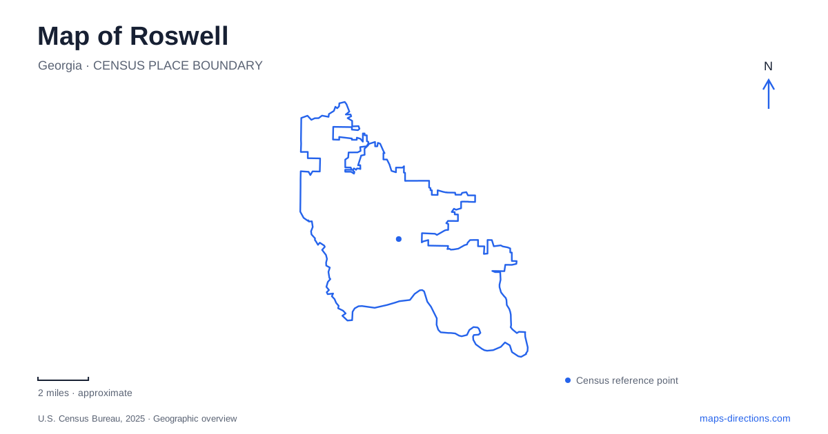
Street tiles load from OpenStreetMap when opened. The blue line shows the 2025 Census boundary.
- State
- Georgia
- Population · July 2025
- 91,505
- Land area
- 40.7 sq mi
- Water area
- 1.3 sq mi
Roswell's historical landscape is closely tied to waterpower, but its best-known places do not all occupy the same stretch of water. Vickery Creek carries the mill story through a wooded setting before reaching the Chattahoochee, while historic houses and the Canton Street district occupy nearby urban ground. Separating the creek valley, house museums, and main riverfront makes the city easier to understand and helps explain why similarly named park destinations have different approaches.
Mill Street and the industrial creek
Vickery Creek Old Mill Park is at 95 Mill Street. Its covered bridge, mill ruins, machine shop, and dam overlook bring several parts of the industrial landscape together. The city identifies trails to the 1850s mill ruins and access to the National Park Service trail system, giving this small entry area a connection to a larger wooded landscape.
The machine shop is the surviving structure from the nineteenth-century manufacturing complex and now serves as an event facility. Its position beside the creek and bridge makes the relationship between production and water visible even after most of the mill buildings have vanished. The ruins and interpretive signs provide context for the waterfall, which is associated with the historic dam rather than being an isolated scenic feature.
Water access at the waterfall has been suspended since August 2024, and the city's current park information continues that restriction. Visitors can use designated trails and viewing areas. This is a significant distinction for a Roswell outing: the presence of a waterfall on a map does not make the pool below it a swimming destination.
Downstream toward the Chattahoochee
The National Park Service describes Vickery Creek as historically associated with Big Creek. Near its mouth, Ivy Mill ruins preserve another part of the manufacturing landscape. These remains are separate from the Mill Street complex farther upstream. Ivy Mill produced cotton and wool textiles, including cloth used for Confederate uniforms during the Civil War.
Allenbrook House, at 227 South Atlanta Street, supplies another reference in this lower-creek area. Its association with the mill landscape places domestic history close to the industrial sites and the river confluence. A close map view helps distinguish the creek's wooded corridor from Riverside Road and the Route 9 crossing of the Chattahoochee.
That distinction is particularly useful when reading historical accounts. References to a mill, creek, house, or river crossing may concern neighboring but separate parts of the same working landscape. The geography connects them without collapsing their different functions into one attraction.
Houses around the older center
Barrington Hall stands at 535 Barrington Drive across from the historic Town Square. Completed in 1842 for Barrington King, it combines a preserved house with formal garden grounds. The square and the residence create a useful starting pair for understanding the older civic and domestic setting.
Bulloch Hall, at 180 Bulloch Drive, occupies another nearby property off Marietta Highway. Its Greek Temple Revival architecture overlooks lawns, a garden, and a pond. Mimosa Hall and Gardens stands beside it, adding another historic property to the cluster. These neighboring grounds give this part of Roswell a different texture from the mill valley: houses and designed landscapes occupy individual sites linked by streets.
Farther along Alpharetta Street, the Archibald Smith Plantation is at number 935 on the City Hall complex, across from the Canton Street district. The 1845 farmhouse and surviving outbuildings represent what remains of a much larger farm. Confirm the city's visitor arrangements for the farmhouse separately from the surrounding grounds. A general museum-hours listing does not necessarily describe access to every building within the property.
The riverfront during renovation
Riverside Park is at 575 Riverside Road. Ace Sand Park at 705 Riverside Road and Don White Memorial Park at 925(B) Riverside Road are separate destinations along the same corridor. Keeping those addresses distinct is useful when selecting parking, a riverfront walk or a park event. Consult the city's information for the chosen facility, including sprayground and concert arrangements, rather than assuming one recreation notice applies to all three sites.
For a Roswell riverfront visit, those details change the practical map more than the park's permanent amenity symbols do. The shoreline remains part of a connected recreation landscape, but a planned playground or concert visit cannot be based on an older description of Riverside Park.
The city's longer-term bicycle and pedestrian plan seeks stronger connections among parks, schools, the historic district, and the Chattahoochee. Its proposed network is a planning framework, not evidence that every depicted trail already exists. Reading Roswell through the places that are present—the Mill Street access, Town Square houses, Alpharetta Street farm grounds, and named riverfront approaches—provides a more dependable picture of this evolving landscape.
Map and statistics: U.S. Census Bureau, 2025 Gazetteer, January 2025 generalized place boundaries and Vintage 2025 population estimates. Local references: City of Roswell; National Park Service. Article prepared by Maps & Directions.