Map of Rosenberg
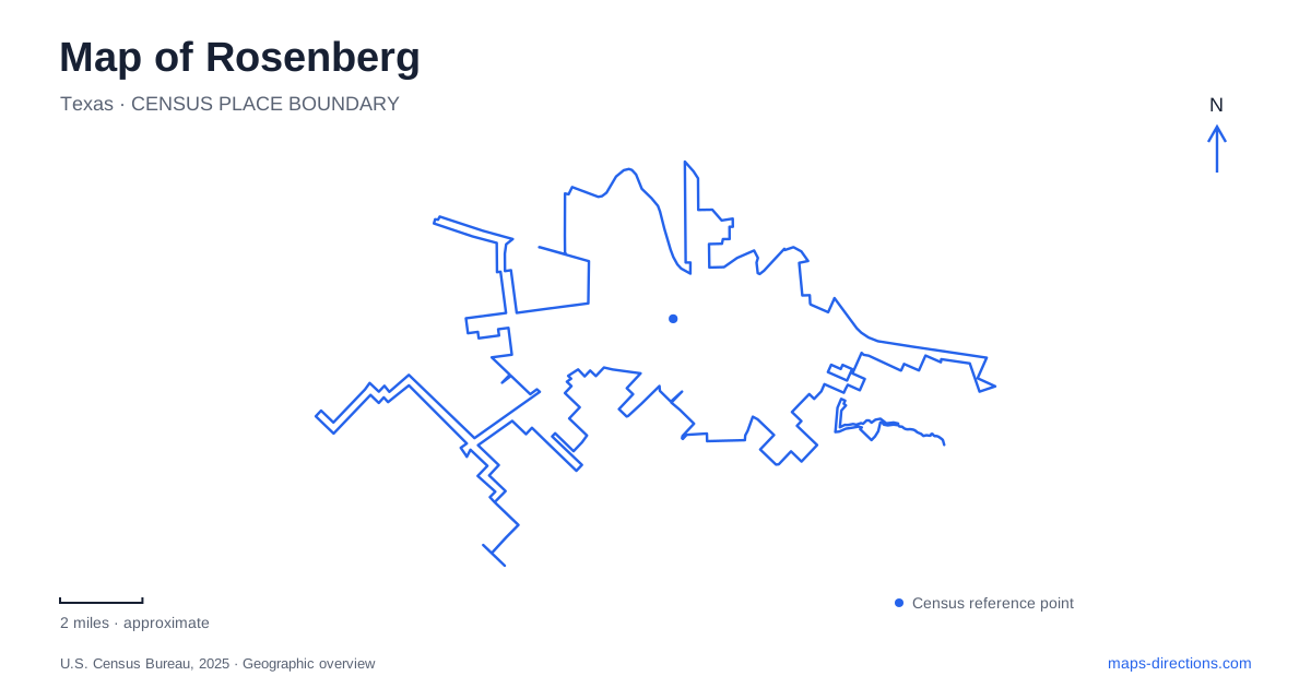
Street tiles load from OpenStreetMap when opened. The blue line shows the 2025 Census boundary.
- State
- Texas
- Population · July 2025
- 42,701
- Land area
- 37.6 sq mi
- Water area
- 0.2 sq mi
Rosenberg grew where rail routes met near the Brazos River. That origin remains useful for understanding the older center: numbered streets, lettered avenues, railway land, and the nearby river form its basic framework. Third Street anchors the historic commercial district, while Avenue F holds the railroad museum and Avenue G includes public gathering space. Farther south, Seabourne Creek Nature Park introduces a larger landscape of prairie and wetlands. These places show both the transportation economy that created the town and the outdoor spaces serving it today.
A junction that shaped the town
The Gulf, Colorado and Santa Fe Railway platted the townsite in 1883, giving Rosenberg a formal layout after rail activity had already begun. The railway's route crossed the existing Galveston, Harrisburg and San Antonio line, while the New York, Texas and Mexican Railway added a connection toward Victoria. The latter became known as the Macaroni Line because of the Italian workers who built it. The junction made the area a shipping point for cotton, cattle, and other goods from surrounding farms and ranches.
The Brazos also influenced the direction of growth. The city's history describes an early business area north of the tracks, with repeated flooding encouraging development southward. That movement helps explain why the river, railway, and later commercial blocks are related without occupying exactly the same strip of land. The present center reflects successive decisions about access, trade, and exposure to water.
Third Street and the lettered avenues
Main Street in older accounts refers to today's Third Street. This is a small naming detail with practical value when comparing historic photographs or building descriptions with a current map. By the early twentieth century, the commercial district had concentrated along this corridor. The street later became part of a downtown identity built around historic architecture, independent shops, performance, and visual arts.
Avenue G provides another reference through this district. Water Tower Square uses the address 2100 Avenue G and serves as a public event setting. The numbered streets and lettered avenues make it possible to read the blocks systematically: the street number identifies one direction through the grid, while the avenue letter places a destination relative to parallel corridors. For a first visit to Rosenberg, Third Street and Avenue G form a more useful starting frame than a general city-center label.
Railway history at ground level
The railroad museum is located at 1921 Avenue F. Its grounds bring together Tower 17, a Missouri Pacific caboose, the Quebec business car, a garden railway, and an education area. The collection gives different scales of railway experience: equipment that carried people, structures connected with operations, and model settings that help explain a broader system.
The museum's map is particularly useful because this is a collection of buildings and outdoor exhibits rather than a single gallery. A visitor interested in the business car will move through a different part of the grounds from someone exploring the model-train room. These preserved objects also give substance to the city's junction history. The rail lines were not merely marks on a regional map; they required specialized equipment, working spaces, and people whose activities shaped nearby commerce.
Prairie and water at Seabourne Creek
Seabourne Creek Nature Park lies at 3831 Highway 36 South. Its roughly 209 acres include a four-acre fishing lake, a six-acre wetland, and twenty acres of natural prairie. The city lists 3.1 miles of crushed-granite walking trails, fishing piers, picnic facilities, and an arboretum. This is a different scale and setting from the compact downtown blocks of Rosenberg, with habitat and recreation distributed across a broad property.
The lake, wetland, and prairie should be understood as distinct environments. Open water supports fishing activity, while shallower wetland areas and prairie plots create other opportunities for wildlife observation. The trail map distinguishes granite routes from raised wooden walkways and marks viewing areas and garden spaces. Those details help explain why a walk through the park changes character as it moves between water, open grassland, and planted areas.
A landscape maintained for learning
The Coastal Prairie Chapter of the Texas Master Naturalist program has helped develop the park's butterfly garden, wetland areas, prairie demonstration garden, and bird sanctuary. Volunteers also maintain habitat plots and interpretive material. The result is an outdoor learning landscape where the planted areas and signs explain local ecology rather than simply decorate a recreation ground.
Taken together, Seabourne Creek and the railway district offer two complementary perspectives on Rosenberg. One reveals the shipping routes and commercial grid that structured settlement; the other makes the surrounding prairie-and-water environment easier to recognize. A useful visit can therefore move between the scale of a downtown block, a preserved rail car, and a habitat trail, with each place contributing a different part of the city's story.
Map and statistics: U.S. Census Bureau, 2025 Gazetteer, January 2025 generalized place boundaries and Vintage 2025 population estimates. Local references: City of Rosenberg; Rosenberg Railroad Museum. Article prepared by Maps & Directions.