Map of Rocky Mount
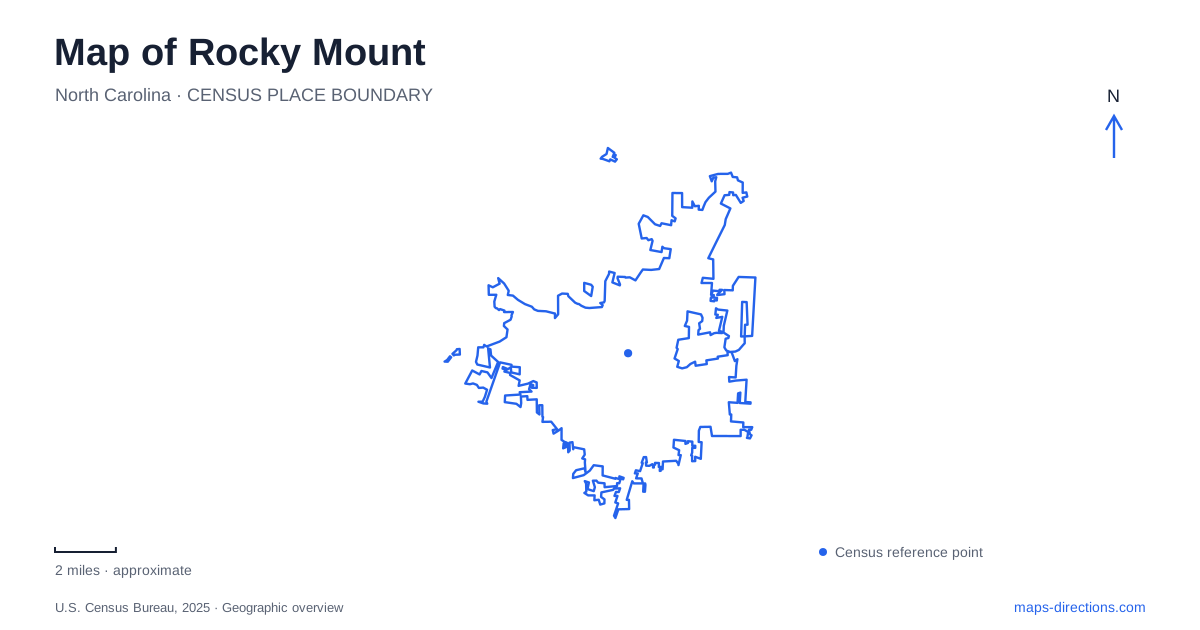
Street tiles load from OpenStreetMap when opened. The blue line shows the 2025 Census boundary.
- State
- North Carolina
- Population · July 2025
- 55,120
- Land area
- 45.2 sq mi
- Water area
- 0.2 sq mi
Rocky Mount has two especially revealing lines on its map: the Tar River and the railway through Main Street. The river explains the mill district and the rocky landscape around Battle Park, while the tracks explain the long commercial center and its historic depot. Falls Road connects the story of the river settlements with the downtown streets. Keeping those elements visible provides a more useful introduction than beginning with the highway interchanges alone, because much of the city's identity developed around waterpower, rail transport, and the industries they supported.
Main Street has a railway at its center
Downtown's unusual form is immediately apparent on a close map. The railroad occupies the middle of Main Street, with commercial buildings lining the corridor. Washington Street runs parallel, adding another historic commercial frontage. The municipal historic district description places the depot at the southern end of the district and tobacco warehouses toward the north, explaining the economic geography behind the long streetscape.
The passenger station is at 101 Coastline Street. Its red-brick building is a useful southern downtown landmark, but the railway is also an active transportation corridor extending beyond the station. Moving between opposite sides of Main Street therefore involves actual crossings rather than simply walking across a conventional shopping street. The tracks contribute to the area's character while influencing how short trips through the center are arranged.
Falls Road leads toward the mills
Northwest of downtown, Falls Road passes through a historic residential district and toward the mill village south of the Tar River. The mill campus at 1151 Falls Road traces its origins to 1818. Today it combines businesses, housing, restaurants, and breweries, giving the former industrial property a mix of uses that differs from its original production role.
Rocky Mount Mills and the downtown tobacco district represent distinct chapters of industrial growth. One developed around a riverside mill site; the other is closely tied to the commercial streets and rail network. Their different positions make that history legible on a map. Visiting both areas is a way to see how industrial activity shaped more than one center, rather than assuming that every historic factory belonged to the same compact district.
Why Battle Park looks different
Battle Park occupies the meeting of the Tar River and the fall line, where small hills, exposed rock, and large boulders interrupt the surrounding landscape. The park's master plan explains that swift water characterized this location before nineteenth-century damming. Goose Branch enters the river within the park, adding a smaller stream to the main watercourse. These features give the park a physical character closely connected to the city's origins.
The rocky terrain in Rocky Mount is therefore more than a scenic backdrop. It helps explain why waterpower was available here and why this part of the river became an important place for settlement and industry. The park contains river channels and islands whose shape can change with high water. A map of the permanent paths and facilities is useful for orientation, but the river itself remains a changing natural system rather than a fixed ornamental pond.
Greenways and woodland riding routes
The Tar River Trail connects several public landscapes. The city's route description follows it from Sunset Park through Battle Park, across the river into Stith-Talbert Park, and onward to Dr. Martin Luther King Jr. Park. A connector near South Church Street leads toward the sports complex and athletic stadium. This sequence shows how recreation can follow the water through the urban area rather than remain confined to one isolated park.
Rocky Mount also has dedicated mountain-bike routes at Battle Park and Salamander Ridge. The city's trail map separates the base loops from intermediate and advanced lines, while showing the greenway as a distinct route. That distinction is useful for a mixed group: a family walk along the greenway and a technical riding session may begin in the same wider park system but follow different surfaces and difficulty levels. The Tar River Paddle Trail is another separate network, traveled on the water rather than on those land paths.
Tobacco buildings and cultural reuse
The Imperial Centre brings arts and science activities into the former Imperial Tobacco Company complex. Its operator highlights surviving brick and metalwork, so the industrial setting remains part of the visitor experience. This is a different kind of reuse from the residential and business mix at the mill campus, even though both make older working buildings relevant to present life.
A map of Rocky Mount can consequently be read as a connected story rather than a scattered list of attractions. Main Street and Coastline Street establish the railway center; Falls Road leads toward the riverside mill district; Battle Park reveals the terrain that supported waterpower; and the greenway links several recreational landscapes. These relationships give each destination a reason to occupy its particular place and make local routes easier to understand.
Map and statistics: U.S. Census Bureau, 2025 Gazetteer, January 2025 generalized place boundaries and Vintage 2025 population estimates. Local references: City of Rocky Mount; Amtrak Great American Stations; Rocky Mount Mills; Imperial Centre. Article prepared by Maps & Directions.