Map of Rockville
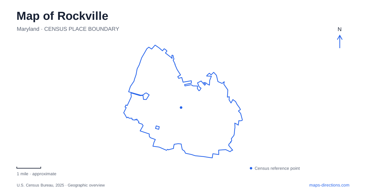
Street tiles load from OpenStreetMap when opened. The blue line shows the 2025 Census boundary.
- State
- Maryland
- Population · July 2025
- 67,563
- Land area
- 13.6 sq mi
- Water area
- 0.0 sq mi
Rockville has a courthouse-centered history and a substantial park landscape that should not be confused with the downtown civic buildings. Maryland Avenue, Courthouse Square, and the rail corridor organize the central urban area. Edmonston Drive and Avery Road lead instead to cultural facilities, an estate landscape, and a wooded creek preserve. These are complementary parts of the city, but they represent different kinds of public space and different reasons for making a visit.
The courthouse explains the original center
When Montgomery County was created in 1776, the settlement became its county seat because of its central position. The city's history records earlier names including Montgomery Court House and Williamsburgh before the present name was established in 1801. This administrative role preceded the later growth of the suburban commercial corridors. It helps explain why government buildings remain so prominent in the central street pattern.
The Red Brick Courthouse, constructed in 1891, was the third courthouse on its site. The county identifies the modern Circuit Court within the government complex bounded by Jefferson Street, Maryland Avenue, and Monroe Street. Those distinctions are useful when interpreting a map of Rockville: a historic courthouse is a landmark in the story of county government, while current court business belongs to the appropriate modern facility. The buildings share an institutional history without being interchangeable destinations.
Town Square and Courthouse Square are distinct places
The municipal downtown wayfinding map places Town Square around the Maryland Avenue and Gibbs Street blocks, with Middle Lane providing another important reference. Courthouse Square lies farther south within the central government landscape. Seeing both names on a map can suggest one large square, but they identify different spaces within the wider town center.
The rail station lies along the Route 355 corridor, which carries the Hungerford Drive and Pike names through this area. The city's event directions identify the Red Line station as an approach to the town center from the east. Together, the railway, Maryland Avenue, and the two squares provide a useful framework for central Rockville. The courthouse grounds explain the older administrative focus, while the northern blocks support a different concentration of shops, gathering spaces, and public activity. The larger center is best read as a sequence of places rather than one uniform plaza.
Edmonston Drive leads to a cultural park
Civic Center Park is listed at 603 Edmonston Drive and covers approximately 153 acres. Its facilities include Glenview Mansion, the Civic Center Cottage, the F. Scott Fitzgerald Theatre, and Croydon Creek Nature Center. Paved paths, historical signs, public art, picnic areas, and sports courts add further uses. The phrase civic center here describes a park complex, not the courthouse and administrative blocks downtown.
This concentration makes the park a substantial cultural destination within Rockville. A performance, a garden visit, and a woodland program can all take place within the broader complex, but each emphasizes a different part of it. The grounds also show how a former private estate can be adapted to public functions without losing every trace of its earlier organization. Formal gardens and a prominent house remain legible alongside newer recreational and educational facilities.
Glenview contains more than one historical layer
The city dates the mansion's neoclassical transformation to 1926, when the Lyon family developed the property as a country estate. Its deeper history includes the Bowie family's plantation, where enslaved people cleared land and worked the farm. The original nineteenth-century house survives within the larger mansion. This is therefore not simply a freestanding twentieth-century showplace: its architecture incorporates an earlier dwelling and a more complicated social history.
The city purchased the mansion and surrounding grounds in 1957 for civic use. Today's art gallery and ornamental gardens belong to that public chapter, but private events can close the mansion and its immediate grounds to ordinary visits. The property's history is most clearly understood by keeping these successive uses in view: plantation, country estate, and municipal cultural setting. The formal appearance of the grounds alone does not communicate all three.
Avery Road introduces the creek landscape
Croydon Creek Nature Center uses the address 852 Avery Road, separate from the park's Edmonston Drive address. It stands along the edge of the 120-acre John G. Hayes Forest Preserve, where woodland, meadow, and the winding creek support native wildlife. Live-animal exhibits and displays about Maryland habitats connect the indoor center with the surrounding trails.
This part of Rockville supplies a different experience from both the formal estate gardens and the paved downtown squares. The creek and forest become the organizing features, with the nature center serving as an introduction to them. Reading Avery Road, Edmonston Drive, Maryland Avenue, and the railway together gives a practical outline of the city: a historic county seat, a network of central public spaces, and a cultural park that extends into a living stream landscape.
Map and statistics: U.S. Census Bureau, 2025 Gazetteer, January 2025 generalized place boundaries and Vintage 2025 population estimates. Local references: City of Rockville; Montgomery County Circuit Court. Article prepared by Maps & Directions.