Map of Rock Hill
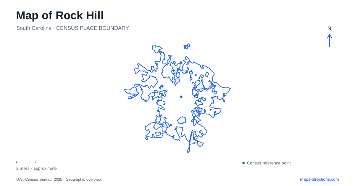
Street tiles load from OpenStreetMap when opened. The blue line shows the 2025 Census boundary.
- State
- South Carolina
- Population · July 2025
- 75,911
- Land area
- 44.9 sq mi
- Water area
- 0.2 sq mi
Rock Hill offers several distinct landscapes within one local map: Main Street and its public spaces, Winthrop University's historic grounds, gardens that began behind a private house, and a trail following the Catawba River. These places give different meanings to a walk. Downtown brings buildings and civic history close together; the campus adds larger lawns and academic architecture; the river route stretches the experience along a natural corridor. Understanding those differences helps shape a visit around the setting that matters most.
Main Street as a public-history route
Fountain Park provides an obvious landmark at 300 East Main Street. Developed jointly by the city and Comporium, it places a large fountain within green space and includes a small performance stage. Its role is that of an urban gathering place: water, lawn, and events embedded in Old Town's street pattern. The fountain belongs to the downtown landscape, separate from the larger water feature that shapes the riverfront district.
Freedom Walkway, off Main Street, adds an interpretive dimension to this part of Rock Hill. Dedicated in 2016, it recognizes people who worked for justice and equality, with the Friendship Nine among its inspirations. The walkway turns a passage through the center into a place to consider local civil-rights history. Pairing it with the surrounding streets keeps that history connected to the community where it happened, rather than treating it as an abstract theme detached from place.
The White Home and a growing town
The White Home at 258 East White Street connects the built landscape to one family's changing circumstances. The preservation organization that owns it traces its development from a modest early dwelling into a much larger house, with farming, boarding, and civic activity forming parts of its story. Ann White managed the property and family affairs while influencing education and church development in the emerging community.
The building's double piazzas were added in 1859, and later decorative work gave the home a more elaborate appearance. Its history is therefore visible in layers rather than in a single construction moment. The property was acquired for preservation in 2005. On a heritage-focused Rock Hill map, this site provides a different kind of evidence from a courthouse or monument: a domestic landscape whose expansion reflects the surrounding town's growth.
Garden paths and campus lawns
Glencairn Garden, at 725 Crest Street, began as David and Hazel Bigger's backyard garden in 1928. Hazel Bigger deeded it to the city after her husband's death, and landscape architect Robert Marvin helped shape its later public form. The eleven-acre garden includes ponds, fountains, a Japanese footbridge, and named areas such as the Children's Garden and Veterans Garden. Azaleas, camellias, dogwoods, and mature hardwoods contribute different textures and seasonal changes along its paths.
The garden's origin matters to its scale. It offers an intimate, planted landscape with winding routes and water features, rather than the broad playing fields of a sports complex. Its learning center uses a separate address at 825 Edgemont Avenue, reflecting the distinction between the garden itself and a building used for programs and meetings.
Winthrop's main campus occupies another prominent part of Rock Hill, north of historic downtown along Oakland Avenue. The university's plan distinguishes this central academic campus from the Recreational and Research Complex about a mile northeast. The coliseum, at 1162 Eden Terrace, belongs to that separate recreational setting. Eden Terrace leads toward the main campus, but a sporting event at the coliseum and an academic visit do not end in the same cluster of buildings.
Following the Catawba rather than the downtown grid
At Riverwalk, the Catawba River Trail changes the scale of the outing again. The city lists the northern access at 575 Herrons Ferry Road and describes a 3.35-mile paved route extending south to River Park. This is a linear trail, with both flatter stretches and substantial grades, rather than a short loop around a central lawn. Walking, running, and cycling share the route.
An additional access point at 100 Celriver Road joins the trail between its 2.25- and 2.50-mile markers, providing a useful intermediate starting place. A canoe and kayak launch near the northern trailhead introduces another way to experience the river corridor. The floodplain setting also affects use: high water can interrupt access after heavy precipitation. For a Rock Hill visit, the riverfront works best as its own landscape destination, complementing the close-set streets, house museum, garden paths, and university grounds elsewhere in the city.
Map and statistics: U.S. Census Bureau, 2025 Gazetteer, January 2025 generalized place boundaries and Vintage 2025 population estimates. Local references: City of Rock Hill; Historic Rock Hill; Winthrop University. Article prepared by Maps & Directions.