Map of Rochester
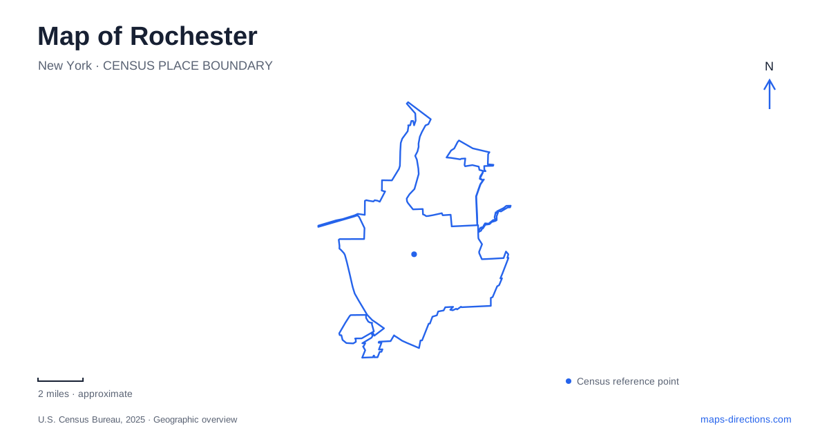
Street tiles load from OpenStreetMap when opened. The blue line shows the 2025 Census boundary.
- State
- New York
- Population · July 2025
- 206,108
- Land area
- 35.8 sq mi
- Water area
- 1.4 sq mi
A map of Rochester has a strong northward direction: the Genesee River runs through the city toward Lake Ontario. Along that course, its character changes from canal junction to downtown waterway, waterfall gorge and lower river basin. The historic Erie Canal added an east-west connection, while designed parks and East Avenue's cultural landmarks developed away from the immediate river edge. These overlapping patterns explain why the city's geography is richer than a simple downtown-to-beach route.
Water power and the downtown falls
High Falls drops 97 feet within the urban landscape. Together with Middle Falls and Lower Falls, it makes the river's descent a defining physical feature. Early mills used that water power, helping establish the industrial identity remembered in the nickname Flour City.
The river was significant to the Haudenosaunee long before the industrial settlement developed. Its later use for milling and manufacturing altered both the banks and the waterway itself. On a map of Rochester, the falls therefore mark more than scenic viewpoints: they explain the concentration of early economic activity and the physical barriers that shaped river crossings.
Following the Genesee north also reveals why a riverside route cannot be assumed to remain level or directly beside the water. A gorge, a turning basin and the open lakeshore are different landforms, even though they belong to the same river system.
Two canal geographies
The Erie Canal originally crossed the river downtown by aqueduct. The surviving stone structure beneath Broad Street dates to the replacement aqueduct of 1842, rather than the first canal crossing. After the canal moved south, a roadway was added above it, and the former canal level carried subway trains into the middle of the twentieth century.
This layered structure records successive transportation systems occupying one alignment. Waterborne freight, rail travel and road traffic each left a different physical layer. The Aqueduct Reimagined project concerns the future of this historic crossing; published designs should be distinguished from completed public spaces when using a map.
Today's canal and river meet farther south at Genesee Valley Park. The result is a water crossroads quite different from the elevated downtown aqueduct. Someone looking for the active canal corridor and someone studying the historic canal route are therefore exploring separate parts of Rochester, connected by history but separated on the ground.
Highland Park's deliberately natural landscape
Highland Park was designed by Frederick Law Olmsted as an arboretum that would appear natural. Its planting arrangement is intentional, with lilacs, magnolias, Japanese maples and other collections forming a varied landscape. The park's 150 acres include open areas and specialized garden settings rather than a single uniform grove.
Lamberton Conservatory adds an indoor plant collection to that outdoor landscape. Originally constructed in 1911, it extends the horticultural experience beyond the flowering season. The Lilac Arches near Highland and South avenues, the Highland Bowl and the Warner Castle Sunken Garden identify different parts of the park area.
The map is especially useful here for understanding how a large designed landscape is divided into distinct experiences. A concert at the bowl, a conservatory visit and a walk among the lilacs share a park setting, but each has its own position within it.
An industrialist's East Avenue estate
The George Eastman Museum's historic mansion was completed in 1905 after Eastman acquired an East Avenue property in 1902. Architect J. Foster Warner and landscape architect Alling S. DeForest helped create an estate that included formal gardens, working grounds and a fifty-room residence.
The house combined a traditional-looking exterior with technologies such as an internal telephone system, generator, elevator and built-in vacuum system. In 1919, its rear section was moved to enlarge the conservatory. Those details make it a particularly revealing stop in Rochester: industrial-era wealth shaped a domestic landscape whose construction was itself technically ambitious.
The mansion and gardens offer a different perspective from the river's mills. One shows the setting of production and transport; the other shows how a prominent industrial figure arranged private space within the expanding city.
From Turning Point to the lake
Turning Point Park at 350 Boxart Street follows the lower Genesee through woodland and along a broad basin. Its trail uses an old railroad bed to descend from the bank and includes a 3,572-foot bridge over the turning basin. In September 2026, the city named the boardwalk for Edward J. Doherty.
Farther north, Ontario Beach Park occupies the Lake Ontario shore. Its Dentzel carousel was installed in 1905 and remains in its original location, adding a historic recreation landmark to the beach and pier setting. Swimming is seasonal and permitted only when lifeguards are on duty.
This northern waterfront completes the geographical sequence through Rochester. The same river that powered downtown mills reaches a lakeshore associated with recreation, while the trail connections reveal woodland, transport remnants and changing water forms along the way.
Map and statistics: U.S. Census Bureau, 2025 Gazetteer, January 2025 generalized place boundaries and Vintage 2025 population estimates. Local references: City of Rochester; Monroe County; George Eastman Museum. Article prepared by Maps & Directions.