Map of Rochester Hills
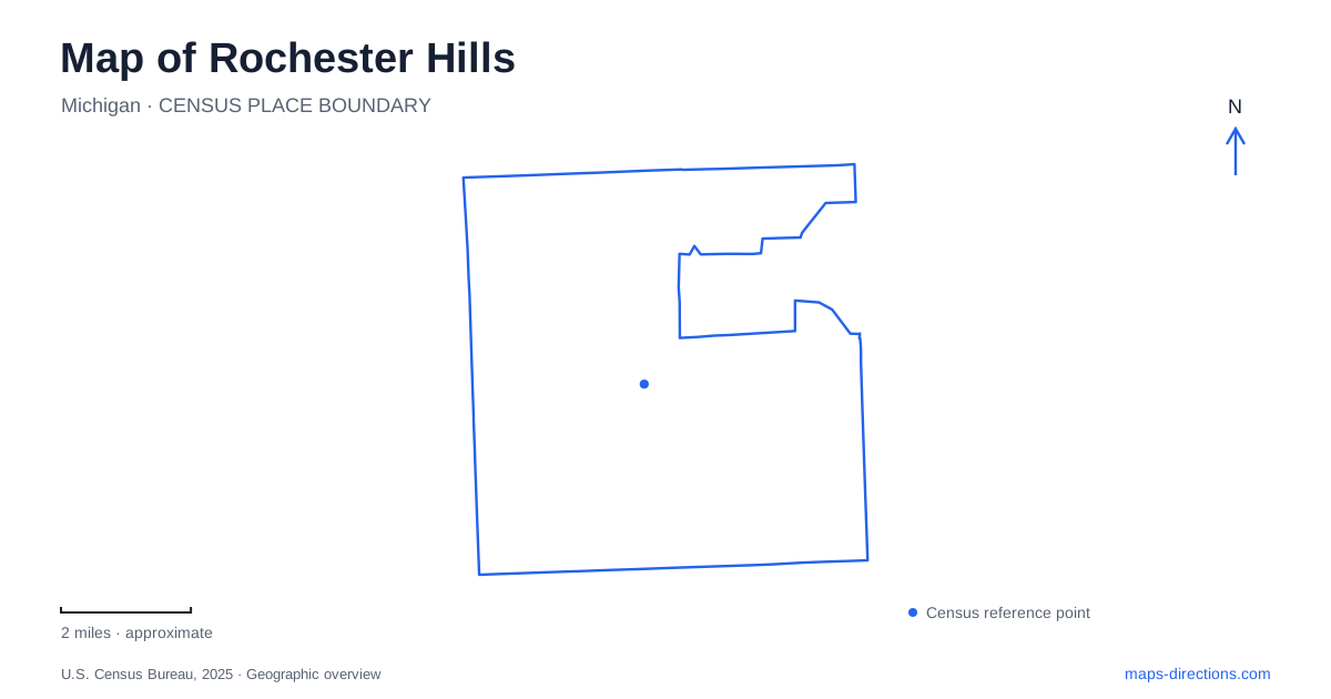
Street tiles load from OpenStreetMap when opened. The blue line shows the 2025 Census boundary.
- State
- Michigan
- Population · July 2025
- 77,539
- Land area
- 32.8 sq mi
- Water area
- 0.1 sq mi
Rochester Hills has a landscape shaped by creeks, former farms, railway corridors, and large estates. It also surrounds the separate City of Rochester on three sides, a distinction that matters when reading local addresses and downtown references. The older Avon Township name survives in roads and historical accounts, while the present city dates to 1984. A useful map connects these layers instead of treating the whole area as one downtown with outlying neighborhoods.
Avon Township and the river landscape
The Clinton River, Paint Creek, and Stoney Creek supplied water power for early mills. Those waterways helped determine where settlement and industry developed before modern roads became the main organizing lines. The municipal museum's map of building ages makes this point explicitly: present-day roads overlay a landscape whose earlier development followed riverbeds and hills more closely.
That is a helpful way to approach Rochester Hills. Avon Road, surviving agricultural properties, and the creek corridors are clues to an earlier geography beneath the subdivisions. Railroads later connected the area to broader markets, and the former railway beds now used by the Paint Creek and Clinton River trails preserve another transportation layer.
The separate City of Rochester lies within this broader historical setting, bordered on the north, west, and south by the surrounding municipality. A destination described informally as being “in Rochester” may therefore require closer attention to the actual street and municipal boundary. This is a local geography issue, not simply a variation in how a neighborhood is named.
Stoney Creek Village and Van Hoosen Farm
The museum at 1005 Van Hoosen Road provides a concentrated view of the agricultural past. Located in Stoney Creek Village, the property contains the 1840 farmhouse, the Red House, and the 1927 Dairy Barn. The dairy building now accommodates exhibits, allowing the structure itself to remain part of the interpretation rather than serving only as a container for unrelated displays.
The broader grounds include agricultural buildings, gardens, and Stoney Creek. This setting helps explain how domestic life, farm production, and water existed together on the property. The Taylor and Van Hoosen families' association with the site reaches back to 1823, giving the museum a much longer story than the present municipal name suggests.
For a map-based visit to Rochester Hills, the farm offers an especially useful contrast with the large arterial roads. Its buildings and landscape can be understood as one working property, while surrounding roads now connect a much more extensively developed area. The preserved grounds make that change in scale visible.
Water power at Yates and a modern river park
Yates Cider Mill at 1950 East Avon Road continues the connection between water and local production. Caroline and William Yates acquired land along the Clinton River in 1863 and operated sawmill and gristmill services using an existing dam and mill. Cider pressing followed in 1876 as nearby farmers grew apples.
The present mill building dates to 1894, when a water-driven turbine was installed. The operator identifies that turbine as still part of the cider-making process. This makes the river more than a scenic background: it explains the machinery, the building's location, and the business's historical development. A visit here can be related directly to the network of mills described in the area's early history.
Innovation Hills at 2800 West Hamlin Road offers a different relationship with water. It lies on the north side of Hamlin between Crooks and Adams, with ponds, overlooks, pathways, and boardwalks through woodland and wetland settings. The project's engineering record includes rain gardens and stormwater ponds, showing how modern recreation and water management share the site. This is an informative counterpoint to the mill: one landscape harnessed river power for production, while the other incorporates water and habitat into public open space.
An estate that helped establish a university
Meadow Brook Hall at 350 Estate Drive represents another major chapter in Rochester Hills. Built for Matilda Dodge Wilson and Alfred Wilson between 1926 and 1929, the Tudor Revival mansion occupies the university's East Campus near Walton Boulevard and Adams Road. Its grounds and gardens belong to an estate landscape rather than the tighter arrangement of a farm village.
The Wilsons' 1957 gift of property and funding helped establish the institution that became Oakland University. This history explains why a grand private house is now part of a university setting. The hall remains a distinct destination within that campus, with its own visitor address and public museum role.
Seen across the map, Van Hoosen Farm, Yates Cider Mill, Innovation Hills, and Meadow Brook Hall provide complementary views of Rochester Hills. Agricultural work, water-powered industry, environmental recreation, and estate philanthropy each left physical evidence. Following those places makes the city's roads and trails easier to understand as connections between different landscapes, rather than merely routes through a continuous suburban area.
Map and statistics: U.S. Census Bureau, 2025 Gazetteer, January 2025 generalized place boundaries and Vintage 2025 population estimates. Local references: City of Rochester Hills; City of Rochester; Rochester Hills Museum; Municipal museum publication hosted by City of Rochester; Pure Michigan; Yates Cider Mill; Hubbell Roth and Clark, in municipal agenda; Oakland University Archives; Meadow Brook Hall. Article prepared by Maps & Directions.